Koskela Road to Michigamme River (up to 8.35 miles)
Gauge Conditions
Runnable: ? – ? CFS
Approximate reading: This gauge is 12.7 miles away on Spruce. Use as a general reference only.
Data from American Whitewater & USGS
Run Map
Interactive run map
Loads as you approach this section.
Run Time Estimate
Select put-in and take-out to estimate time.
Plan This Trip
See wind-adjusted speed maps, forecast planning, and detailed time estimates.
Sign in to generate an AI timing estimate for this run.
Whitewater timing varies with scouting, portages, and group pace. Use as a planning baseline.
Description
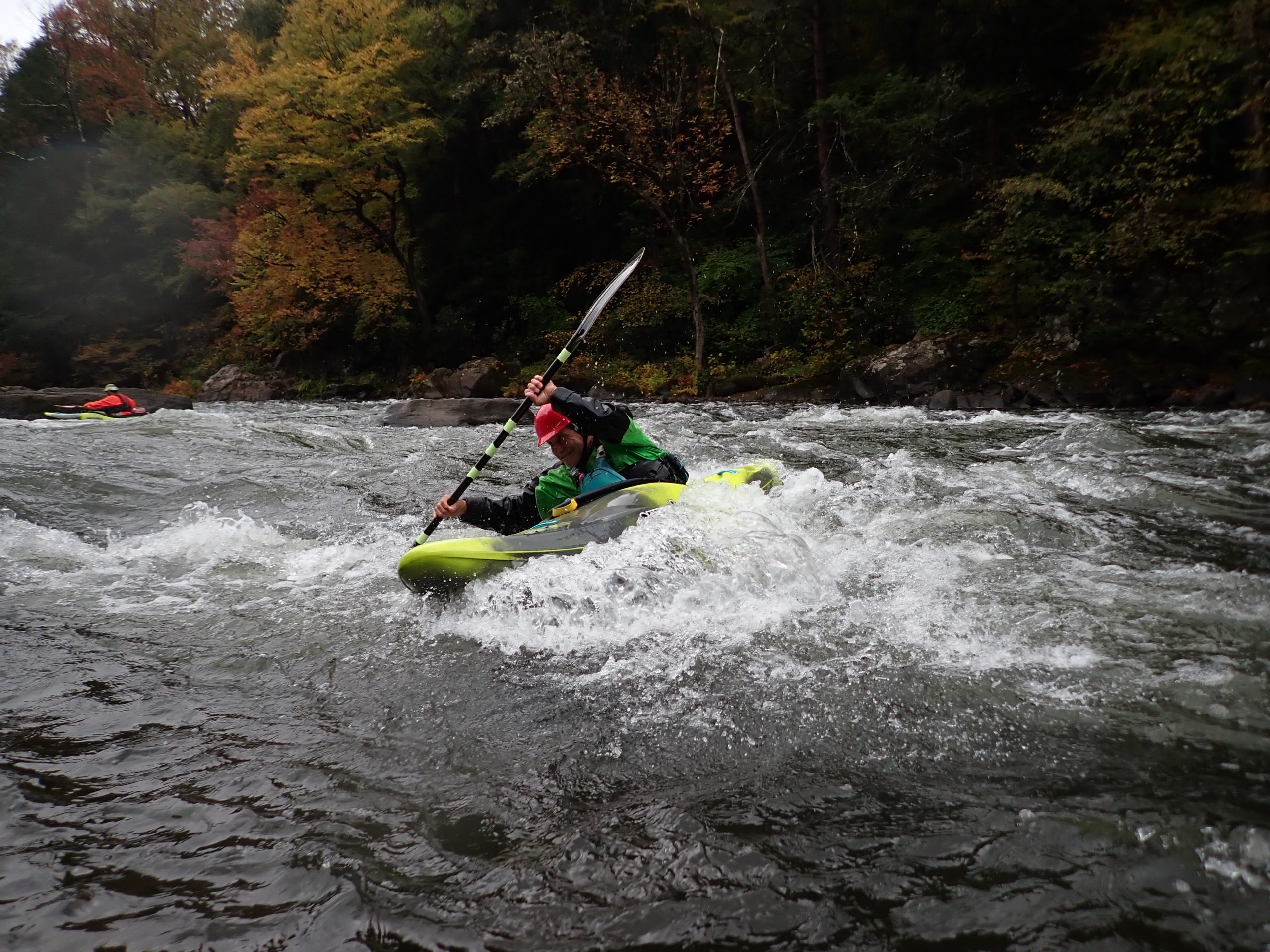
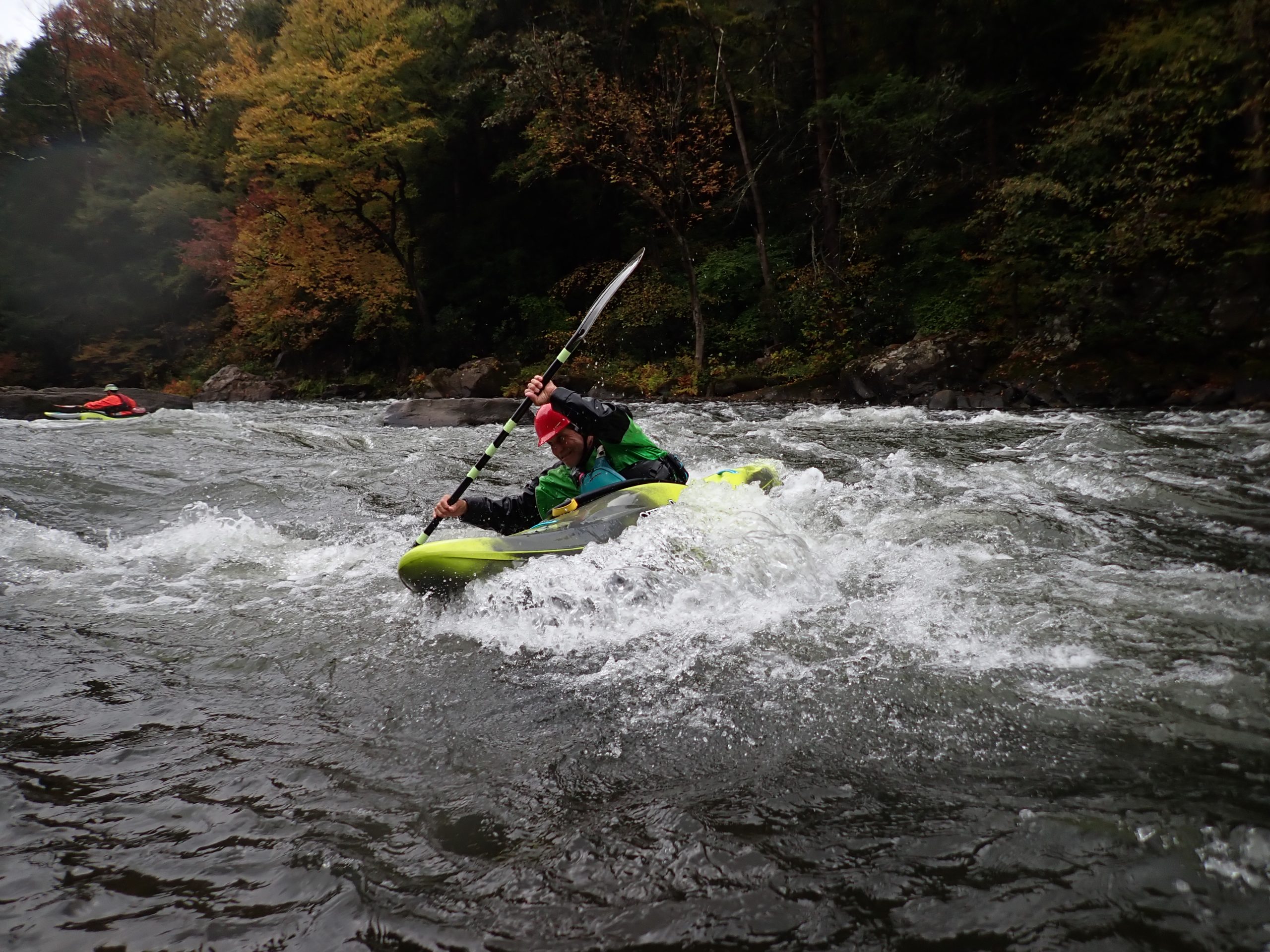
This small tributary of the Michigamme won't excite the seasoned whitewater paddler, but should give beginners a nice taste of tame rapids almost throughout its length. Expect tough going in a few spots, as the river may become tough to follow in a few areas of braided channels. It is likely that some of the 'drops' (and portages) will be over beaverdams or logjams.
There are a few options for shorter trips. We are uncertain regarding access at listed put-in and take-out. It is possible permissions may need be sought for one or both, if property involved is private.
Rapids in this Run (15)
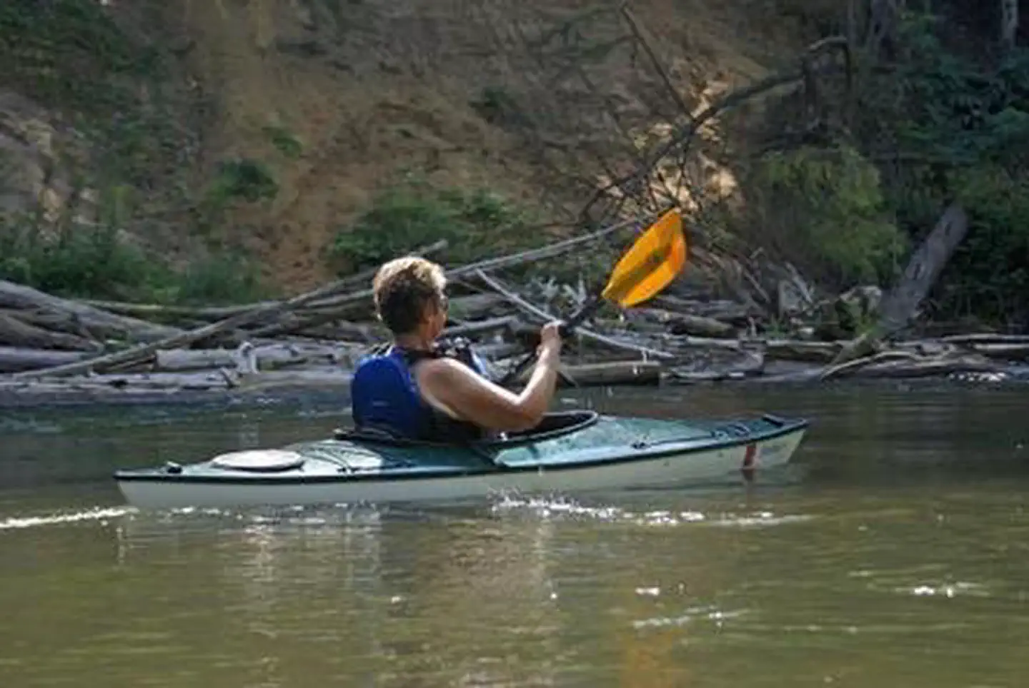 Rapid
Rapid
Drainage area ~8.4 square miles.
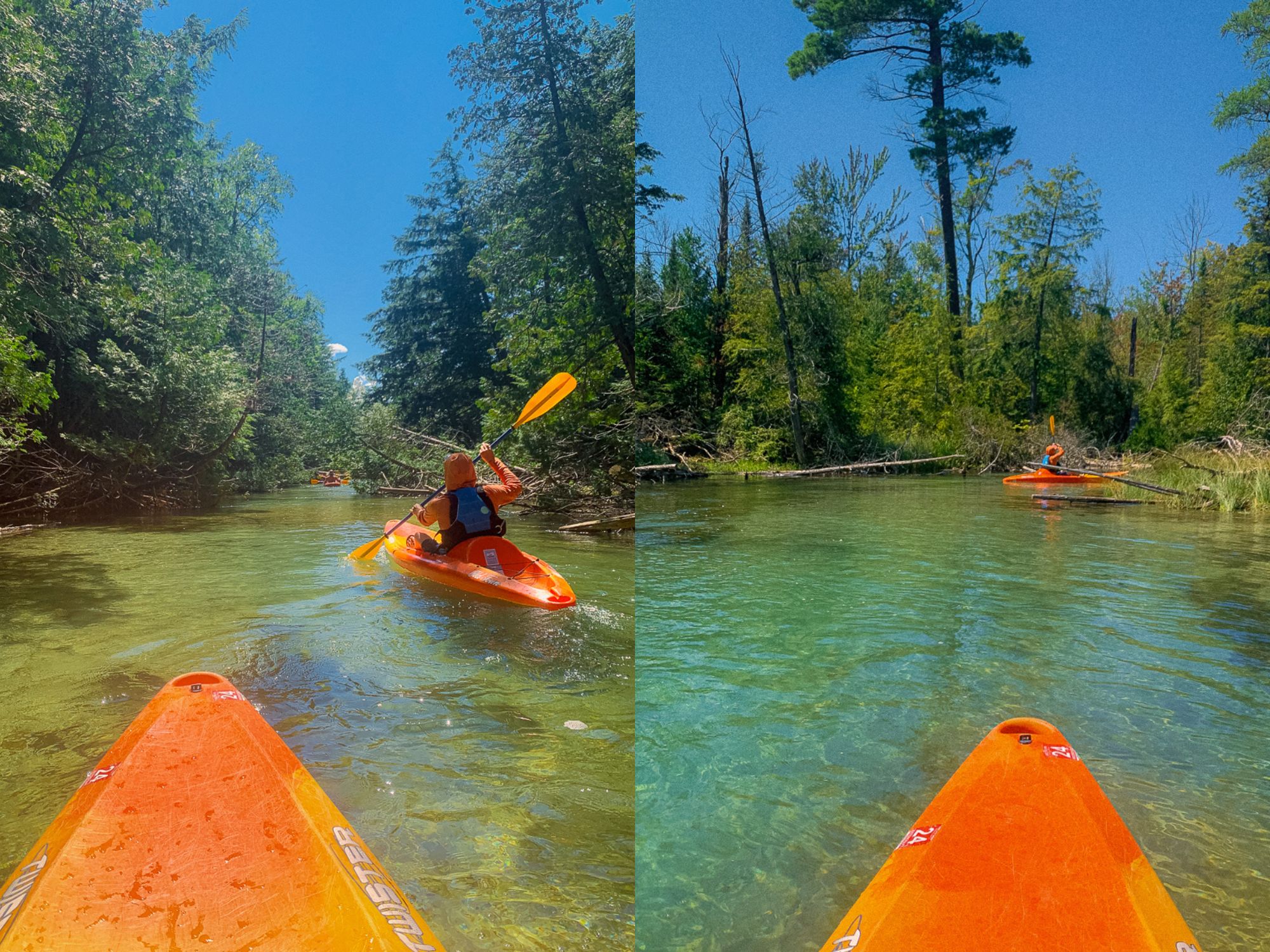 Rapid
Rapid
Confluence, unnamed trib
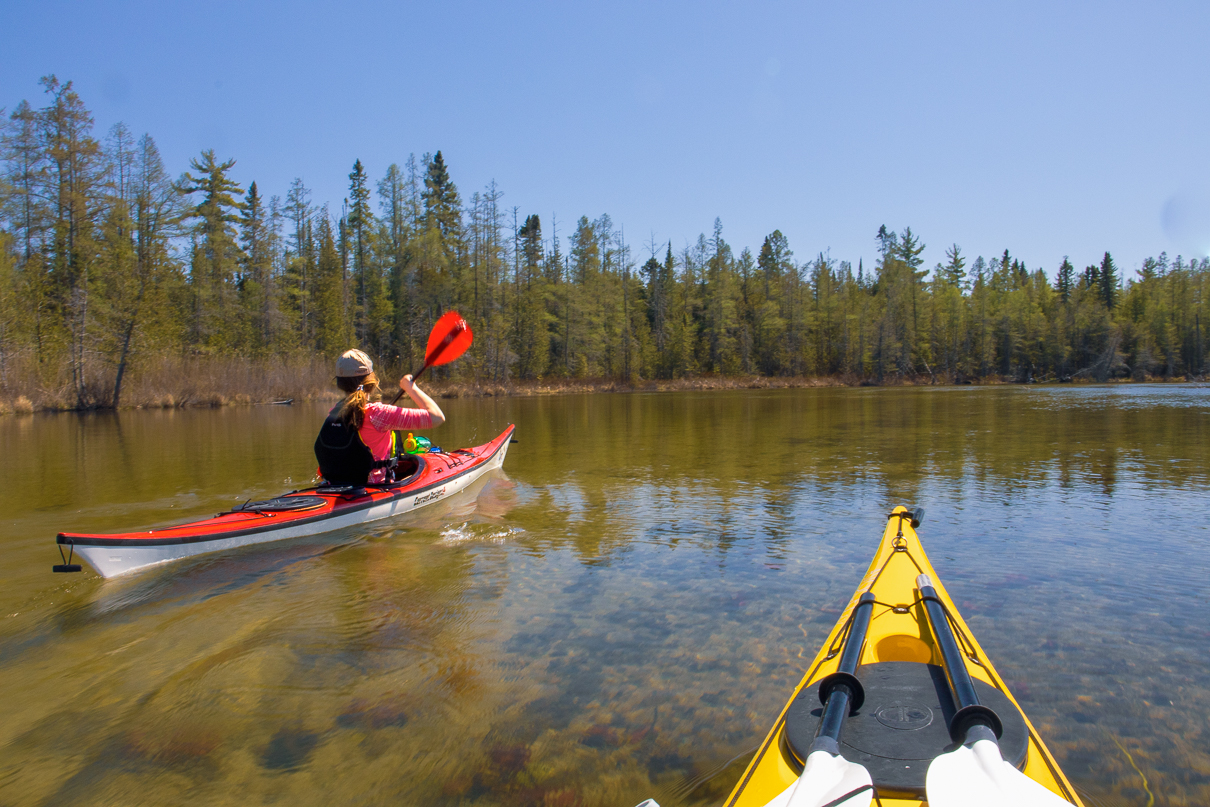 Rapid
Rapid
Fence River Road
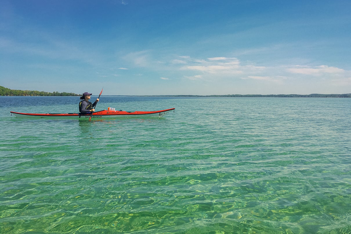 Rapid
Rapid
Pipeline Clearing?
 Rapid
Rapid
Powerline Crossing
 Rapid
Rapid
Island
Rapid
Braided Channel
 Rapid
Rapid
Powerline Crossing
Rapid
Confluence, Mill Creek
Rapid
Private footbridge
Rapid
Flatwater begins
Rapid
Possible egress
Rapid
Co.Rd.Lga
Rapid
Boat Ramp
Rapid
Campground
Difficulty
Class I-II
Length
8.2 mi
Gradient
20 ft/mi
max 30
Rapids
15
Access Points
Shuttle Info
We strongly suspect that much shorter shuttle routing than the default below is possible. However, it is likely to use very sketchy, unimproved roads which may be impassible in early spring, after heavy rains, or with anything less than four-wheel drive and high-clearance vehicles. We leave it to the intrepid explorer to decide how adventurous to be in pursuing alternatives.
Otherwise, this shuttle (as defaulted by GoogleMaps) is somewhere nearly 3/4-hour (each way). We highly recommend meeting at take-out, gearing up, swapping boats and boaters to as few vehicles as possible (to leave 'drop vehicles' there), then driving to put-in to run river. This gets you on water without the delay which would result from meeting at put-in, having to run shuttle down and back up (while some boaters wait nearly an hour-and-a-half) before putting on river!
Difficulty Classes
I Easy
II Novice
III Intermediate
IV Advanced
V Expert/Extreme
VI Unrunnable
Current Conditions
5-Day Forecast
Whitewater data from
American Whitewater
American Whitewater