Rapid
MI
Drainage area ~8.4 square miles.
Save this feature with the run it belongs to.
Gauge Conditions
Runnable: ? – ? CFS
Approximate - nearest available gauge. Use as general reference only.
Data from American Whitewater & USGS
Photo
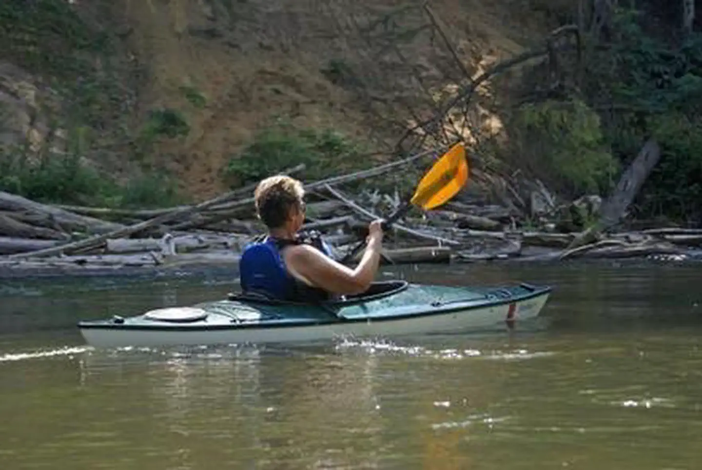
Photo courtesy of American Whitewater
Description
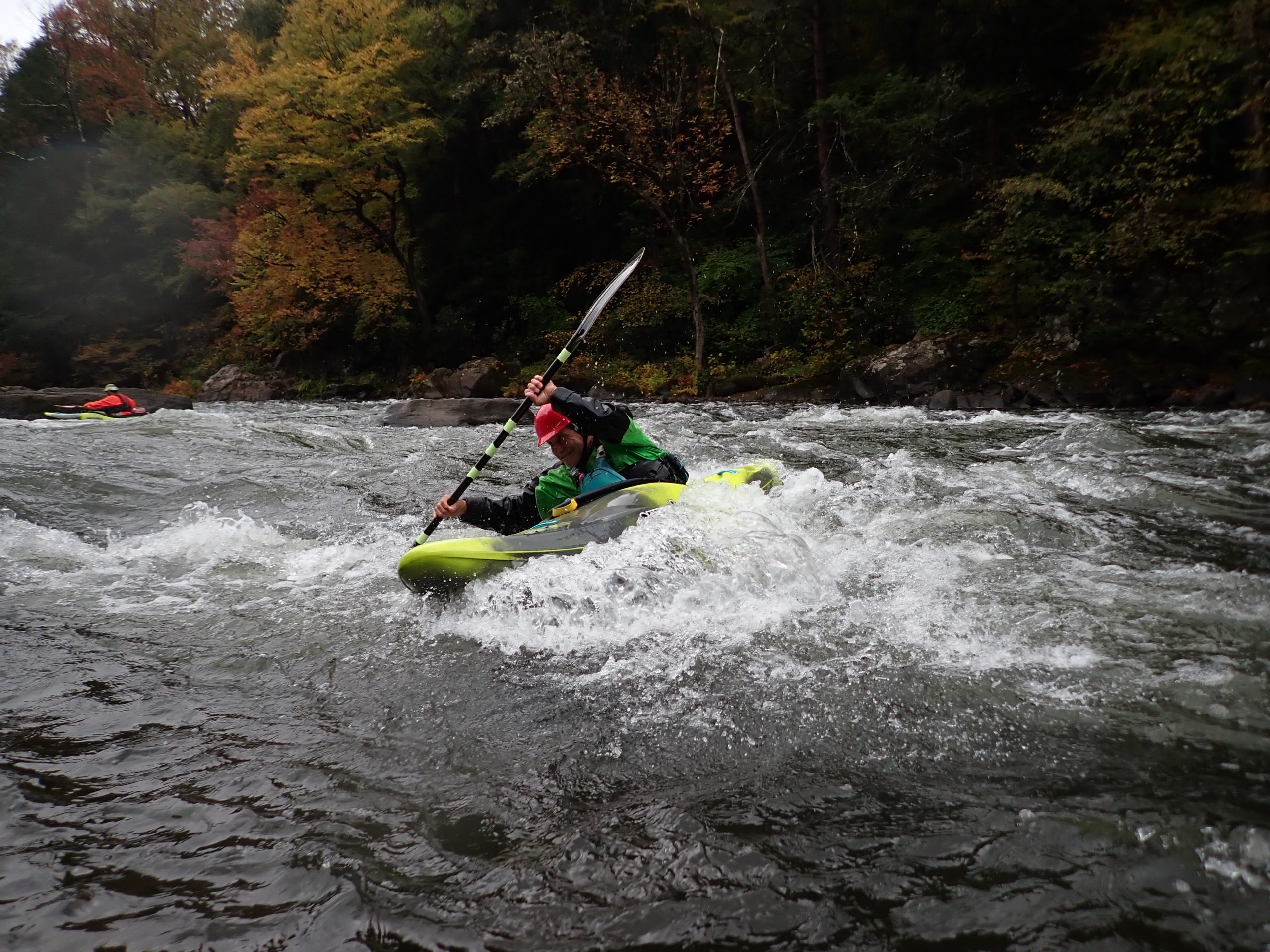
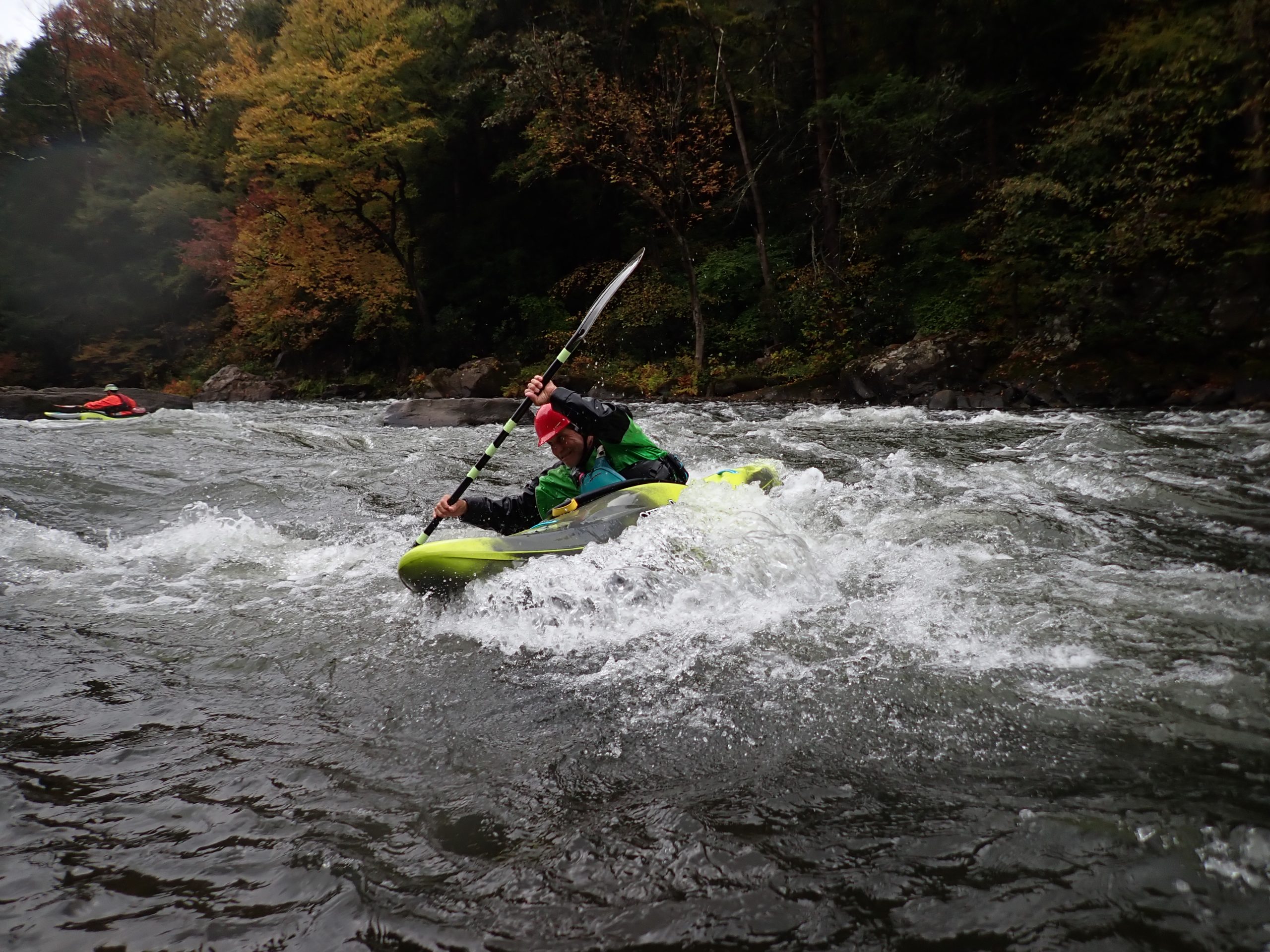
The Spruce River rapid between Koskela Road and the Michigamme River offers a challenging descent through a narrow, boulder-strewn channel with potential technical maneuvering required. Given the limited drainage area and undefined difficulty rating, paddlers should carefully scout the rapid and be prepared for potential hazards such as submerged rocks, tight turns, and variable water levels that could impact route selection and navigability.
Location
Interactive river map
Loads as you approach this section.
Other Rapids on This Run (16)
 Rapid
N/A
Rapid
N/A
Put-in
 Rapid
N/A
Rapid
N/A
Confluence, unnamed trib
 Rapid
N/A
Rapid
N/A
Fence River Road
 Rapid
N/A
Rapid
N/A
Pipeline Clearing?
 Rapid
N/A
Rapid
N/A
Powerline Crossing
 Rapid
N/A
Rapid
N/A
Island
Rapid
N/A
Braided Channel
 Rapid
N/A
Rapid
N/A
Powerline Crossing
Rapid
N/A
Confluence, Mill Creek
Rapid
N/A
Private footbridge
Rapid
N/A
Flatwater begins
Rapid
N/A
Possible egress
Rapid
N/A
Co.Rd.Lga
Rapid
N/A
Boat Ramp
 Rapid
N/A
Rapid
N/A
Take-out
Rapid
N/A
Campground
View Full Run
Koskela Road to Michigamme River (up to 8.35 miles)
Spruce
I-II
8.2 mi
Current Conditions
5-Day Forecast
Whitewater data from
American Whitewater
American Whitewater