Morgan Mine Road to CR519 (8 miles)
Gauge Conditions
Runnable: ? – ? CFS
Approximate reading: This gauge is 9.6 miles away on Jackson Creek. Use as a general reference only.
Data from American Whitewater & USGS
Run Map
Run Time Estimate
Select put-in and take-out to estimate time.
Plan This Trip
See wind-adjusted speed maps, forecast planning, and detailed time estimates.
Sign in to generate an AI timing estimate for this run.
Whitewater timing varies with scouting, portages, and group pace. Use as a planning baseline.
Description
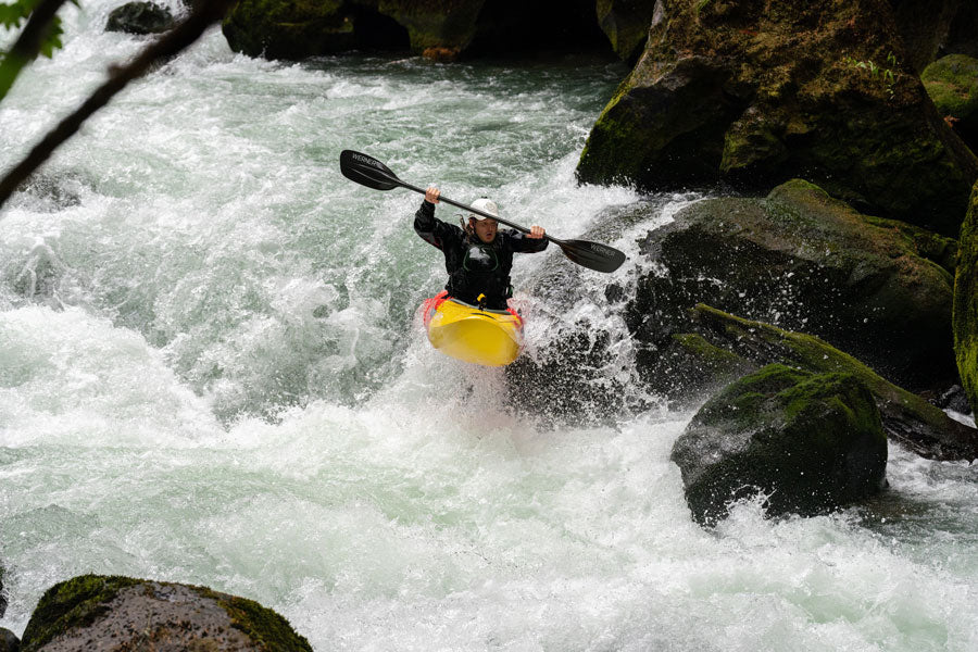
OK, not everybody in the U.P. is ready for the big stuff, and sometimes even the folks looking for the big stuff get caught by high water making their targeted runs too 'big'. Here's a possibility for just such situations.
Jackson Creek is a tributary of the Black River, and our listed stretch starts just 3.0 miles East of Wakefield and finishes 4.2 miles North of Wakefield. This 8 mile reach averages 20FPM, and never exceeds 40FPM (full-mile gradient), so don't expect any big drops. There will be one stretch of 2 miles and another stretch of about 1.3 miles of lower gradient but otherwise you can expect pretty continuous good current and a fine scattering of low-grade rapids. And, expect some surprising up-north scenery on this little creek!
With something this small (only 17 square miles drainage at US2, about 4.4 miles upstream of our listed put-in), expect also to find occasional problems with deadfall and snags (though aerial views seem to suggest this is not likely to be too unmanageable). And, obviously, we're talking small and intimate, here, and likely runnable only at times of peak flow (early spring snow melt or after heavy rains).
So . . . anyone have any first-hand experience with this? Help out your fellow boaters via the "Add a Comment" below, or (better yet) add a report, complete with photo(s)/video(s). Let us know if this is worth doing, or a complete waste of time (even for beginners).


Difficulty
Class II(III)
Length
7.4 mi
Gradient
20 ft/mi
max 40
Rapids
9
Access Points
Difficulty Classes
I Easy
II Novice
III Intermediate
IV Advanced
V Expert/Extreme
VI Unrunnable
Current Conditions
5-Day Forecast
Whitewater data from
American Whitewater
American Whitewater