Rapid
MI
Pipeline Crossing
Save this feature with the run it belongs to.
Gauge Conditions
Runnable: ? – ? CFS
Approximate - nearest available gauge. Use as general reference only.
Data from American Whitewater & USGS
Photo

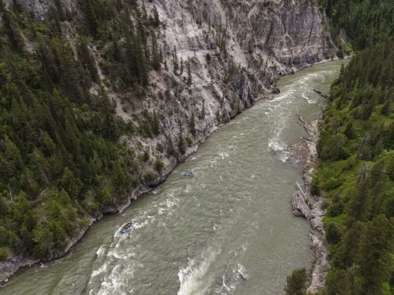
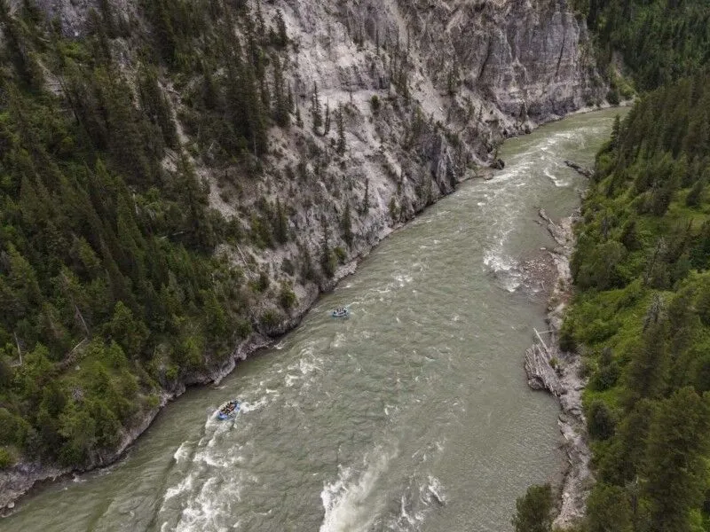
Photo courtesy of American Whitewater
Description
Mostly a waypoint . . . look for a clearing where (at least on the topo maps) a (buried) pipeline crosses the river.
Location


View Full Run
Morgan Mine Road to CR519 (8 miles)
Jackson Creek
II(III)
7.4 mi
Current Conditions
5-Day Forecast
Whitewater data from
American Whitewater
American Whitewater