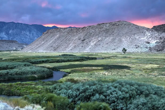
Pleasant Valley Reservoir to Pleasant Valley Campground Footbridge
Gauge Conditions
Runnable: ? – ? CFS
Approximate reading: This gauge is 5.3 miles away on 1. Owens River. Use as a general reference only.
Data from American Whitewater & USGS
Run Map
Run Time Estimate
Select put-in and take-out to estimate time.
Plan This Trip
See wind-adjusted speed maps, forecast planning, and detailed time estimates.
Sign in to generate an AI timing estimate for this run.
Whitewater timing varies with scouting, portages, and group pace. Use as a planning baseline.
Description
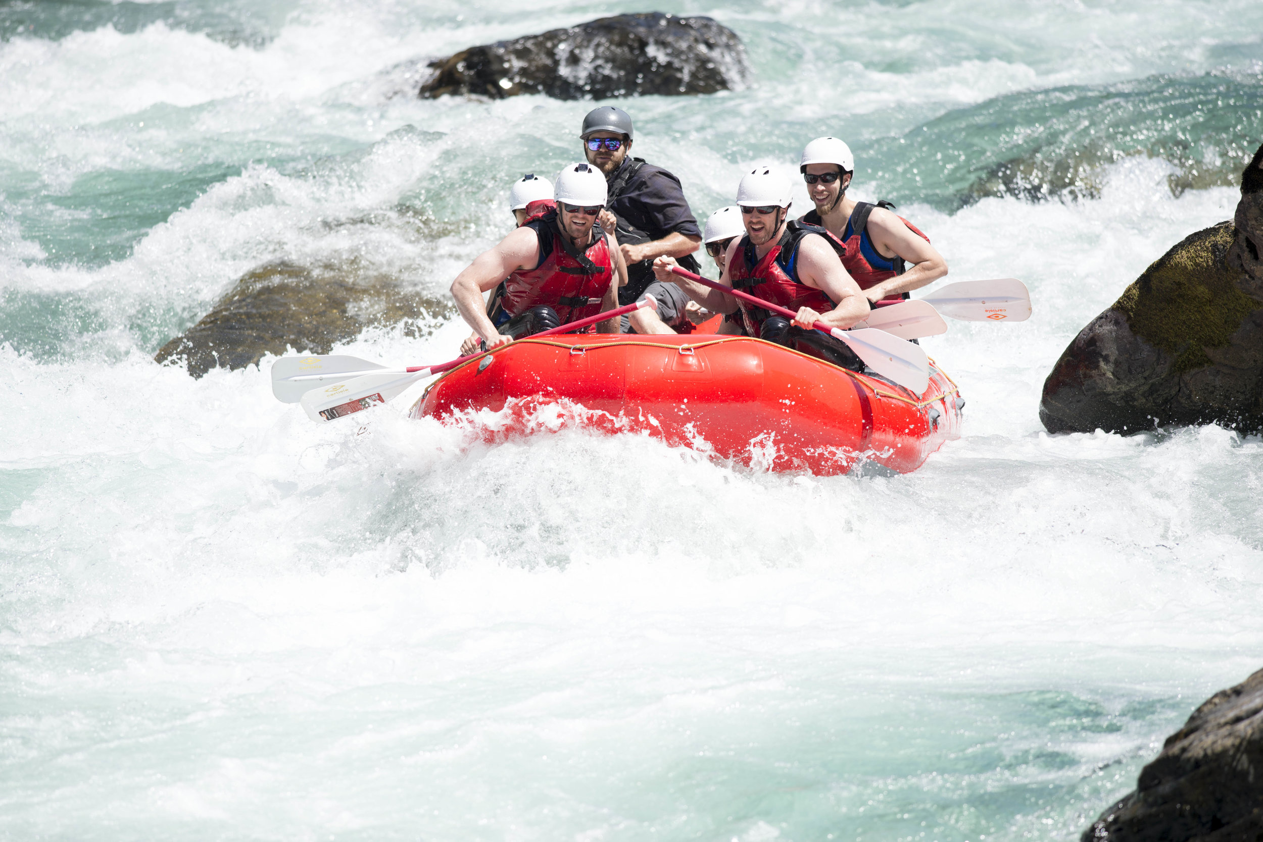
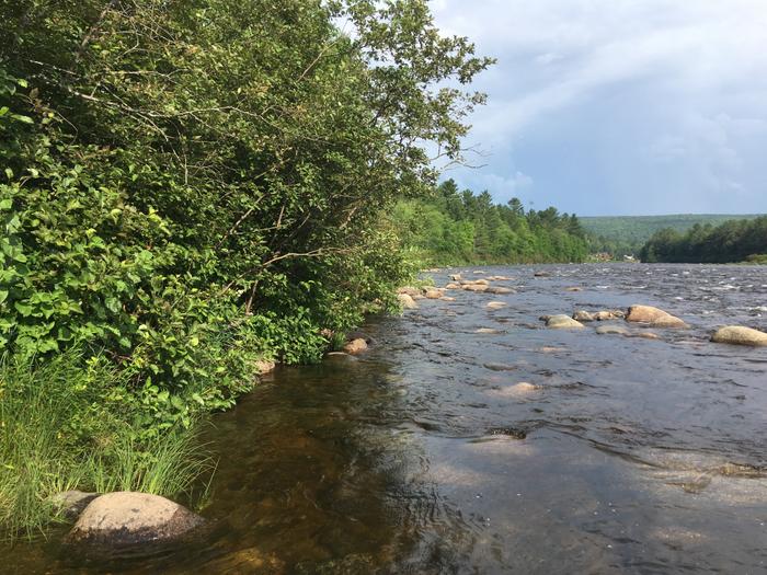
This short section of river offers unique basalt boulders in the riverbed and a few rapids. The river splits into two channels before crossing under Pleasant Valley Rd. The left fork has more interesting whitewater. The right fork has the largest rapid of the run just before the take out. You can have the best of both worlds by switching from left to right fork at 37.40923, -118.50801 to 37.40858, -118.50846.
Flows: 250-600 (600 is optimum).
Season: year round.
*The AW system isn't currently able to read the gauge for this section, but a map and links to gauges for the Northern Owens Valley can be found here.*
Caltopo map for this run: *https://caltopo.com/m/11UR4US/AJ90H2A7TQN1K32G.*
Watch for stinging nettles along the banks in summer.
Rapids in this Run (4)
Hazards & Portages (3)
Caution: The following locations may require scouting or portaging. Always check current conditions.
Difficulty
Class II-III
Length
1.3 mi
Rapids
4
1 Hazard
2 Portages
Access Points
Difficulty Classes
I Easy
II Novice
III Intermediate
IV Advanced
V Expert/Extreme
VI Unrunnable
Current Conditions
5-Day Forecast
Whitewater data from
American Whitewater
American Whitewater