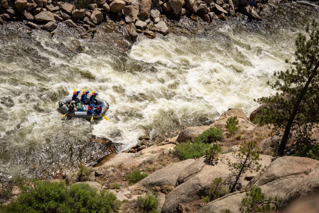
Portage
CA
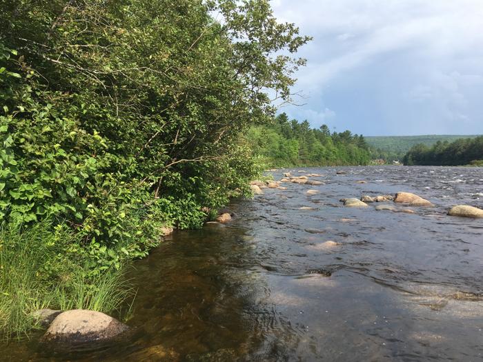
take out to switch forks
Save this feature with the run it belongs to.
Gauge Conditions
Runnable: ? – ? CFS
Approximate - nearest available gauge. Use as general reference only.
Data from American Whitewater & USGS
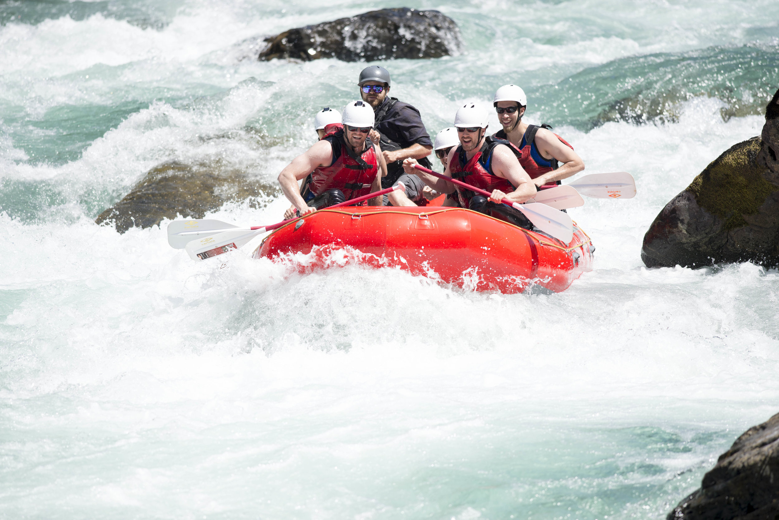
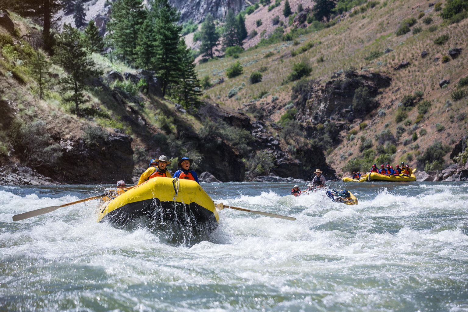
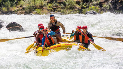
Photo
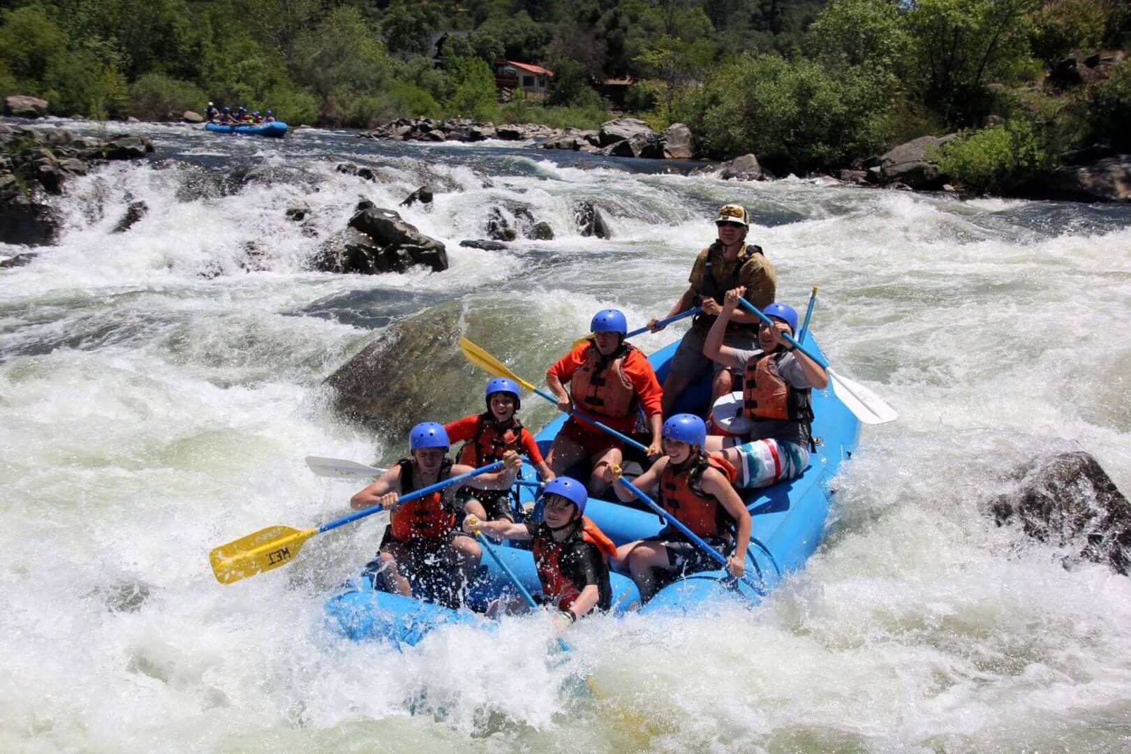
Photo courtesy of American Whitewater
Description
switch forks here to avoid overgrown veg and to get to Pleasant Falls. use trail through a campsite to other side of road.
Location
View Full Run
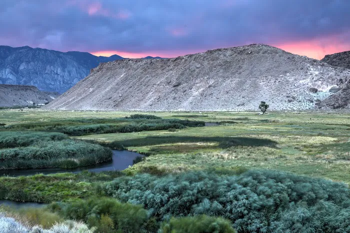
Pleasant Valley Reservoir to Pleasant Valley Campground Footbridge
1. Owens River
II-III
1.3 mi
Portage recommended — Scout before running and consider carrying around this feature.
Current Conditions
5-Day Forecast
Whitewater data from
American Whitewater
American Whitewater