US Route 281 to US Route 172
Gauge Conditions
Runnable: 300.0 – 20,000.0 CFS
Data from American Whitewater & USGS
Run Map
Description
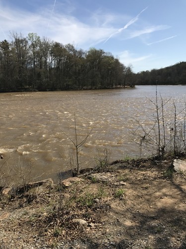
The gauge is located in Carlton GA, 18 miles south of Hwy 281. It will take the water 6 to 12 hours to hit the gauge.
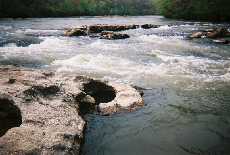
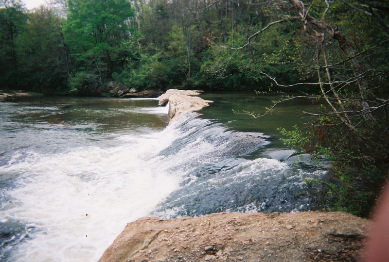
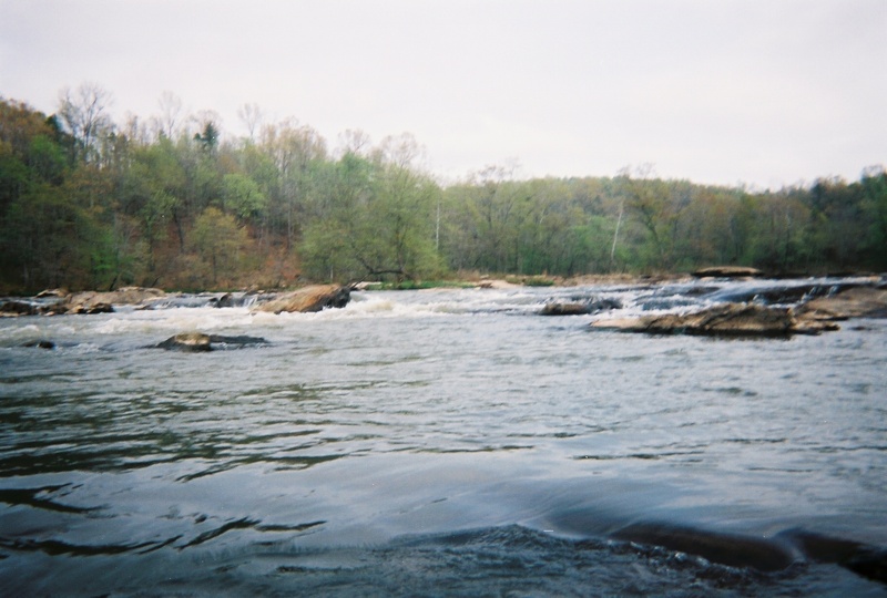
2 foot is the minimum for this run. 3-4 foot is optimal for beginners. Levels above 6 foot the river takes on a totally different character and is better suited for more advanced paddlers.
Around 7 or 8 feet the outpost start shutting down trips, and the surfing starts to get nice!
At levels above 15 feet or so, large surf waves and holes abound, some have good eddies, many are caught on the fly. Roostertail Rapid at the end is an incredible sight and fairly intimidating with large standing waves and holes. At these levels, come with a bombproof roll or you will be looking for your boat in Augusta...(Alex Harvey, 2003)
The river has been run upwards of 20 feet or 17,000 cfs.
There are two outfitters available on this run. One is located at the put-in and the other is located at the take-out.
The Broad River Outpost is located at the put-in. They have a large parking area, and charge $5 for parking and shuttle. According to the BRO website, there are 7 rapids in this stretch. At flood stage, Roostertail Rapid makes a huge 10 foot tall surfing wave.
A note from the BRO Owners:
> "I own and operate the Broad River Outpost on Hwy. On our gage at the put-in, we tried to 'mimic' the USGS gage' at Carlton. It's similar at low levels but gets progressively lower at the high water levels.
>
> In the years past we had a painted gage on the bridge itself. Like our new gage, the Bridge Gage has a proportionally lower reading than the gage at the 72 bridge . . . wider channel, steep gradient, etc ???? We should do a mathematical comparison / curve . . . maybe one day."
>
> _The following is an approx comparison of the gage heights._
>
> -2 foot on the bridge is about 2 foot on the usgs and our new gage at the put-in.
>
> 2.5 feet on the bridge is 64" on our new gage which is approx 6'. Our new gage stops at 6 foot.
>
> 12 foot on the bridge is about 21 on the usgs.
>
> 16 feet on the 281 bridge was approx 27 at the USGS site - the highest I've seen.
>
> There are many old paddlers who've run the Broad River at the high water levels - it turns into a wonderful 'big water' class 3-4 run. We thought an update on the gage system would be helpful. We do get calls from confused older boaters . . . but then it could be our age.
>
> Thanks
>
> Michael Moody
For more info: Broad River Outpost.
The other outfitter for this section of river is The Sandbar. They are located about 1 mile past the bridge on river left. Driving directions if you're coming from Athens on Hwy 172 go over the bridge for the Broad and about 1/2 mile on the right is a dirt road King Hall Mill road. Go about 1 mile look for their sign on the right. Their shuttle service costs $5 and puts you in right above the first ledge. It also cuts out a mile and a half of flatwater.
If you are into creeking, and the Broad is too high for mere mortals, a 2 mile run that opens up is Mill Shoal Creek which is a class 3 run where the owner of the Sandbar, Gerald Carey, owns all of the land on river right and will arrange shuttle. Or if you do your own shuttle, the owner does not mind as long as you notify them. They will give you directions to the put-in and take-out.
For more information call (706) 245-4163 or visit the website for the Sandbar.
Rapids in this Run (2)
Waterfalls (1)
Difficulty
Class I-II(III)
Length
5.8 mi
Gradient
9 ft/mi
Rapids
2
Access Points
Difficulty Classes
I Easy
II Novice
III Intermediate
IV Advanced
V Expert/Extreme
VI Unrunnable
Current Conditions
5-Day Forecast
Whitewater data from
American Whitewater
American Whitewater