Rapid
GA
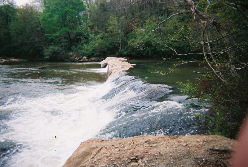
Skull Shoal Creek
Save this feature with the run it belongs to.
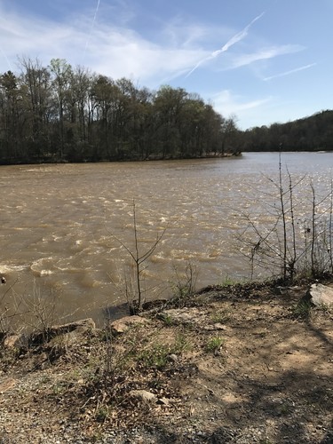
Gauge Conditions
Data from American Whitewater & USGS
Photo
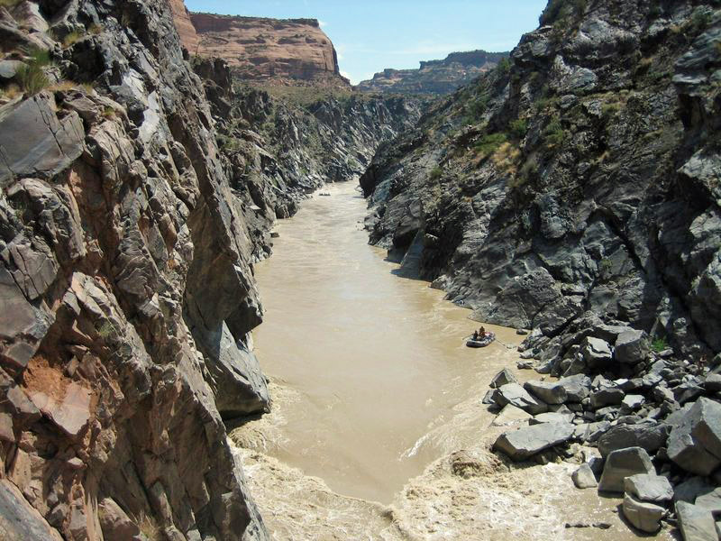
Photo courtesy of American Whitewater
Description
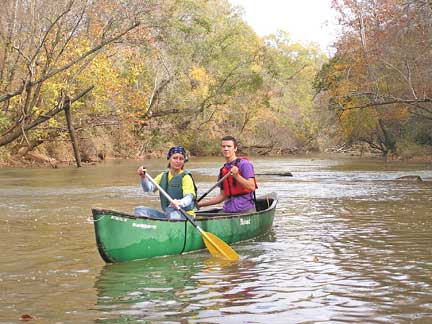
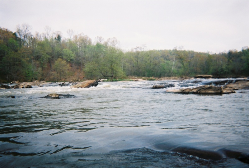
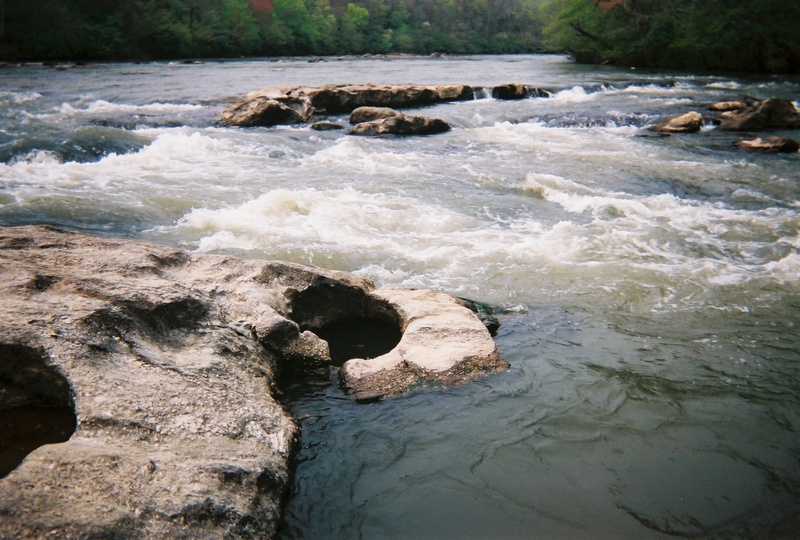
Skull Shoal comes in below the waterfall on the right.
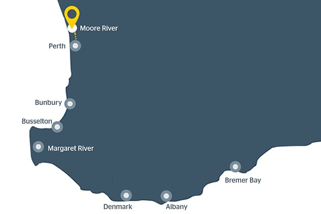
Location

View Full Run
US Route 281 to US Route 172
Broad
I-II(III)
5.8 mi
Current Conditions
5-Day Forecast
Whitewater data from
American Whitewater
American Whitewater