How's Your
River
×
Explore
Explore Map
Water Bodies
Gauges
Access Sites
Tidal Stations
Whitewater
Pricing
Login
Sign Up
Hazard Warning:
Hazard information may be user-submitted and unverified. Conditions change frequently. Always scout rapids and obstacles yourself.
Whitewater
Georgia
Broad - US Route 281 to US Route 172
The Sandbar put-in
Put-in
GA
The Sandbar put-in
Broad - US Route 281 to US Route 172 (GA)
Monitor this Rapid
Water Body
This Run
Map
Other Rapids
Gauge
Weather
Directions
Gauge Conditions
Broad River above Carlton, GA
Downstream
Primary
Runnable: 300.0 – 20,000.0 CFS
Data from
American Whitewater
&
USGS
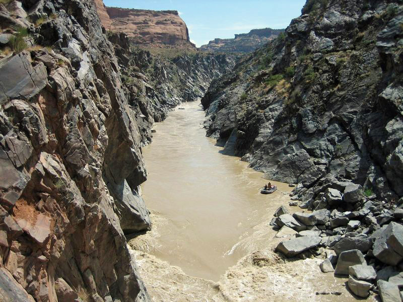
Photo
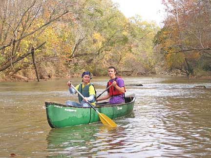
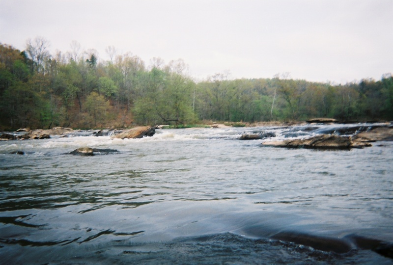
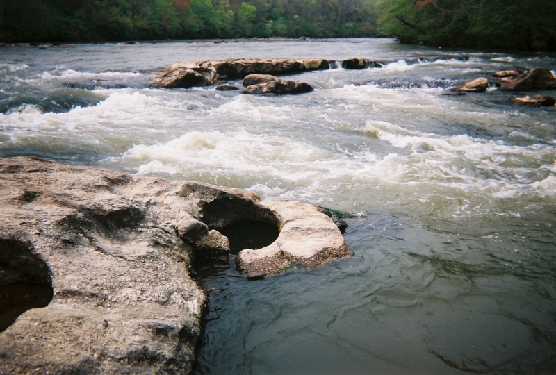
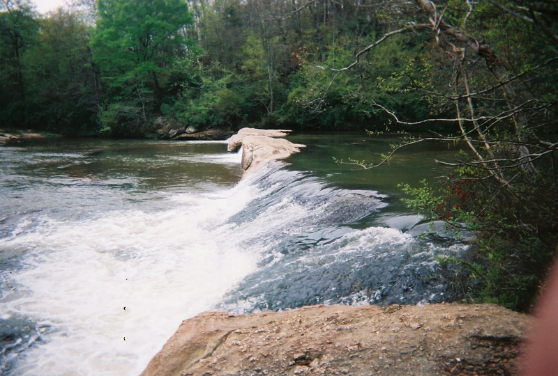
Photo courtesy of
American Whitewater
Description
This is the put-in for The Sandbar outfitters ,it cuts out all the flatwater at the beginning of this run and puts you at the top of the first ledge.
Location
Radar
Counties
Cell
Verizon
AT&T
T-Mobile
Dark
Satellite
Terrain
Other Rapids on This Run (8)
Playspot
II
First Ledge
1.7 mi
Rapid
II
Lunch Stop Rock
3.3 mi
Waterfall
II+
3 Falls
4.3 mi
Rapid
Skull Shoal Creek
4.4 mi
Playspot
II+
Roostertail Rapid
5.0 mi
Playspot
I
Hwy 172 bridge
5.5 mi
Rapid
Broad River Outpost takeout
6.5 mi
Playspot
II+
Moores' ledge
6.8 mi
Type
Put-in
Mile Marker
1.5 mi
Directions
Navigate
View Full Run
US Route 281 to US Route 172
Broad
I-II(III)
5.8 mi
Current Conditions
5-Day Forecast
Whitewater data from
American Whitewater
The Sandbar put-in