Wequiock Falls to Nicolet Drive (1.25 miles) *Access Issues*
Gauge Conditions
Runnable: ? – ? CFS
Approximate reading: This gauge is 6.9 miles away on Wequiock Creek. Use as a general reference only.
Data from American Whitewater & USGS
Run Map
Interactive run map
Loads as you approach this section.
Run Time Estimate
Select put-in and take-out to estimate time.
Plan This Trip
See wind-adjusted speed maps, forecast planning, and detailed time estimates.
Sign in to generate an AI timing estimate for this run.
Whitewater timing varies with scouting, portages, and group pace. Use as a planning baseline.
Description
Quick Facts:
Location: EastCentral Wisconsin, ~10 miles ENE from Green Bay.
Shuttle Length/DriveTime: 1.9 miles/4 minutes
Character: A small lazy stream (upriver of this point) drops into a wooded up, Midwest-style canyon, and races toward the bay of Green Bay.
Put-in elevation is approximately 710'.
Take-out elevation is approximately 600'.
Thus total elevation change is approximately 110'.
Drainage area at the falls is 8.72 sq.mi. (as calculated via USGS StreamStats Beta software).
Video link: https://youtu.be/OdPKR\_lQkiE
---
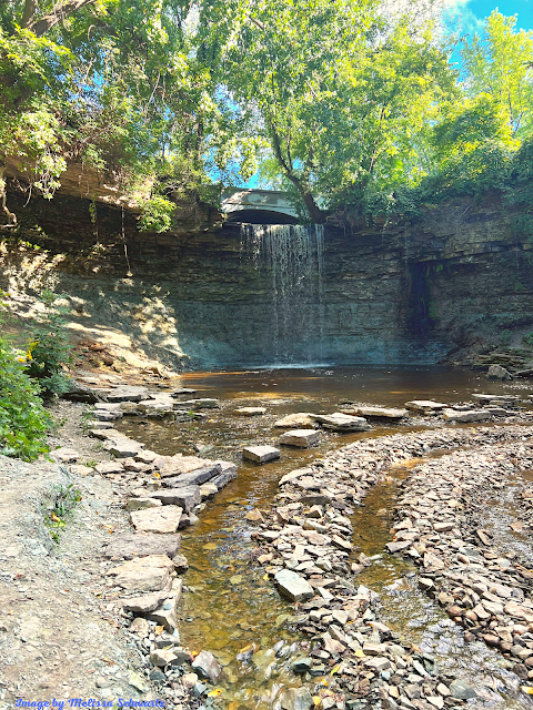
A scenic waterfall in a small wayside park makes one wonder 'what lies downstream?' Taking a look (on the downstream side of the culvert passing under the road below the falls) the creek continues for a ways in a deep (for EastCentral Wisconsin) gorge. Unfortunately, much of the ~1.25 miles to the next road is heavily wooded; Deadfall and snags would be *everywhere*. The road at the take-out (where numerous deadfall and snags are apparent just upstream), is posted 'No Parking' (on both sides) for a good distance either side of the creek, so you would have a bit of a carry at the end of the run to anyplace you would be able to park your shuttle vehicle (admittedly not a problem for most boaters).
So . . . why put this on AW? To save anyone the error of thinking they may have discovered a possible new whitewater run from going here with great expectations. It would take extensive logging (and with great regularity) to make this a 'go'.
That said, if you are bored some time and feel like exploring . . . it could be interesting to walk down this creek to see what all is there. (Hint: Aerial photos appear to show a couple significant drops downstream!) Just keep in mind . . . Wisconsin law says you have the right to be *on the water* or *in the water*, but you have *no right to be on shore on private property*! Unless you can find the landowner to ask and receive permission before exploring, keep your feet wet and you're ok, set foot on dry land, and you ARE TRESPASSING!
Rapids in this Run (1)
Waterfalls (2)
Hazards & Portages (3)
Caution: The following locations may require scouting or portaging. Always check current conditions.
Difficulty
Class II-IV
Length
1.2 mi
Gradient
88 ft/mi
max 100
Rapids
1
3 Hazards
Access Points
Difficulty Classes
I Easy
II Novice
III Intermediate
IV Advanced
V Expert/Extreme
VI Unrunnable
Current Conditions
5-Day Forecast
Whitewater data from
American Whitewater
American Whitewater