Wilderness Bridge to Slippery View River Access
Gauge Conditions
Runnable: 450.0 – 800.0 CFS
Clear Creek usually has the same flow as Indian Creek (where the gauge is located) but this may be affected by the 2020 Slater Fire, making Clear Creek a bit l
Data from American Whitewater & USGS
Run Map
Run Time Estimate
Select put-in and take-out to estimate time.
Plan This Trip
See wind-adjusted speed maps, forecast planning, and detailed time estimates.
Sign in to generate an AI timing estimate for this run.
Whitewater timing varies with scouting, portages, and group pace. Use as a planning baseline.
Description
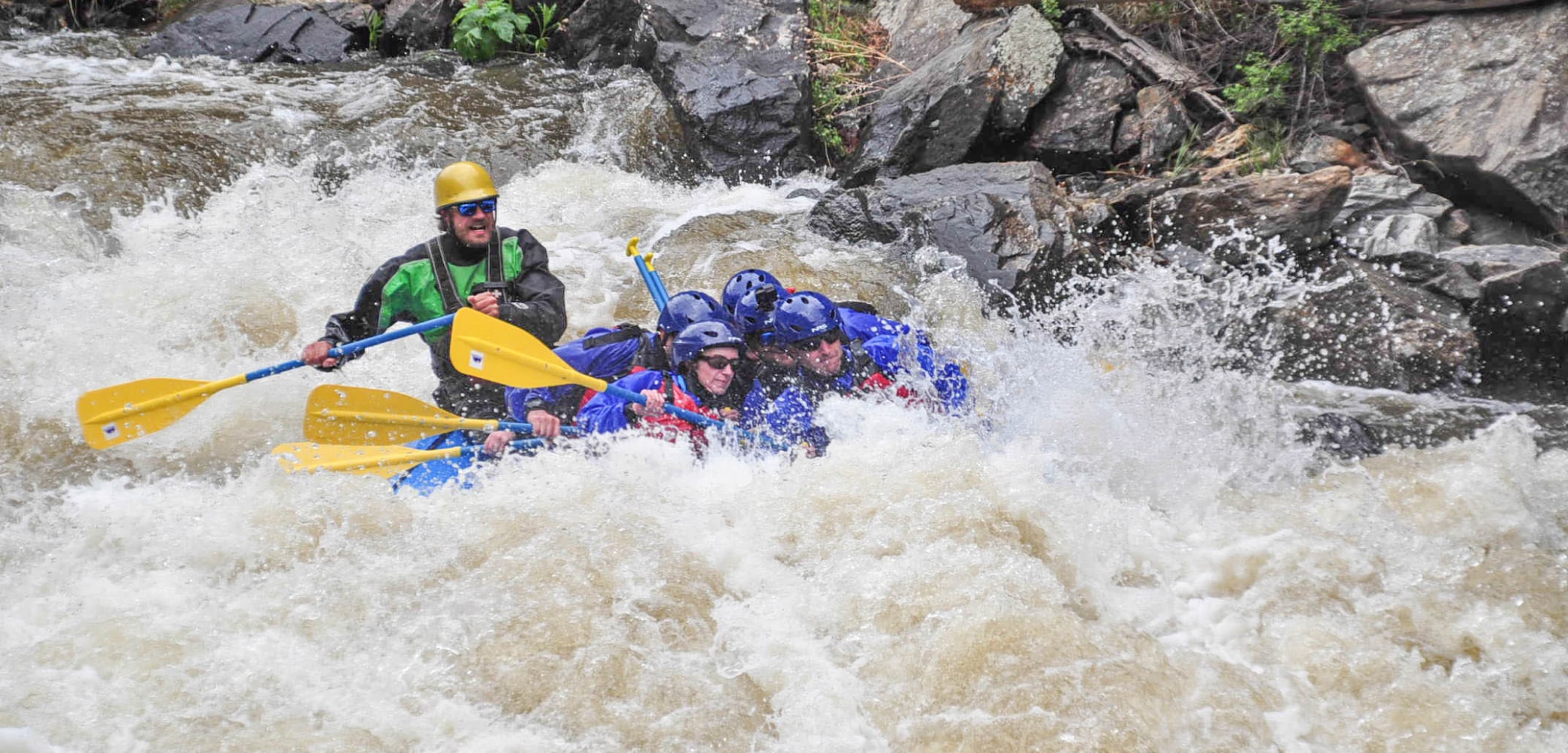
Clear Creek, a pristine tributary of the Klamath, certainly earns its name—its crystal-clear, emerald-tinted water flows through one of the most scenic whitewater canyons in a region known for beautiful rivers. Dropping from the highest reaches of California’s Siskiyou Mountains, the creek forms rapids on bedrock, sculpted boulders, and boulder bars before joining the Klamath about 100 river miles from the Pacific.
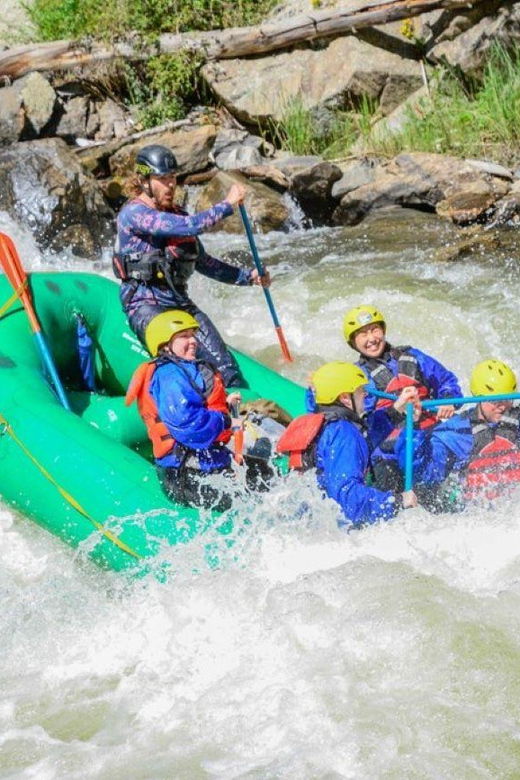
There are two commonly paddled sections: Upper Clear Creek (Class IV–V) and Lower Clear Creek (Class II–III). Boaters often link both into a 7.4-mile run. For a more relaxed trip, the lower section can be run alone or extended onto the Class II Klamath River. Upstream lies a rarely paddled wilderness section with variable difficulty.
### Upper Clear Creek (IV-V)
The three-mile upper run offers outstanding whitewater and scenery. Set in a tight canyon in the Siskiyou Wilderness, the run features greenish metasedimentary bedrock and statuesque boulders beneath a diverse mixed-conifer forest—part of one of North America’s most biodiverse regions.
A one-mile hike on the Clear Creek National Recreation Trail leads to the put-in at the footbridge over the creek.
The action begins immediately with a rapid beneath the bridge, followed by a short warm-up section before the creek bears left and drops into the main event. Two ledge-style drops mark the transition. The character is pool-drop, but the pools are short and the rapids plentiful. One or two rapids in the first couple of miles—upstream of the high bridge—are often portaged.
About two miles in, you’ll round a right-hand bend and drop into the smooth-walled gorge visible from the high bridge. This section contains some stout holes and can’t be scouted from river level, so the bridge provides your only good look beforehand.
Just downstream, Fivemile Creek enters on the left. Below that is a mandatory portage called *Egatrop*, located less than a half-mile below the bridge. The takeout is a tiny micro-eddy on the river-right cliff wall just above the drop, and the portage ends with a seal launch below an undercut, recirculating cauldron. At higher flows, stage from the river-left eddy at Fivemile Creek and send one paddler at a time. Watch for slick rock.
After a couple moderate rapids comes Cottonmouth, a must-run Class IV/V set in a vertical-walled gorge. It can’t be fully scouted, and might make your mouth dry when you see the spray from churning holes below but can't quite see the holes themselves due to the gradient of the drop. Punch holes and paddle actively all the way to the giant pool below.
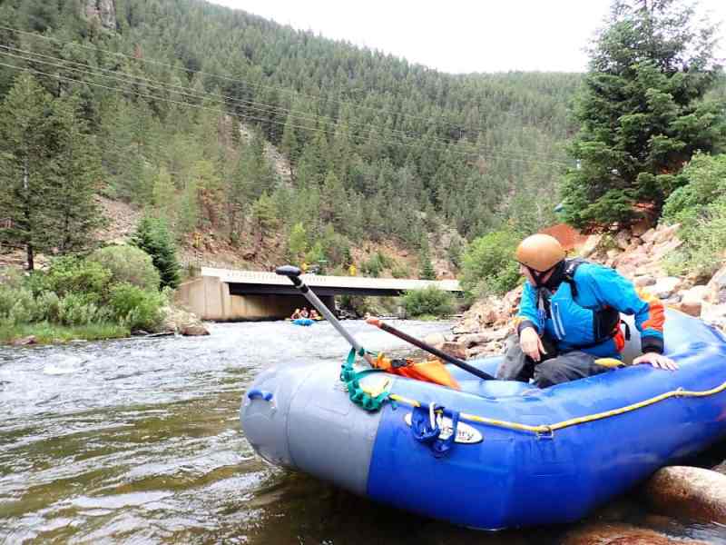
At the end of that pool is Slippery View River Access, the take-out for the upper run and put-in for the lower. Scout it in advance—it’s hard to spot from the river. As of 2024, the sign on the road was missing. Look for a straight, flat stretch of road with a shoulder that can fit a couple vehicles. It is downstream of the bridge over Fivemile Creek.
That said, the only reason to take out here is to go lap the upper run again. While lower Clear Creek is much easier, it’s arguably even more scenic, and no one has ever been bored running it. Locals' advice: paddle to the Klamath every time you run the upper.
Small increases in flow can turn this from a technical low-water run into a thumping ride with stout holes. Water quality, scenery, and rapids are superb. This is a hidden gem.
While not as intense as some California Class V runs, the creek’s remoteness and frequent wood hazards raise the stakes. Don’t underestimate it. Scout what you can on the drive in (not much is visible), and please file a trip report to help others stay informed.
### Flows & Levels
There is no gauge on Clear Creek but the adjacent drainage to the north, Indian Creek, has a USGS gauge and the two watersheds are of similar size so flows are usually considered to be the same.
Upper Clear Creek is low but boatable for hard shell kayaks at 400 cfs, a medium flow at 500-800 cfs, and gets pushy above 800. Holes are getting big by 800 cfs and it's thumpy and committing at 1,000 cfs with little margin for error. Most boaters will enjoy it best between 500 and 800 cfs.
The creek flows during winter/spring rain events and may rise quickly during warm rain-on-snow events. In good years, Clear Creek will have sustained boatable flows during snowpack runoff (April-mid June), and these can be the most glorious of days with warm temps, clear skies, and emerald water.
### Logistics
#### Getting to the put-in
#### Getting to Slippery View (Upper Take-Out / Lower Put-In)
From Highway 96 near mile marker 34, turn onto FS Road 15N32 across from Wingate Bar. After 1.6 miles, continue straight at the junction. The road climbs above the Klamath, then drops into the Clear Creek drainage.
Slippery View is six miles up 15N32. The access sign was missing in 2024. This is the take-out for the upper and the put-in for the lower. Walk the steep trail to the river so you recognize it from the water.
#### Getting to No Man’s Trailhead (Upper Put-In)
From Slippery View, continue uphill on 15N32. Cross the high bridge (a good place to scout the unportageable gorge upstream), then go 0.25 miles and turn right on FS Road 15N27. Drive one mile to No Man’s Trailhead. Hike one mile upstream to the footbridge. Put in on creek right just upstream, or cross the bridge and take the faint trail down to a boulder bar on creek left. The action starts right away.
### Combining Upper and Lower Runs
To paddle the full 7.4-mile Clear Creek run, continue past Slippery View and take out on creek left at the Highway 96 bridge. There’s a large pullout on the upriver/north side with parking, river access, and a public phone.
Some boaters continue down the Klamath River (Class II) to Ferry Point, three miles downstream, to add som ebig river boating to the trip. The access road is near mile marker 30.1 on Highway 96.
#### Bike shuttling
The three-mile-long upper run is perfectly suited to bike shuttling with a mountain or gravel bike, and the ride from Slippery View back to the No Man's Trailhead is surprisingly level and fast to ride. Bike shuttling is also fantastic for the full 7.4-mile-long run and this provides a great workout with 700 feet of climb.
### Additional Info
As with the rest of this part of Northern California, the best guidebook is The New School Guide to Northern California Whitewater by Dan Menten (2016). See pages 45-47.
There are good write-ups with photos at Darin McQuoid's site and on A Wet State. For more on the upper upper wilderness section, see Dan Thurber's post about a run in 2010.
Rapids in this Run (11)


Hazards & Portages (1)
Caution: The following locations may require scouting or portaging. Always check current conditions.
Difficulty
Class IV-V
Length
3.0 mi
Gradient
100 ft/mi
max 137
Rapids
11
1 Hazard
Access Points
Difficulty Classes
I Easy
II Novice
III Intermediate
IV Advanced
V Expert/Extreme
VI Unrunnable
Current Conditions
5-Day Forecast
Whitewater data from
American Whitewater
American Whitewater