24,753
Total Features
21,352
Rapids
855
Waterfalls
927
Playspots
1,513
Hazards
106
Portages

Choose a category to filter the map and list.

Map view

Whitewater features at a glance

Use category totals as filters, then open a marker for feature and river context.

Interactive whitewater map Loads as you reach this section.

Map Legend

Rapids
Waterfalls
Playspots
Hazards
Portages
Rivers
Directory results

Rapids and river features

Difficulty and feature badges summarize the available source record.

West Virginia 24 features
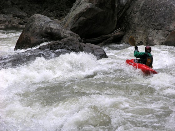
Put In - Fort Seybert (CR 3 bridge)

Put In - Fort Seybert (CR 3 bridge)

Potomac, S.Fk. of the S.Br. - 4. Fort Seybert (CR 3 bridge) to Milam (CR 7/3 bridge)
Rapid N/A
Put In - Milam bridge

Put In - Milam bridge

Potomac, S.Fk. of the S.Br. - 5. Milam bridge (CR 7/3) to the confluence of Shooks Run
Rapid N/A
Take Out

Take Out

Potomac, S.Fk. of the S.Br. - 6. Confluence of Shooks Run to Confluence of the South Branch at Moorefield
Rapid N/A
Take Out - confluence of Shooks Run

Take Out - confluence of Shooks Run

Potomac, S.Fk. of the S.Br. - 5. Milam bridge (CR 7/3) to the confluence of Shooks Run
Rapid N/A

Take Out - Milam (CR 7/3 bridge)

Potomac, S.Fk. of the S.Br. - 4. Fort Seybert (CR 3 bridge) to Milam (CR 7/3 bridge)
Rapid N/A
Put In

Put In

Pringle Run - Above Falls to Cheat River
Rapid N/A
Take Out

Take Out

Pringle Run - Above Falls to Cheat River
Rapid N/A

Dry Fork Confluence

Red Creek - 2. D4149 North Branch Bridge to confluence with the Dry Fork
Rapid N/A

Put In

Red Creek - 2. D4149 North Branch Bridge to confluence with the Dry Fork
Rapid N/A
Put In

Put In

Red Creek - 1. Red Creek Recreation Area to North Branch Bridge
Rapid N/A
Take Out

Take Out

Red Creek - 1. Red Creek Recreation Area to North Branch Bridge
Rapid N/A
Take-out - Old Siding Rd. Bridge

Take-out - Old Siding Rd. Bridge

Red Creek - 2. D4149 North Branch Bridge to confluence with the Dry Fork
Rapid N/A
Take-out - WV 32 bridge

Take-out - WV 32 bridge

Red Creek - 2. D4149 North Branch Bridge to confluence with the Dry Fork
Rapid N/A
Put In

Put In

Red Run - Ford along FS 13 road to confluence of Dry Fork
Rapid N/A
Take Out

Take Out

Red Run - Ford along FS 13 road to confluence of Dry Fork
Rapid N/A
Put In

Put In

Rich Creek - US 219 bridge upsteam of Peterstown, WV to Town of Rich Creek, VA
Rapid N/A
Take Out

Take Out

Rich Creek - US 219 bridge upsteam of Peterstown, WV to Town of Rich Creek, VA
Rapid N/A
Ledge in lower section

Ledge in lower section

Roaring Creek (Cheat River trib.) - County Rd. 3-12 to Cheat River
Waterfall III
Put In

Put In

Roaring Creek (Cheat River trib.) - County Rd. 3-12 to Cheat River
Rapid N/A
Take Out

Take Out

Roaring Creek (Cheat River trib.) - County Rd. 3-12 to Cheat River
Rapid N/A
Typical of the upper part

Typical of the upper part

Roaring Creek (Cheat River trib.) - County Rd. 3-12 to Cheat River
Hazard IV
Typical width and scenery up high

Typical width and scenery up high

Roaring Creek (Cheat River trib.) - County Rd. 3-12 to Cheat River
Rapid
Put In

Put In

Roaring Creek (Tygart Valley River tributary) - Coalton to the confluence of the Tygart Valley River above Norton
Rapid N/A
Take Out

Take Out

Roaring Creek (Tygart Valley River tributary) - Coalton to the confluence of the Tygart Valley River above Norton
Rapid N/A