Rapid
MN
A Walk in the (Dark) Woods
Save this feature with the run it belongs to.
Gauge Conditions
Runnable: ? – ? CFS
Approximate - nearest available gauge. Use as general reference only.
Data from American Whitewater & USGS
Photo
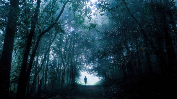
Photo courtesy of American Whitewater
Description
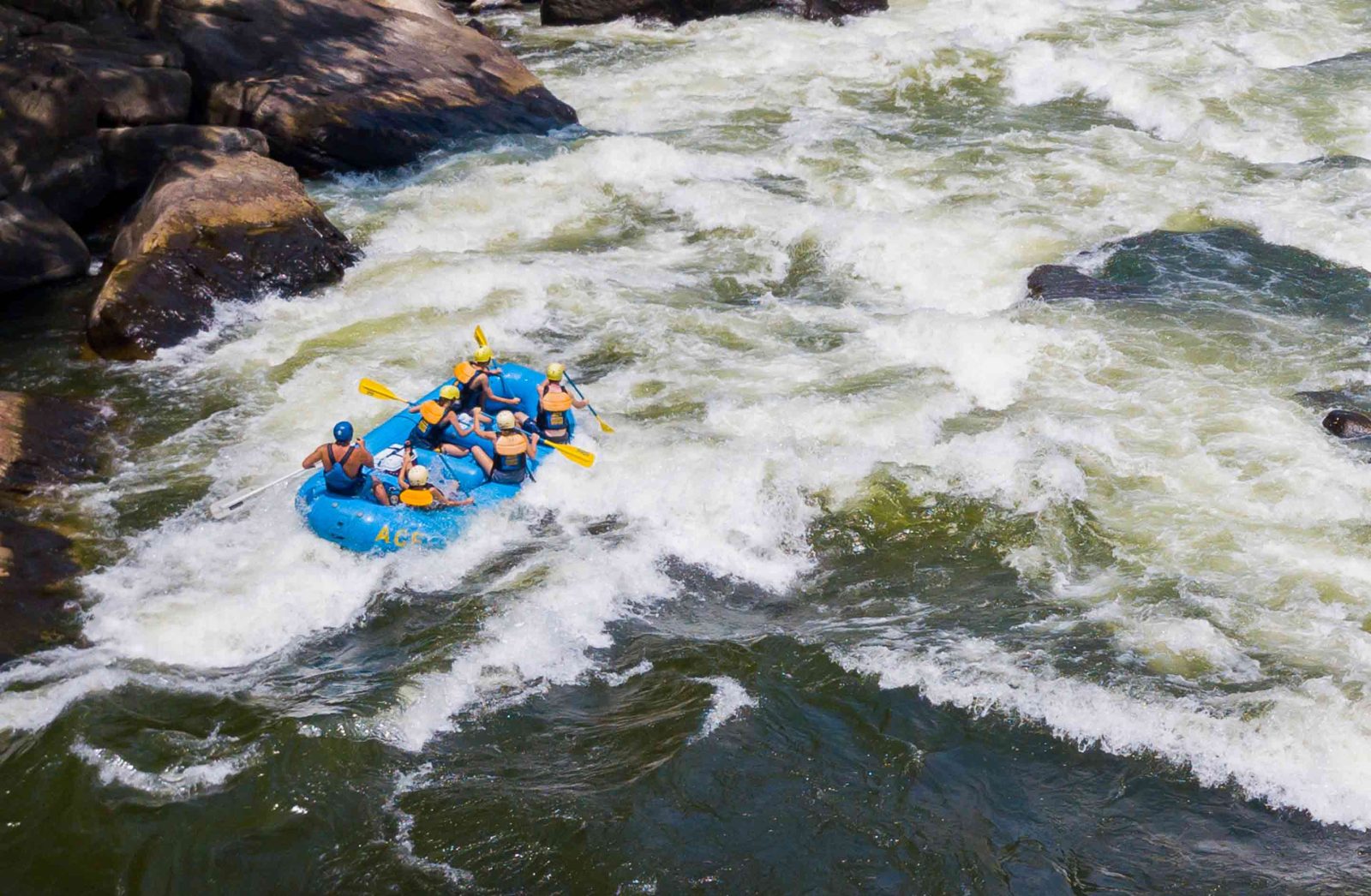
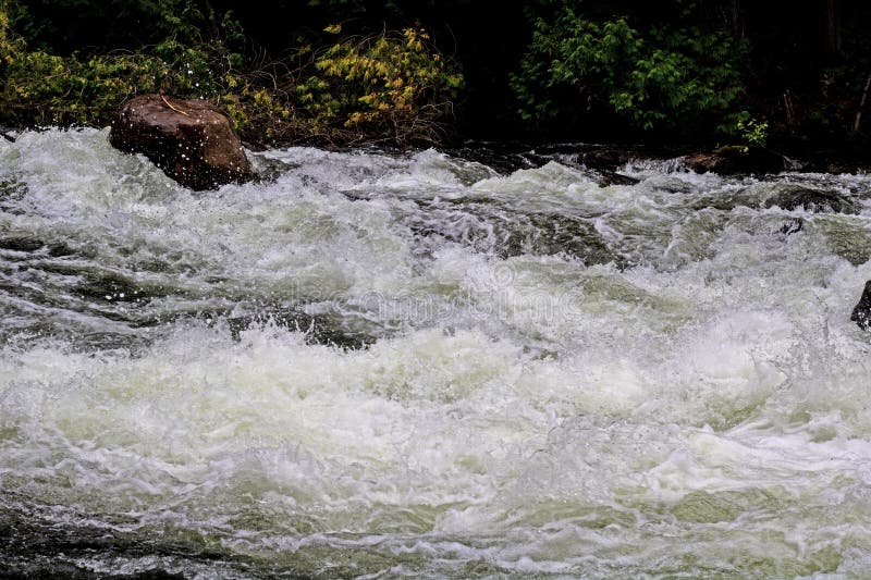
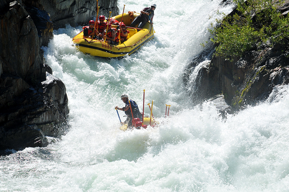
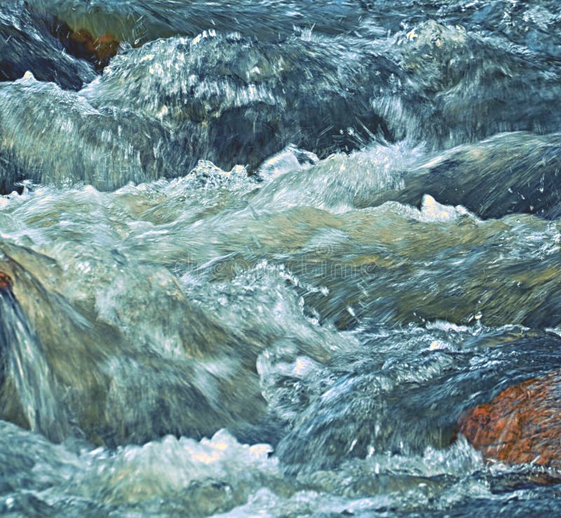
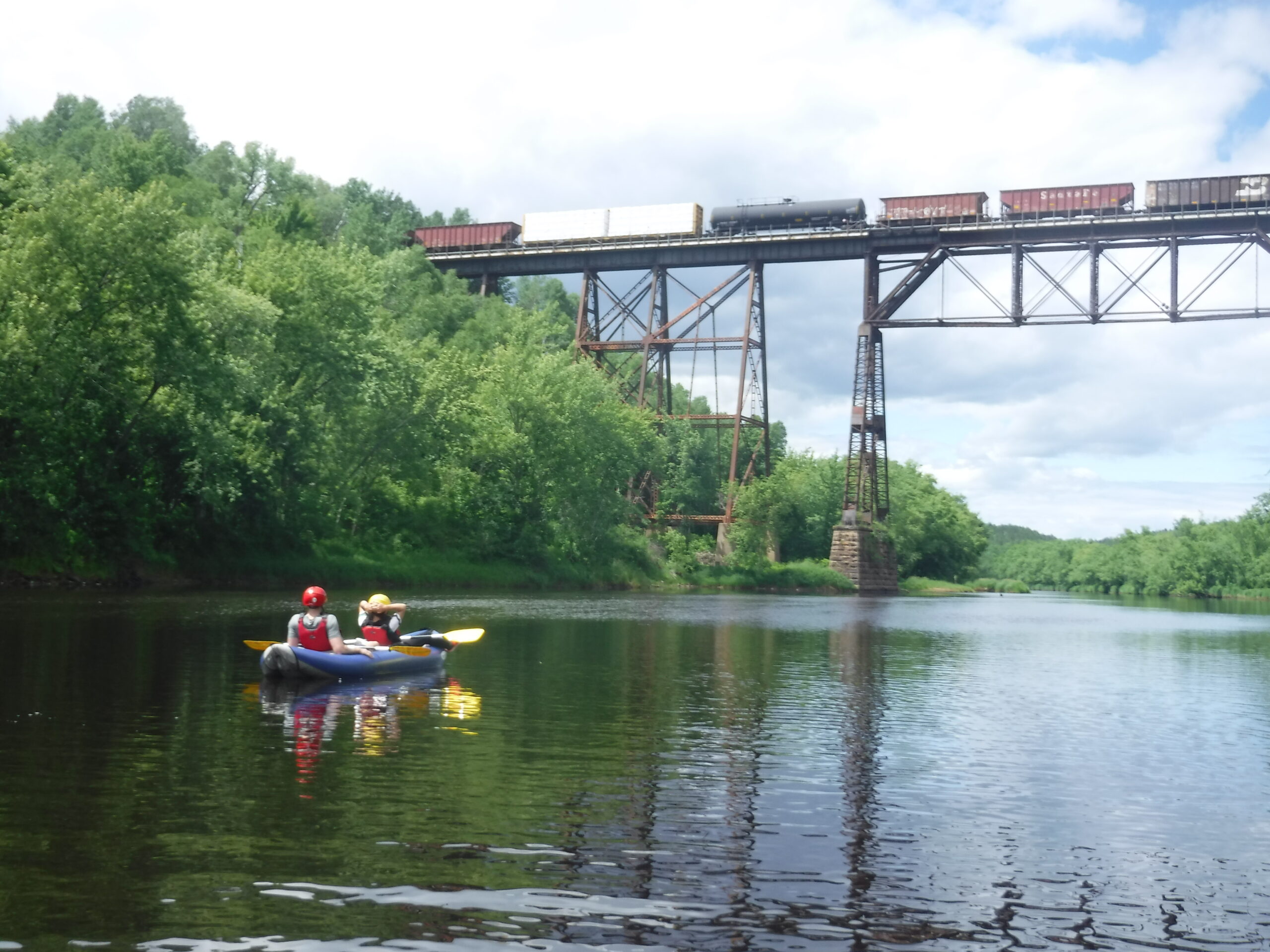
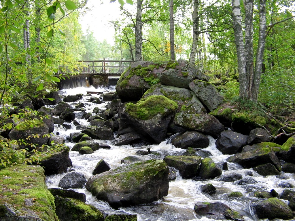
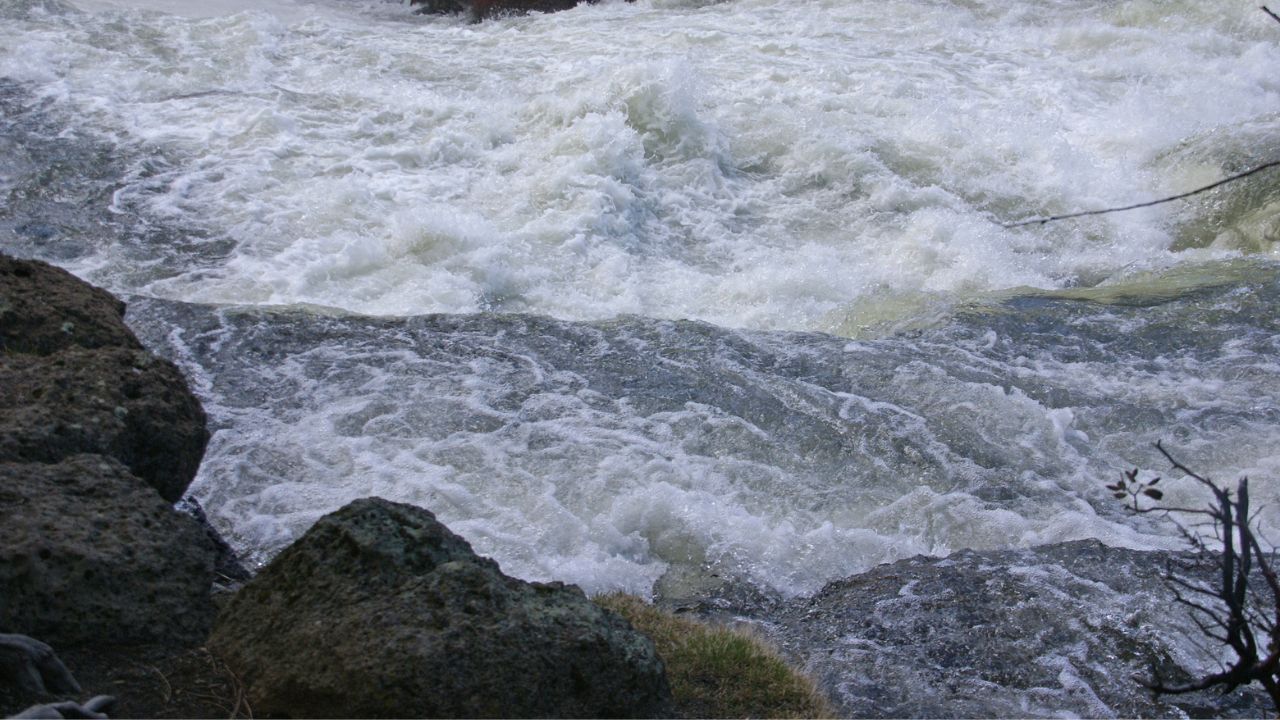
After the stretch of meanders in a wide floodplain, at this point the river enters a much more tree-lined stretch, and encounters some random bits of gradient. It appears it should be pretty easy to 'read and run' any of the minor rapids/swifts through here, but be vigilant for deadfall and snags which could block the river, making a 'walk in the woods' (portage) necessary.
Location
Interactive river map
Loads as you approach this section.
Other Rapids on This Run (15)
 Rapid
N/A
Rapid
N/A
Put In
 Rapid
N/A
Rapid
N/A
Twilight
 Rapid
N/A
Rapid
N/A
Dusk
 Rapid
N/A
Rapid
N/A
Lights On
 Rapid
N/A
Rapid
N/A
Hwy.65/Osborn Road
 Rapid
N/A
Rapid
N/A
West Knuckey Creek
 Rapid
N/A
Rapid
N/A
Dark Alley
 Rapid
N/A
Rapid
N/A
Half-mile Rips
 Rapid
N/A
Rapid
N/A
Minor ledge
 Rapid
N/A
Rapid
N/A
End of best gradient
 Rapid
N/A
Rapid
N/A
Leander Creek
 Rapid
N/A
Rapid
N/A
Take Out
 Rapid
N/A
Rapid
N/A
Take-out/Gauge Site
 Rapid
N/A
Rapid
N/A
Short Rips
 Rapid
N/A
Rapid
N/A
Final Rapids
View Full Run
Dark Lake to Carpenter Road/FR481 (7.1 or 8.3 miles)
Dark
II-III
6.4 mi
Current Conditions
5-Day Forecast
Whitewater data from
American Whitewater
American Whitewater