Rapid
MN
Take-out/Gauge Site
Save this feature with the run it belongs to.
Gauge Conditions
Runnable: ? – ? CFS
Approximate - nearest available gauge. Use as general reference only.
Data from American Whitewater & USGS
Photo
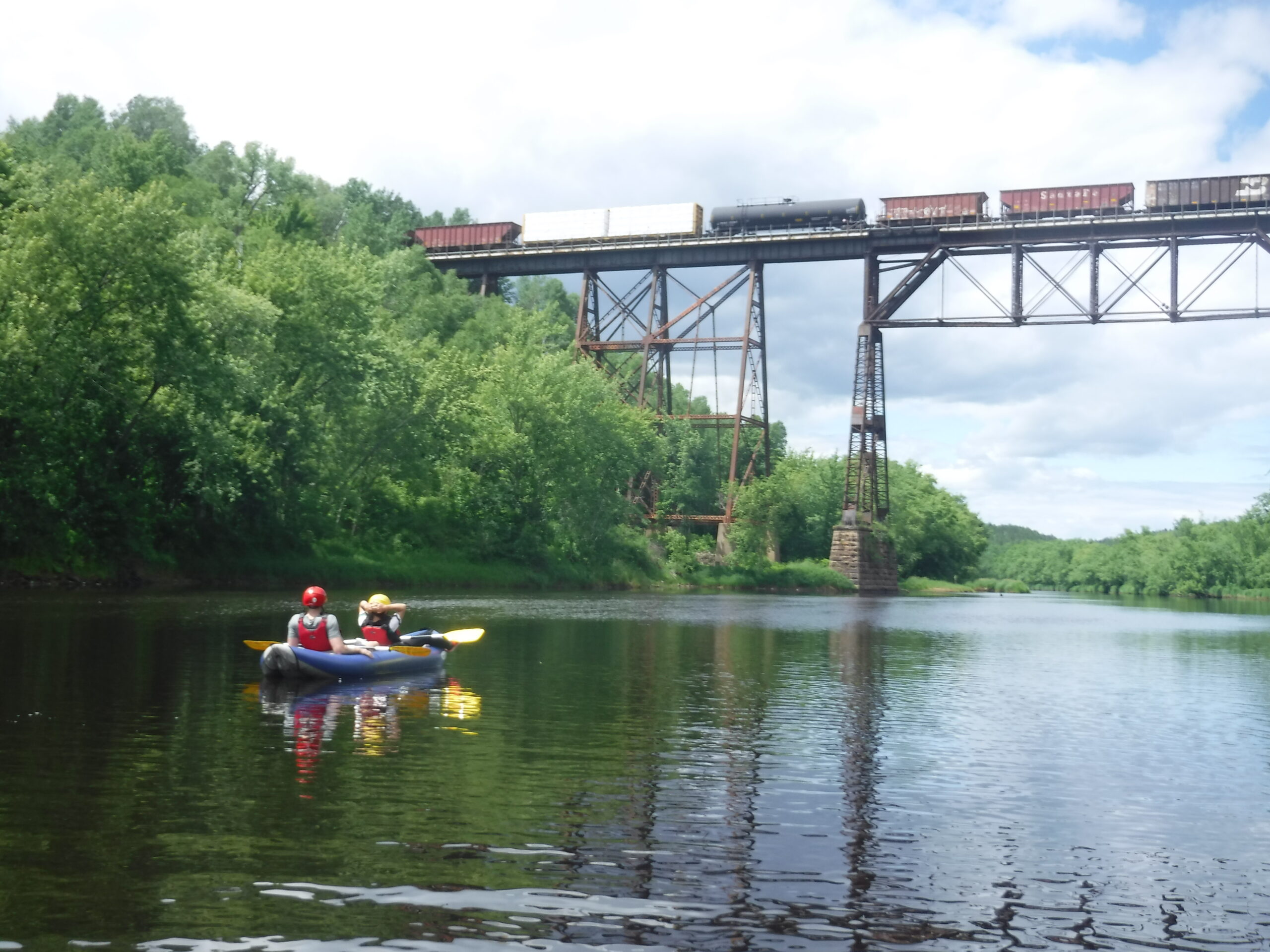
Photo courtesy of American Whitewater
Description
A former USGS gauge was sited at Carpenter Road, and listed 50.6 Sq.Mi. drainage at that point.
Location
Interactive river map
Loads as you approach this section.
Other Rapids on This Run (15)
 Rapid
N/A
Rapid
N/A
Put In
 Rapid
N/A
Rapid
N/A
Twilight
 Rapid
N/A
Rapid
N/A
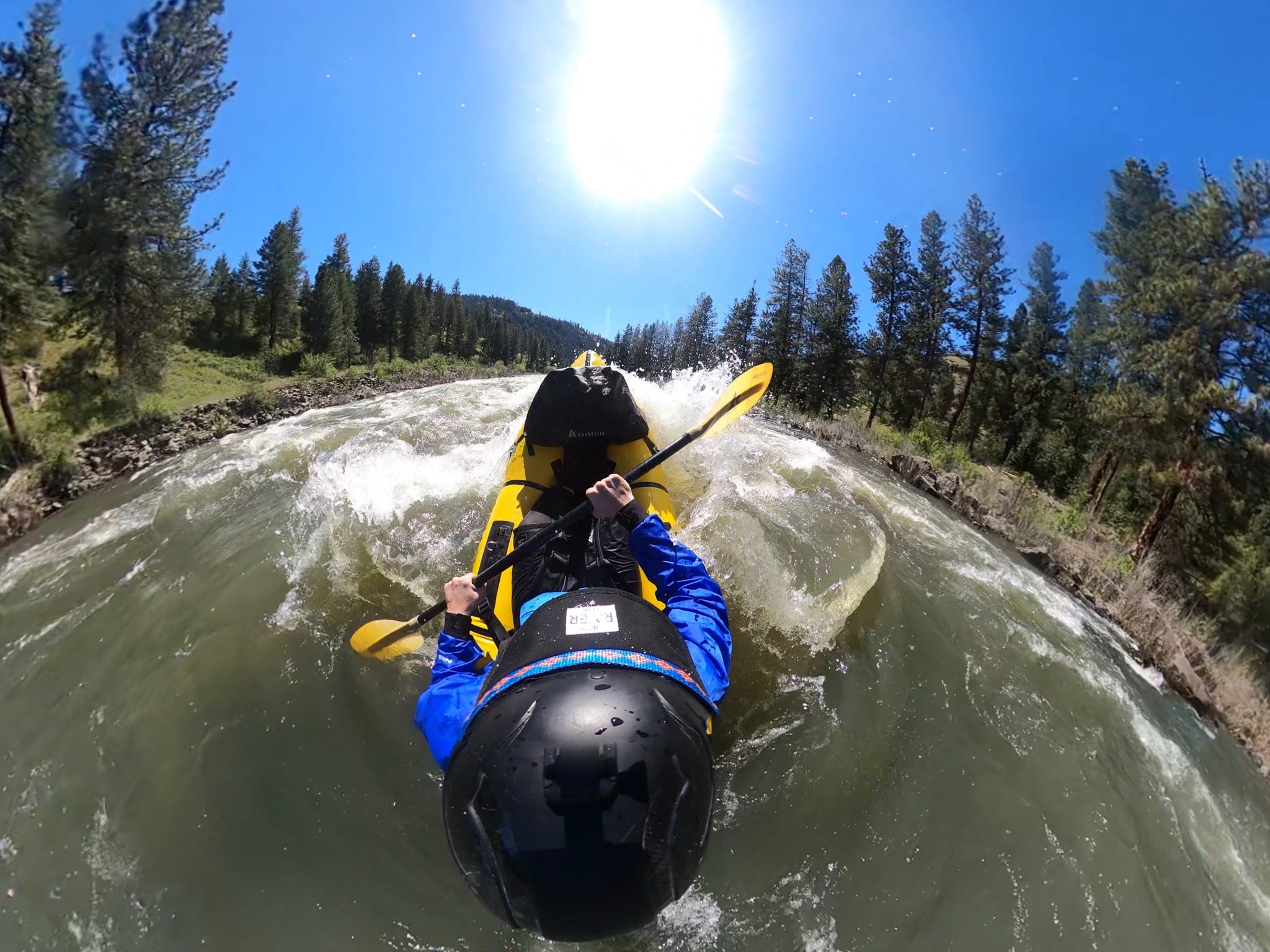
Dusk
 Rapid
N/A
Rapid
N/A
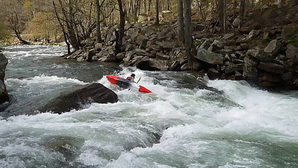
Lights On
 Rapid
N/A
Rapid
N/A
Hwy.65/Osborn Road
 Rapid
N/A
Rapid
N/A
West Knuckey Creek
 Rapid
N/A
Rapid
N/A
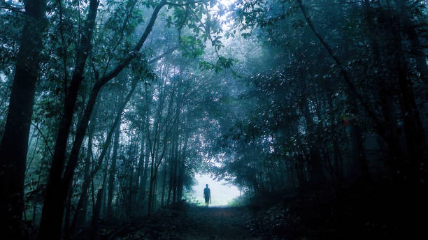
A Walk in the (Dark) Woods
 Rapid
N/A
Rapid
N/A
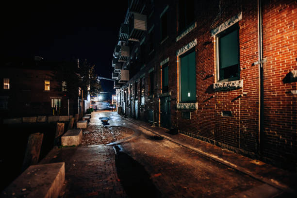
Dark Alley
 Rapid
N/A
Rapid
N/A
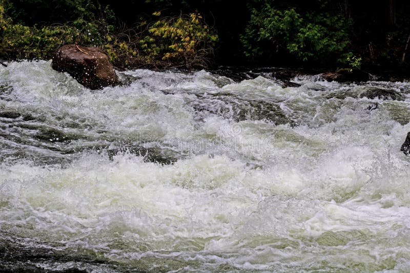
Half-mile Rips
 Rapid
N/A
Rapid
N/A
Minor ledge
 Rapid
N/A
Rapid
N/A
End of best gradient
 Rapid
N/A
Rapid
N/A
Leander Creek
 Rapid
N/A
Rapid
N/A
Take Out
 Rapid
N/A
Rapid
N/A
Short Rips
 Rapid
N/A
Rapid
N/A
Final Rapids
View Full Run
Dark Lake to Carpenter Road/FR481 (7.1 or 8.3 miles)
Dark
II-III
6.4 mi
Current Conditions
5-Day Forecast
Whitewater data from
American Whitewater
American Whitewater