Airport
Save this feature with the run it belongs to.
Gauge Conditions
Runnable: ? – ? CFS
Approximate - nearest available gauge. Use as general reference only.
Data from American Whitewater & USGS
Photo
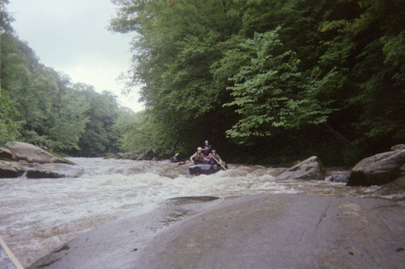
Photo courtesy of American Whitewater
Description
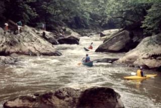
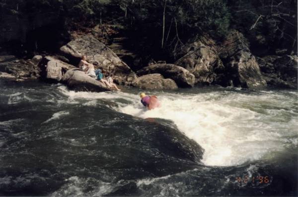
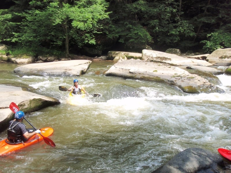
This deep hole in a narrow space between two large boulders is a great playspot. Old-schoolers get enders here; modern playboaters use the hole for their own devices. Try to roll up quickly, as there's a sloping rock on river left that you can easily get swept up against.
Location
Interactive river map
Loads as you approach this section.
View Full Run
1. Kennedy Mill (Frew Mill Rd., SR 1012) to Eckert's Bridge
Slippery Rock Creek
II-III
4.1 mi
Current Conditions
5-Day Forecast
Whitewater data from
American Whitewater
American Whitewater