Frew Mill (aka Kennedy Mill)
Save this feature with the run it belongs to.
Gauge Conditions
Runnable: ? – ? CFS
Approximate - nearest available gauge. Use as general reference only.
Data from American Whitewater & USGS
Photo
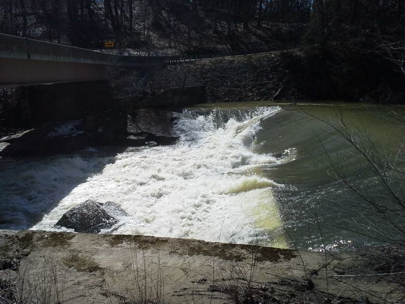
Photo courtesy of American Whitewater
Description
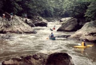
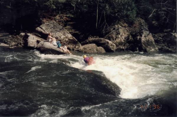
For the extra flatwater, if you put in here, you get a spanky slopy drop to begin your river trip. The drop under the bridge is pretty scrapy at levels below about a foot on the stick gauge. It's a cool drop at higher levels, but watch out for the eddy on river left--you can get shoved into a rock and woody debris and stuff.
Lat/longitude coords for putins, takeout, and rapids are verified by GPS.
Location
Interactive river map
Loads as you approach this section.
View Full Run
1. Kennedy Mill (Frew Mill Rd., SR 1012) to Eckert's Bridge
Slippery Rock Creek
II-III
4.1 mi
Hazard — Exercise extreme caution in this area.
Current Conditions
5-Day Forecast
Whitewater data from
American Whitewater
American Whitewater