Rapid
WI
Alt.Put-in#2: State Line Rd
Save this feature with the run it belongs to.
Gauge Conditions
Runnable: ? – ? CFS
Approximate - nearest available gauge. Use as general reference only.
Data from American Whitewater & USGS
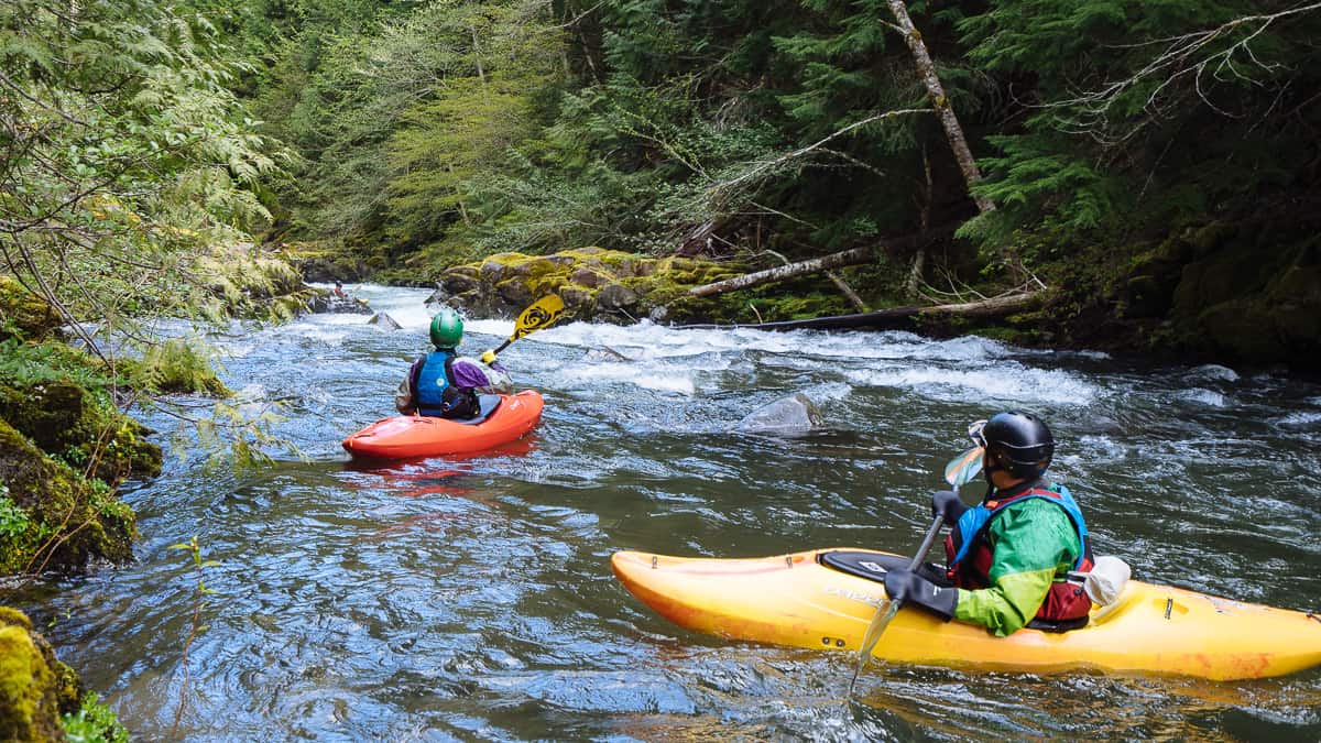
Photo
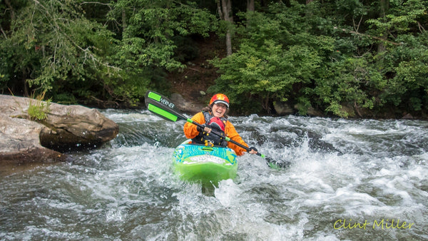
Photo courtesy of American Whitewater
Description
This put-in provides access below the Radigan Dam, with potential for varied water levels and flow characteristics depending on dam releases. Paddlers should carefully scout entry points and be aware of potential hazards related to dam infrastructure and potential debris or hydraulic features in the immediate downstream section. Local knowledge of water conditions and potential fluctuations is recommended for safe navigation.
Location

View Full Run
Radigan dam to Markville (MN) (5.3, 10.3 or 13.3 miles)
Upper Tamarack
I-II(III)
14.3 mi
Current Conditions
5-Day Forecast
Whitewater data from
American Whitewater
American Whitewater