Take-out
WI
Take Out: Markville Rd
Save this feature with the run it belongs to.
Gauge Conditions
Runnable: ? – ? CFS
Approximate - nearest available gauge. Use as general reference only.
Data from American Whitewater & USGS
Photo
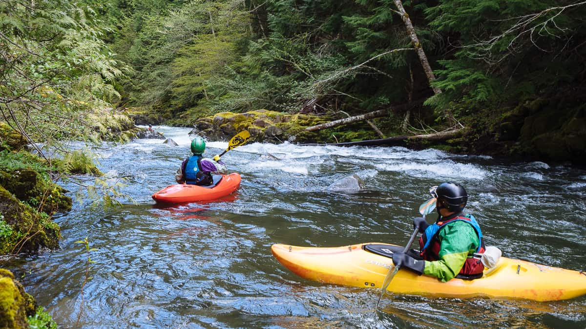
Photo courtesy of American Whitewater
Description
Take Out rapid at Markville Road offers a complex navigational challenge with multiple braided channels and potential submerged debris from the nearby Radigan dam. Paddlers should scout carefully for shifting hydraulics and rock gardens, particularly during lower water levels when route-finding becomes critical. While difficulty varies with flow, careful line selection and precise maneuvering are essential to safely negotiate this section of the Upper Tamarack.
Location
View Full Run
Radigan dam to Markville (MN) (5.3, 10.3 or 13.3 miles)
Upper Tamarack
I-II(III)
14.3 mi
Current Conditions
5-Day Forecast
Whitewater data from
American Whitewater
American Whitewater