How's Your
River
×
Explore
Explore Map
Water Bodies
Gauges
Access Sites
Tidal Stations
Whitewater
Pricing
Login
Sign Up
Hazard Warning:
Hazard information may be user-submitted and unverified. Conditions change frequently. Always scout rapids and obstacles yourself.
Whitewater
Oregon
Chetco - 2) Craggie Creek to South Fork (Chetco Gorge)
Alternate Take-Out
Rapid
OR
Alternate Take-Out
Chetco - 2) Craggie Creek to South Fork (Chetco Gorge) (OR)
Monitor this Rapid
Water Body
This Run
Map
Other Rapids
Gauge
Weather
Directions
Gauge Conditions
Chetco River near Brookings, OR
Downstream
Primary
Runnable: 500.0 – 9,000.0 CFS
Data from
American Whitewater
&
USGS
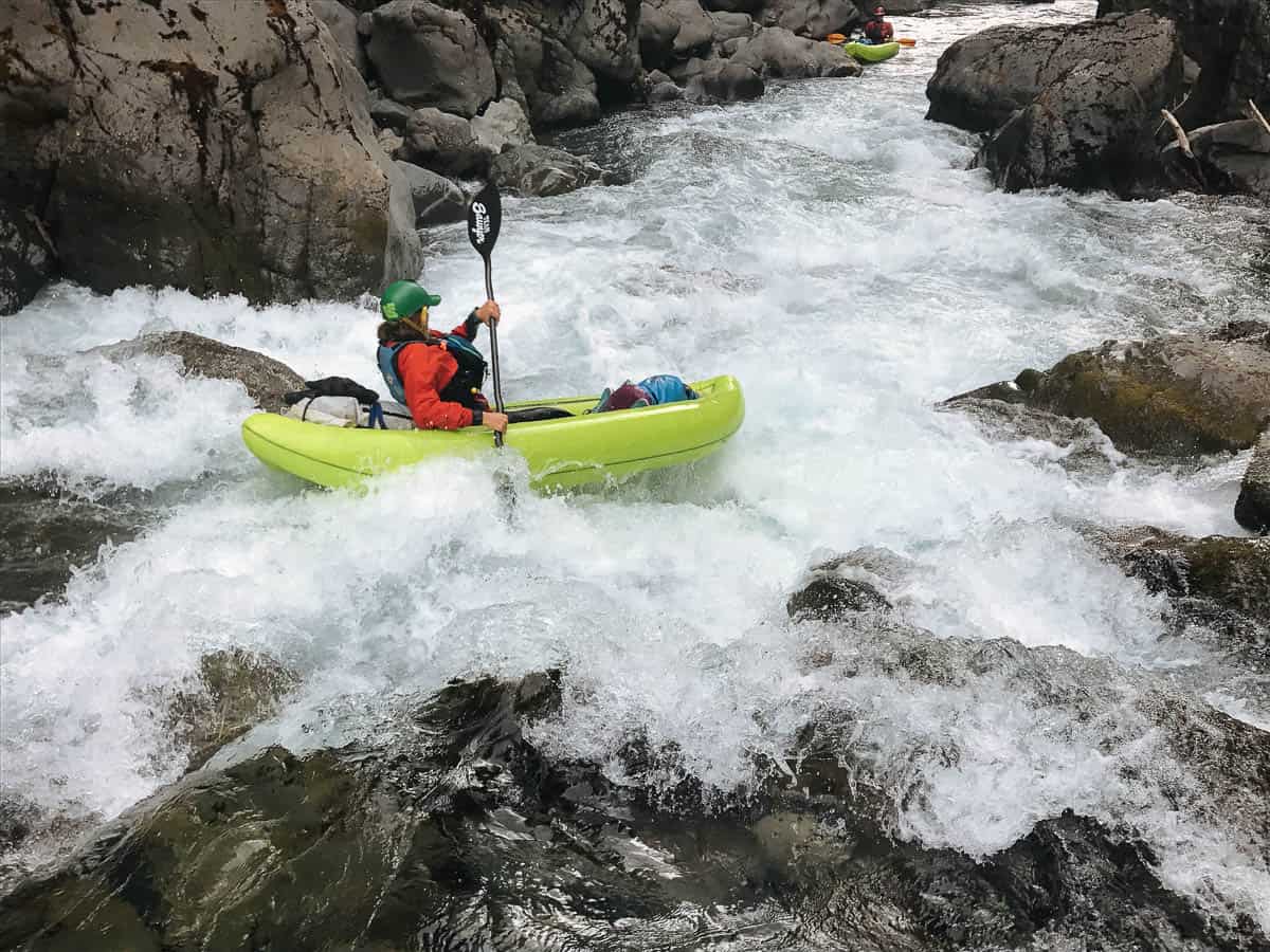
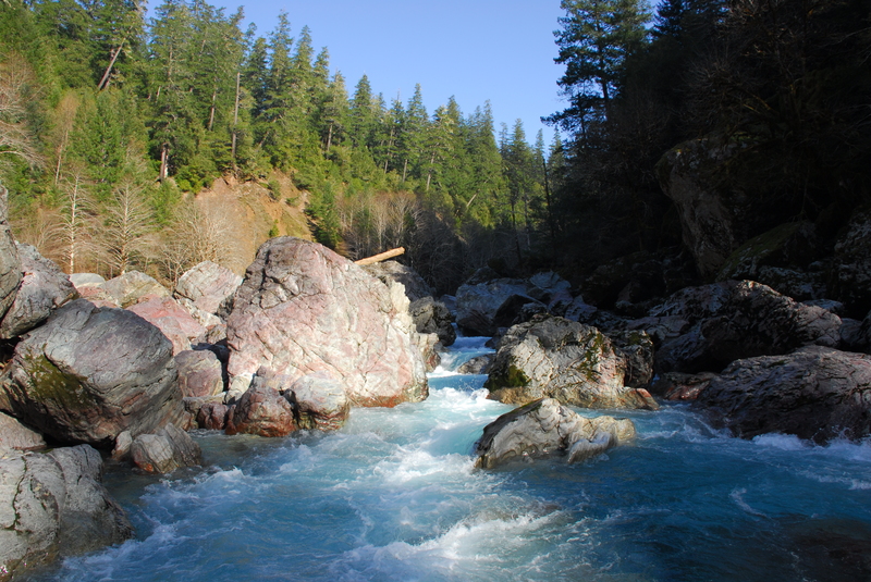
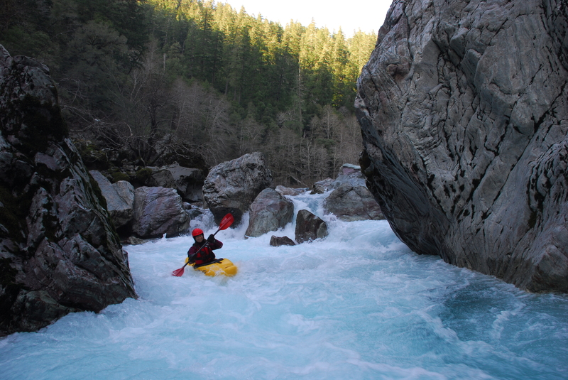
Photo
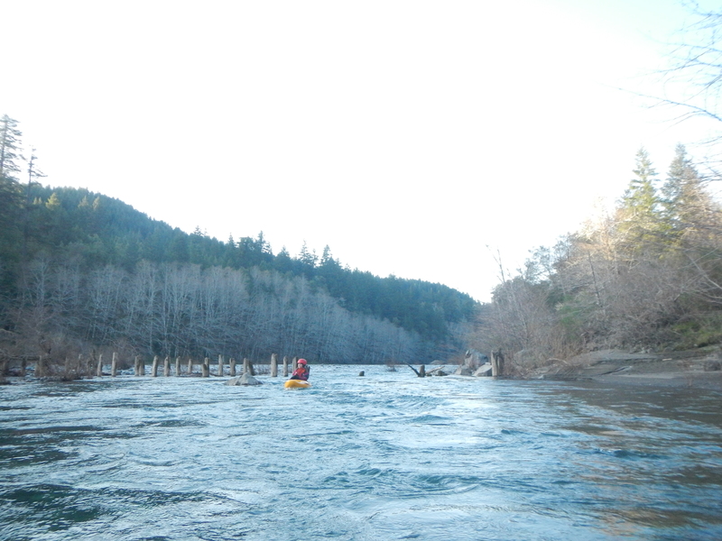
Photo courtesy of
American Whitewater
Description
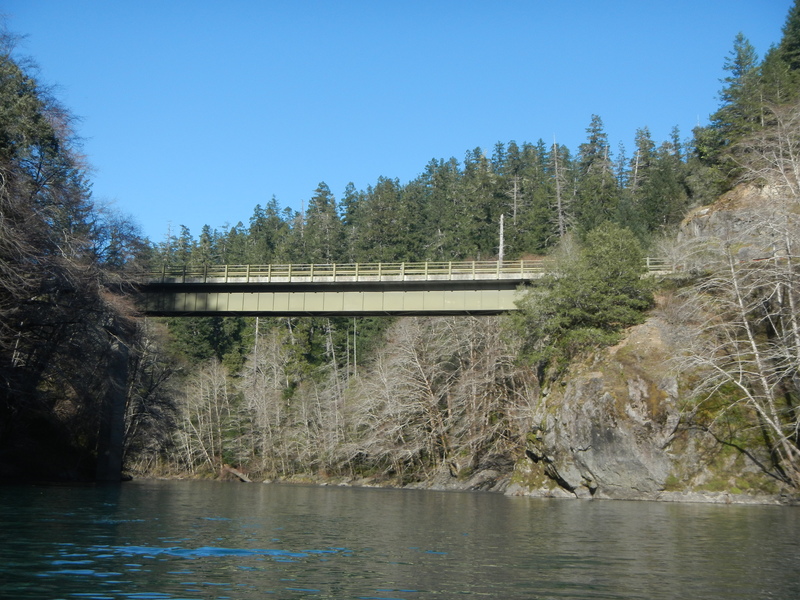
Alternate access at the old bridge site.
Location
Radar
Counties
Cell
Verizon
AT&T
T-Mobile
Dark
Satellite
Terrain
Other Rapids on This Run (5)
Rapid
N/A
Put In
0.0 mi
Rapid
N/A
Steel Bridge
5.1 mi
Rapid
V
Candy Cane
6.0 mi
Rapid
V
Conehead
6.1 mi
Rapid
N/A
Take Out
9.3 mi
Type
Rapid
Difficulty
Class N/A
Mile Marker
7.8 mi
Directions
Navigate
View Full Run
2) Craggie Creek to South Fork (Chetco Gorge)
Chetco
III-IV(V)
10.2 mi
Current Conditions
5-Day Forecast
Whitewater data from
American Whitewater
Alternate Take-Out