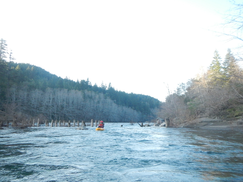
Conehead
Save this feature with the run it belongs to.
Gauge Conditions
Data from American Whitewater & USGS
Photo
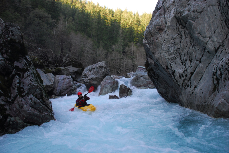
Photo courtesy of American Whitewater
Description
Tricky lead in rapid to navigate around the massive Conehead Rock that sits at the bottom of this drop.
Location
Other Rapids on This Run (5)

View Full Run
2) Craggie Creek to South Fork (Chetco Gorge)
Chetco
III-IV(V)
10.2 mi
Current Conditions
5-Day Forecast
Whitewater data from
American Whitewater
American Whitewater