Alternate take-out
Save this feature with the run it belongs to.
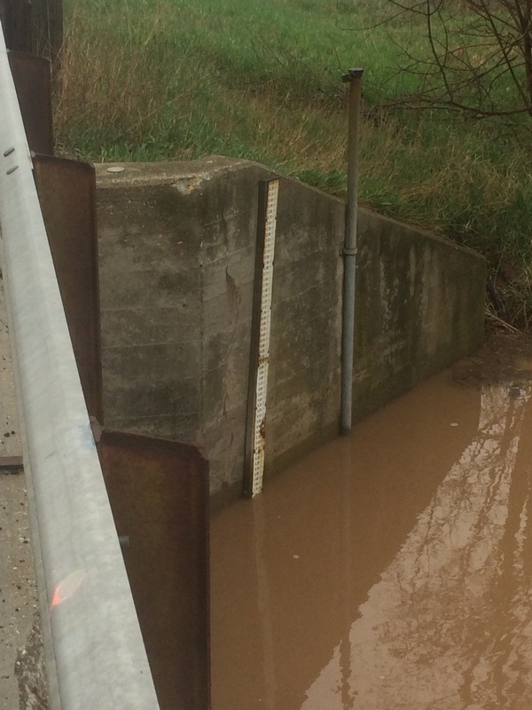
Gauge Conditions
Likely less than 150 cfs; Almost certainly too low for reasonable whitewater boating.
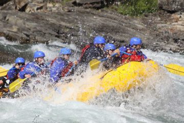
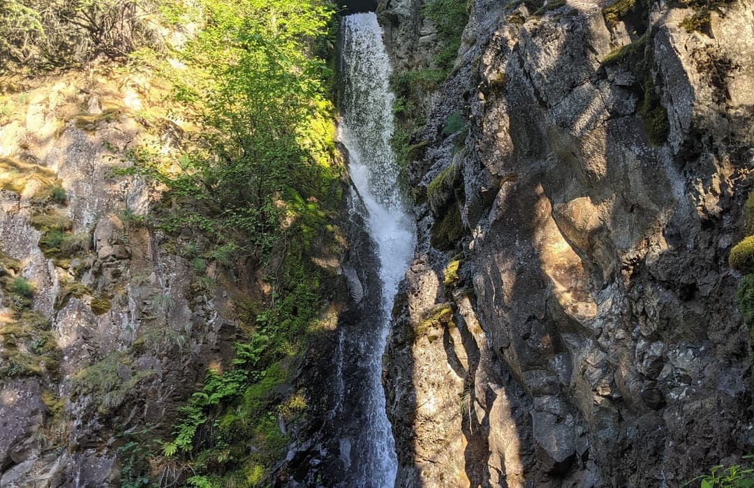
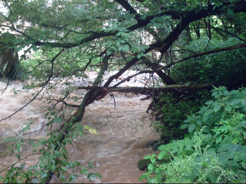
Photo
Description
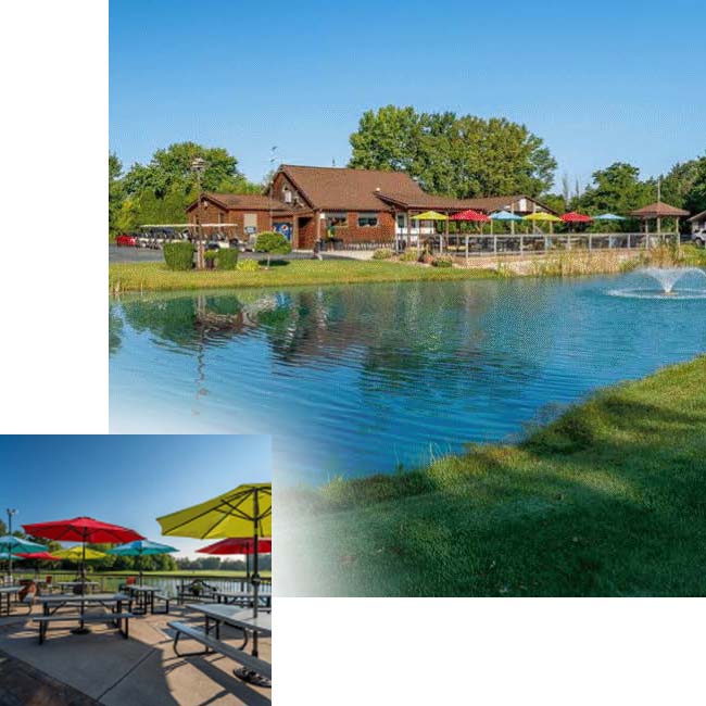
It is possible to shorten the trip by taking-out at the end of Mayline Road, which dead-ends near the creek on river right. However, to do so means hiking about 240 yards up a somewhat steep slope on a gravel double-track. The land is all privately owned, so permission to trespass would need to be secured. And, you would probably need to hike down to the river (after obtaining permission, as you set a shuttle vehicle here) to be able to recognize this alternative takeout from the river, since it may not otherwise be obvious from the creek. (It should come very shortly after a decent side-creek enters from the right. And, if you get to the golf course, you've gone about a quarter-mile too far.)
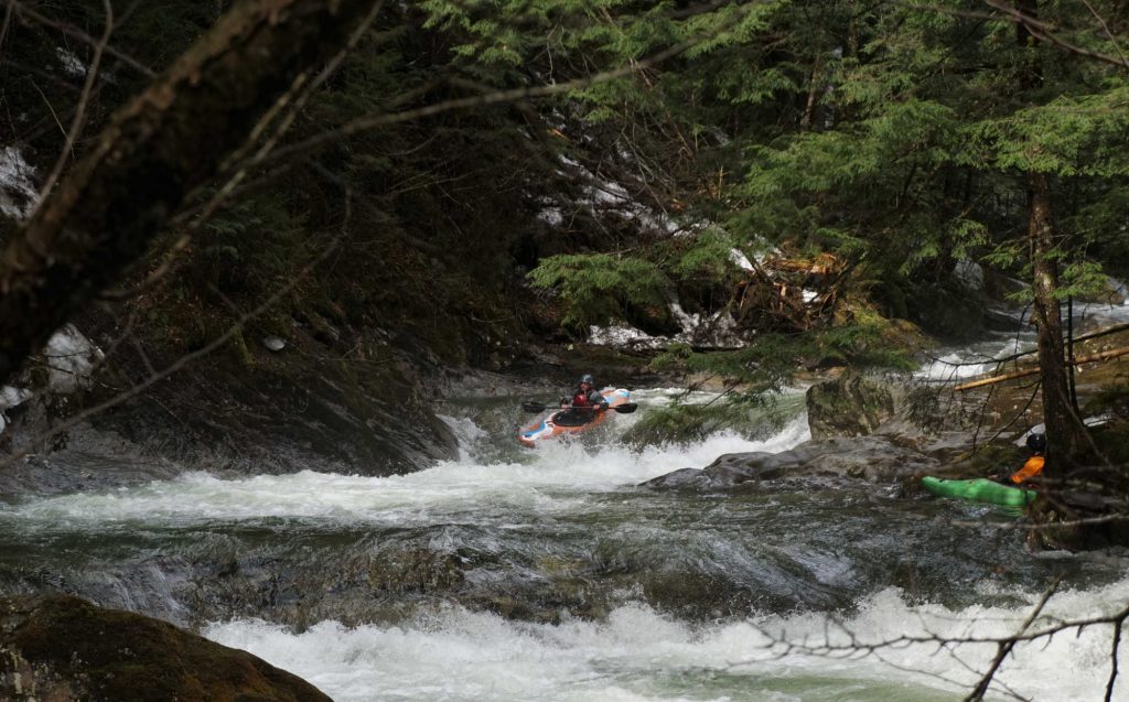
When there is adequate flow to run the creek, the remaining ~1.8 miles (to the normal, listed take-out) will be swift. The float through the golf course is interesting and scenic, with no 'too-low' bridges to worry about (until/unless boating at flows higher than recommended -- above 9.5-10' on the Bower Creek gauge at the road above the put-in). The creek comes immediately adjacent to a side-road at the listed take-out for very convenient access on a public road right-of-way, so all-in-all, just as well to use that take-out.
Location
Other Rapids on This Run (12)
Current Conditions
5-Day Forecast
American Whitewater