Rapid
WI
Alternate take-out
Save this feature with the run it belongs to.
Gauge Conditions
Runnable: ? – ? CFS
Approximate - nearest available gauge. Use as general reference only.
Data from American Whitewater & USGS
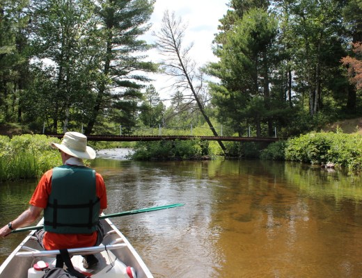
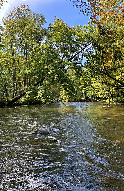
Photo
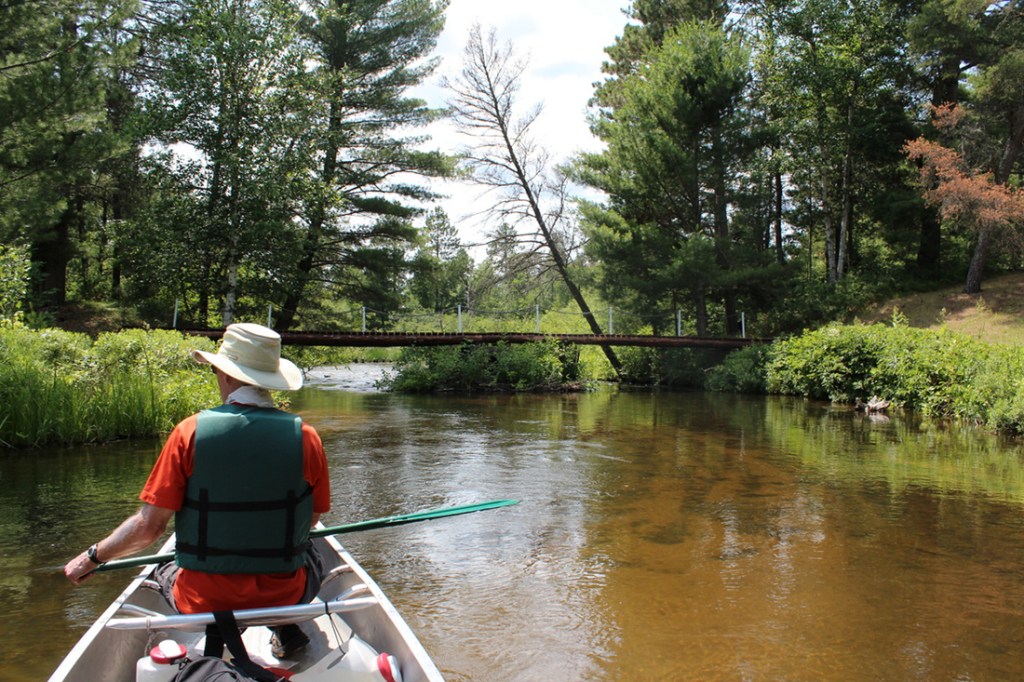
Photo courtesy of American Whitewater
Description
The Alternate take-out rapid on the Eau Claire River presents a navigational challenge with potential submerged obstacles and variable water levels. Paddlers should carefully scout the approach and be prepared for potential shallow areas or hidden rocks that could impact boat control and line selection. Local knowledge and current river conditions are crucial for safe passage through this section.
Location
Other Rapids on This Run (13)
 Rapid
N/A
Rapid
N/A
Put In
 Rapid
N/A
Rapid
N/A
Drainage: ~37 sq.mi.
Rapid
N/A
minor riffles?
 Rapid
N/A
Rapid
N/A
McCumber Road
 Rapid
N/A
Rapid
N/A
minor shoals/riffles?
 Rapid
N/A
Rapid
N/A
Shoals? Rips?
 Rapid
N/A
Rapid
N/A
S. Lidberg Bridge Road
 Rapid
N/A
Rapid
N/A
S.Lawler Bridge Road
 Rapid
N/A
Rapid
N/A
Islands/Braiding
 Playspot
N/A
Playspot
N/A
State Camp Bridge (Gordon Correctional Center)
 Rapid
N/A
Rapid
N/A
riffles? rips? Rapids?
 Rapid
N/A
Rapid
N/A
USGS sampling site: 140 sq.mi.
 Playspot
N/A
Playspot
N/A
Former Dam Site
View Full Run
Johnson Rd. to former dam site (1.75-13.5 miles)
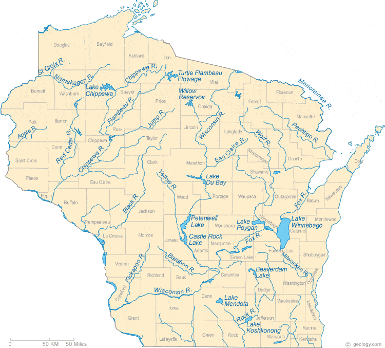
Eau Claire (St.Croix trib.)
I-II
12.6 mi
Current Conditions
5-Day Forecast
Whitewater data from
American Whitewater
American Whitewater