Rapid
WI
Drainage: ~37 sq.mi.
Save this feature with the run it belongs to.
Gauge Conditions
Runnable: ? – ? CFS
Approximate - nearest available gauge. Use as general reference only.
Data from American Whitewater & USGS
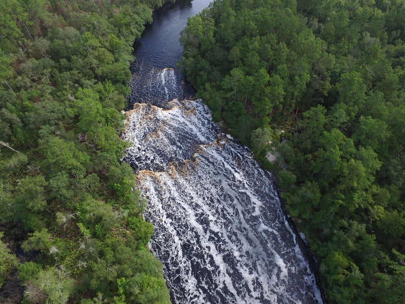
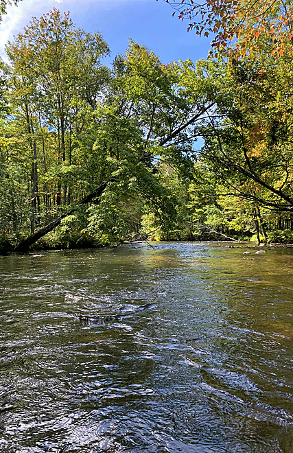
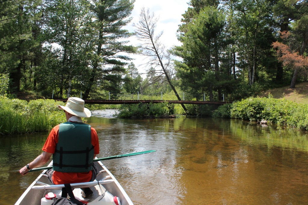
Photo
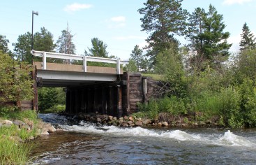
Photo courtesy of American Whitewater
Description
Drainage at the listed put-in is about 37 square miles (as calculated by USGS StreamStats beta software). By the listed take-out, it has increased to 140 sq.mi. (an increase of 278%, that is, take-out area is 3.78 times put-in area, so flows could change comparably, top to bottom)!
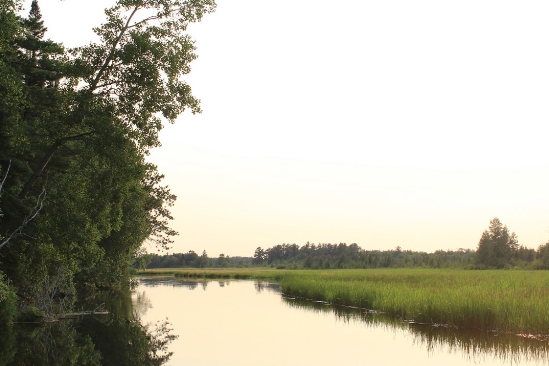
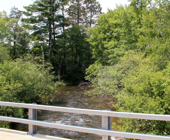
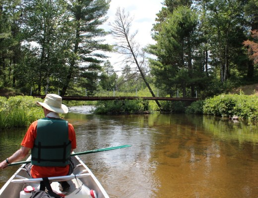
Location
Other Rapids on This Run (13)
 Rapid
N/A
Rapid
N/A
Put In
Rapid
N/A
minor riffles?
 Rapid
N/A
Rapid
N/A
McCumber Road
 Rapid
N/A
Rapid
N/A
minor shoals/riffles?
 Rapid
N/A
Rapid
N/A
Shoals? Rips?
 Rapid
N/A
Rapid
N/A
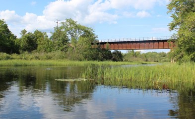
S. Lidberg Bridge Road
 Rapid
N/A
Rapid
N/A
S.Lawler Bridge Road
 Rapid
N/A
Rapid
N/A
Islands/Braiding
 Playspot
N/A
Playspot
N/A
State Camp Bridge (Gordon Correctional Center)
 Rapid
N/A
Rapid
N/A
riffles? rips? Rapids?
 Rapid
N/A
Rapid
N/A
USGS sampling site: 140 sq.mi.
 Playspot
N/A
Playspot
N/A
Former Dam Site
 Rapid
N/A
Rapid
N/A
Alternate take-out
View Full Run
Johnson Rd. to former dam site (1.75-13.5 miles)
Eau Claire (St.Croix trib.)
I-II
12.6 mi
Current Conditions
5-Day Forecast
Whitewater data from
American Whitewater
American Whitewater