Another View of Crossing the Dam
Save this feature with the run it belongs to.
No sufficiently local live gauge linked. 1 automated match was excluded because the closest is 140.6 miles away. Use the parent run and local sources before making a trip decision.
Photo
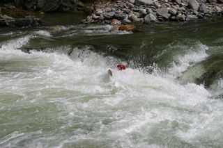
Photo courtesy of American Whitewater
Description
Although the Dam is clearly visible from the center of Williamsville, please don't attempt to park here or access the river here - it will annoy the landowners.
Location
Interactive river map
Loads as you approach this section.
Other Rapids on This Run (11)
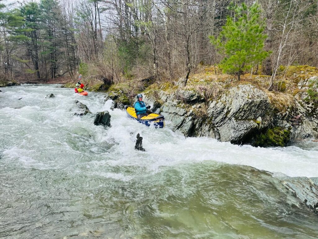 Rapid
N/A
Rapid
N/A
Put In
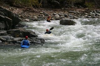 Playspot
III+
Playspot
III+
Rapid Above the The Dam in Williamsville
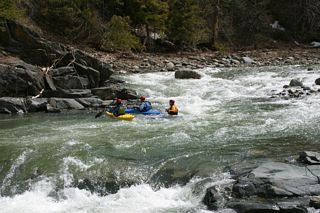 Playspot
III+
Playspot
III+
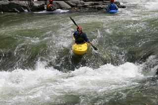
View of Dam and the Rapid Above It
 Playspot
III+
Playspot
III+
Running the Dam
Rapid
IV
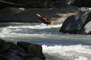
Double Drop
 Rapid
IV
Rapid
IV
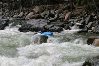
Triple Drop - Top
 Playspot
IV
Playspot
IV
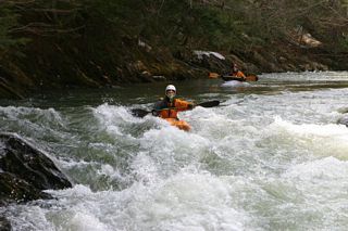
Triple Drop - Sneak Route Left
 Rapid
III
Rapid
III
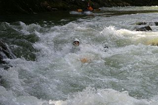
The Chute - Top
 Rapid
III
Rapid
III
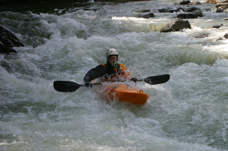
The Chute
 Rapid
III
Rapid
III
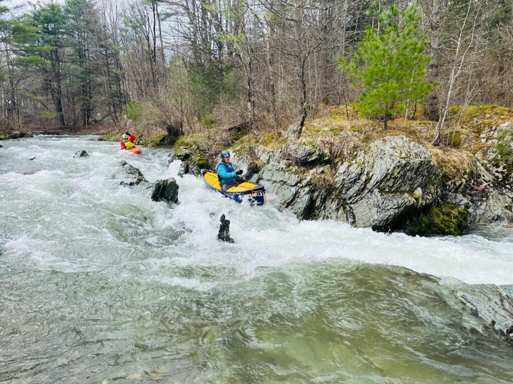
The Chute - Bottom
 Rapid
N/A
Rapid
N/A
Take Out
View Full Run
2.) Lower
Rock
III-IV
4.5 mi
Current Conditions
5-Day Forecast
Whitewater data from
American Whitewater
American Whitewater