Take-out
VT
Take Out
Save this feature with the run it belongs to.
No sufficiently local live gauge linked. 1 automated match was excluded because the closest is 140.6 miles away. Use the parent run and local sources before making a trip decision.
Photo
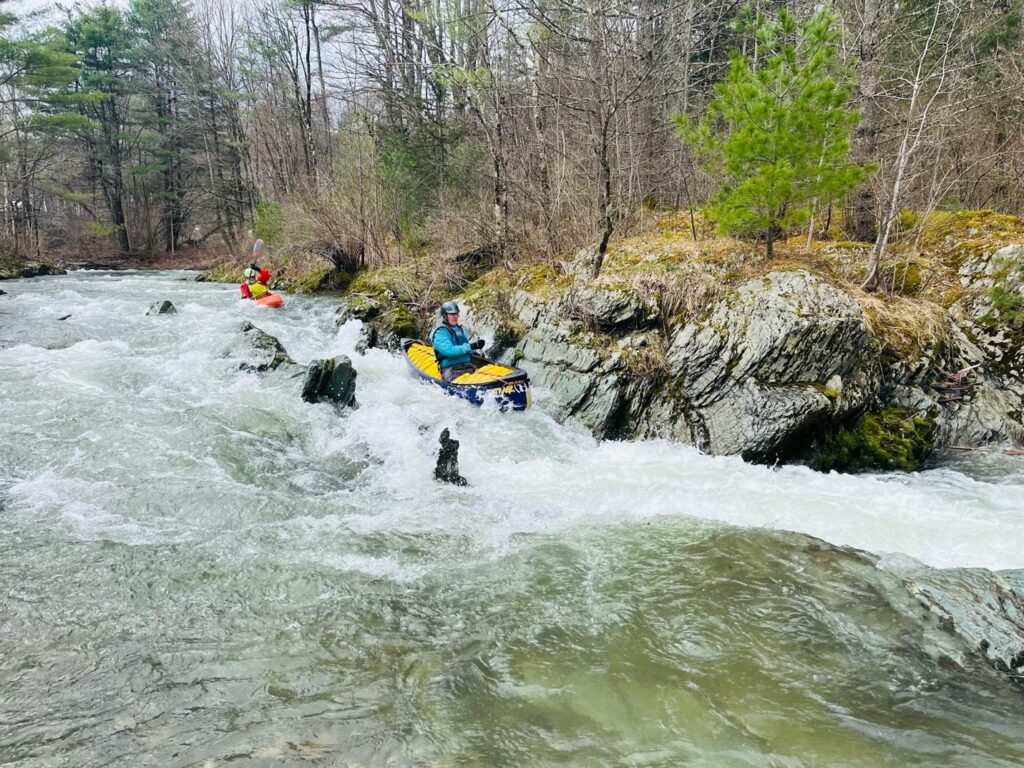
Photo courtesy of American Whitewater
Description
Take Out rapid on the Rock River presents a straightforward passage with minimal technical challenges. Paddlers should be aware of potential rock obstacles near the river's exit point, which may require precise maneuvering depending on water levels. While not a highly technical rapid, careful navigation is still recommended to ensure a clean takeout without unexpected hazards.
Location
Interactive river map
Loads as you approach this section.
Other Rapids on This Run (11)
 Rapid
N/A
Rapid
N/A
Put In
 Playspot
III+
Playspot
III+
Rapid Above the The Dam in Williamsville
 Playspot
III+
Playspot
III+
View of Dam and the Rapid Above It
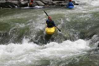 Playspot
III+
Playspot
III+
Running the Dam
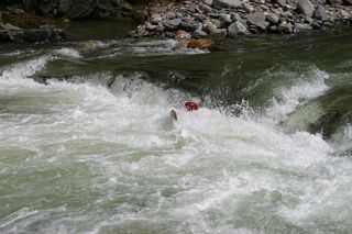 Playspot
III+
Playspot
III+
Another View of Crossing the Dam
Rapid
IV
Double Drop
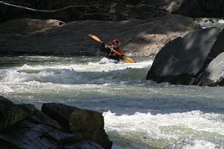 Rapid
IV
Rapid
IV
Triple Drop - Top
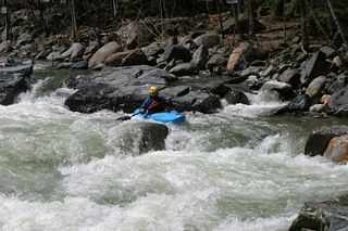 Playspot
IV
Playspot
IV
Triple Drop - Sneak Route Left
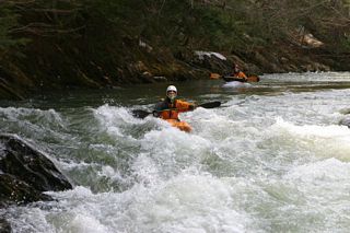 Rapid
III
Rapid
III
The Chute - Top
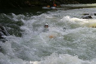 Rapid
III
Rapid
III
The Chute
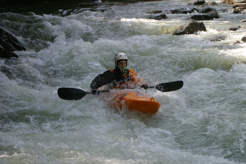 Rapid
III
Rapid
III
The Chute - Bottom
View Full Run
2.) Lower
Rock
III-IV
4.5 mi
Current Conditions
5-Day Forecast
Whitewater data from
American Whitewater
American Whitewater