Ass Hole
Save this feature with the run it belongs to.
Gauge Conditions
Almost certainly too low for reasonable whitewater run.
Photo
Description
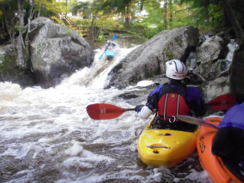
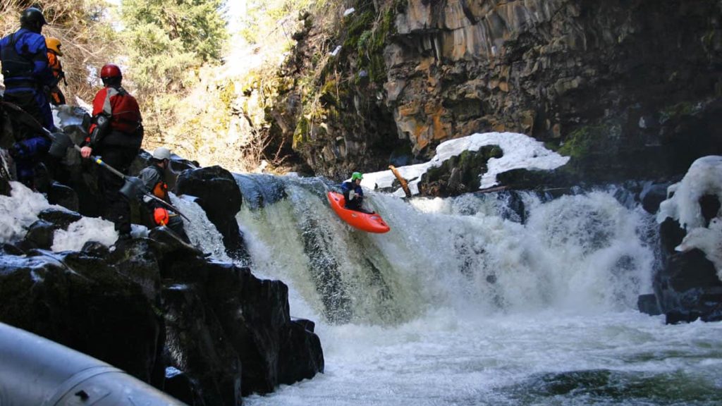
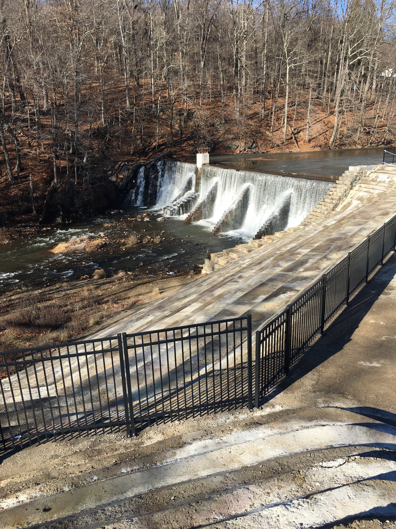
This list of rapids is very incomplete, and the specific location (of the indicator on the map) is likely way imprecise. However, we felt it important to mention what is certainly not the biggest drop on the river but what is (perhaps) the most perennially troublesome drop on the river. By the way, the name comes not just from boaters, but from the locals who use the various 'holes' in summer for swimming. This is why it is two separate words (Ass Hole), not just one word (Asshole).
The clues that you have reached this drop are seeing a house on river-right, and seeing the river squeezed between a large hump of rock on the right and a much smaller and lower hump of rock on the left. The flow is funneled into a crease, and drops into a brief pool below. Only a couple boat-lengths downstream, the current pillows against a large rock ('Hemorrhoid Rock', 'cuz it's a real P.I.T.A.), backing up the flow, making the hole even more sticky. The usual route is to start from well-to-the-right in the pool above, charging hard to the left as you hit the crest of the drop, trying to charge hard toward the eddy to river-left of the hole. Make sure to paddle out upon landing, lest you get sucked back into the hole! There are epic tales (and videos) of boaters who didn't quite make the eddy, leaving them and their boats recircing in the hole and the 'room-of-doom' on the right. Rescue is not easy from there.
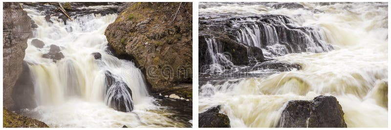
Downstream, a great wealth of ledges, slides and falls await. As stated elsewhere in the general description, the best advice on almost everything is stay to the left on all major drops and gradient.
Location
Other Rapids on This Run (10)

Current Conditions
5-Day Forecast
American Whitewater