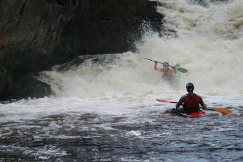
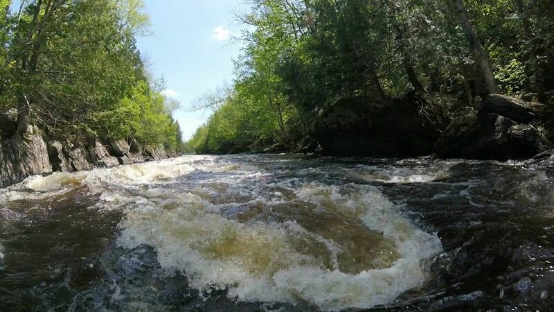
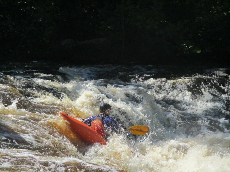
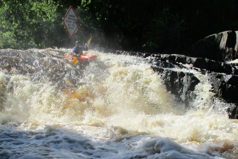
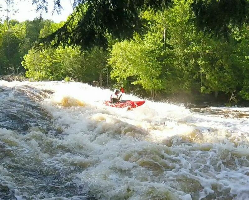
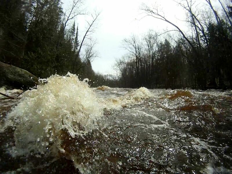
Beyond Breakwater Gorge Rapids
Save this feature with the run it belongs to.
Gauge Conditions
Likely good (low-to-moderate) flows for LaSalle; Likely too low for Pine 'Narrows'.
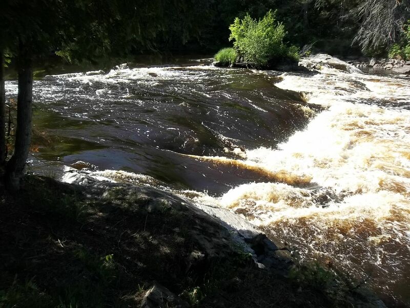
Photo
Description
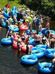
The takeout at County N is 2 miles downriver (swifts for most of the way) on river left immediately after the bridge. There is a large parking area and outhouse (during peak summer-use) at the County N landing. From here the river continues (with swifts) as what locally and is called the “Oxbow” (very popular for tubing in summer) because 3.5 miles downriver from the County N landing is a takeout landing (45.843301, -88.224323) from where it is a 10 minute walk back to a car parked at the County N landing. There are no significant rapids downriver except one set, a half-mile up from the confluence of the Pine and Menominee Rivers, that was submerged when the Ford Dam was built on the Menominee River for power at the nearby Ford Motor Company plant in 1923. There are two landings on the Pine River at 2.3 miles and 5.84 miles beyond the Oxbow takeout and eventually a landing on Cowboy Lake off off of the Menominee River about 8 miles past the Oxbow takeout.
Location
Other Rapids on This Run (11)
 Rapid
N/A
Rapid
N/A
 Rapid
N/A
Rapid
N/A
 Rapid
IV+
Rapid
IV+
 Rapid
II+
Rapid
II+
 Rapid
II
Rapid
II
 Rapid
N/A
Rapid
N/A
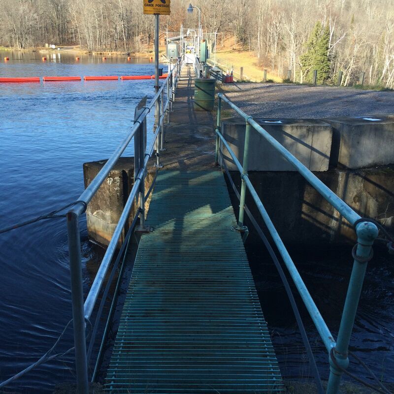 Portage
N/A
Portage
N/A
 Rapid
IV+
Rapid
IV+
 Rapid
IV+
Rapid
IV+
 Rapid
IV+
Rapid
IV+
 Rapid
II+
Rapid
II+
Current Conditions
5-Day Forecast
American Whitewater