Breakwater Gorge Rapids and Takeout
Save this feature with the run it belongs to.
Gauge Conditions
Likely good (low-to-moderate) flows for LaSalle; Likely too low for Pine 'Narrows'.
Photo
Description
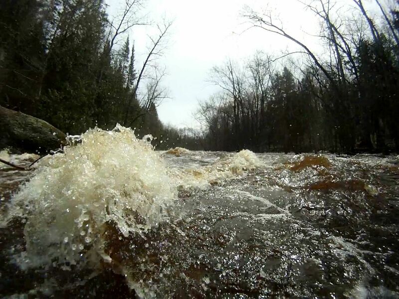
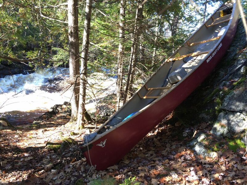
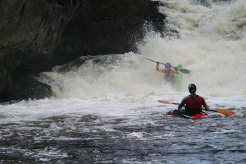
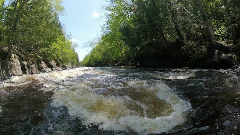
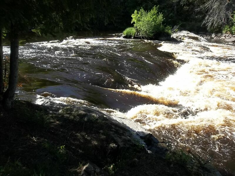
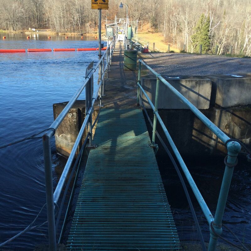
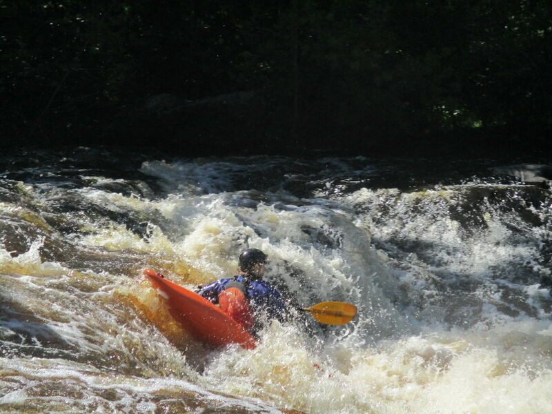
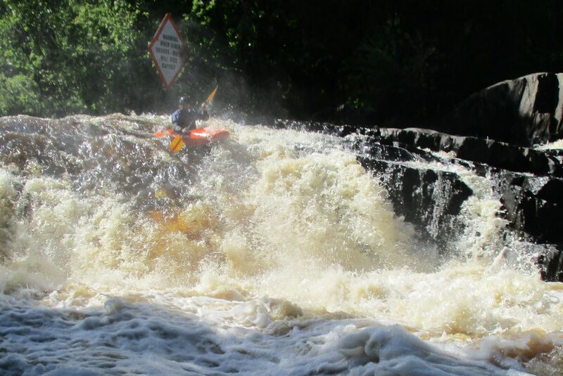
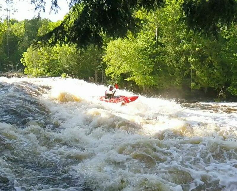
Below the three-pitch drops of Breakwater Falls, a boulder-bed, class II-III rapids fill the river about a quarter-mile down to the powerhouse. Put-in to run just the gorge rapids is on river-right just after the third pitch of Breakwater Falls. Getting to the river from the service road involves turning towards the river at a point (45.828728, -88.251927) where the large cement blocks are on the uphill bank just off from the service road. The descent to the river is steep. At the river, there is not marked put-in spot. Launch adequately upriver from the downriver island to allow a cross-river ferry maneuver. Shortly after entering the left channel the river is narrowed and larger waves develop as it passes a very large boulder sticking out from the left bank. As the river widens again, take the right channel. The left channel does not have a usable exit. Near the generating station is the final bit of bigger wave action. Immediately after the waves, there is a large, calm-water eddy on river-left but in high flows crossing both the river and the outflow of the generating station to get to the takeout landing on river-right may not be possible. If you do takeout at the generating station (45.826767, -88.247734), the take-out landing is unmarked from the river. The takeout is in a very small eddy just below where 3 metal stakes were probably placed I the river there with the hopes of providing a small bit of calm water. At high flows the takeout is in fast flow. The takeout at County N is 2 miles downriver (mostly swifts) on river left immediately after the bridge. There is a large parking area and outhouse (during peak summer-use) at the County N landing. The USGS flow station is river-left just above the County N bridge. The visible staff gauge on the downriver middle support for the bridge is not what is reported on the USGS website as gauge height. The USGS gauge is not publicly viewable. It is on river right, immediately after the generating station (across the outflow from the station).
Location
Other Rapids on This Run (11)
 Rapid
N/A
Rapid
N/A
 Rapid
N/A
Rapid
N/A
 Rapid
IV+
Rapid
IV+
 Rapid
II+
Rapid
II+
 Rapid
II
Rapid
II
 Rapid
N/A
Rapid
N/A
 Portage
N/A
Portage
N/A
 Rapid
IV+
Rapid
IV+
 Rapid
IV+
Rapid
IV+
 Rapid
IV+
Rapid
IV+
 Rapid
N/A
Rapid
N/A
Current Conditions
5-Day Forecast
American Whitewater