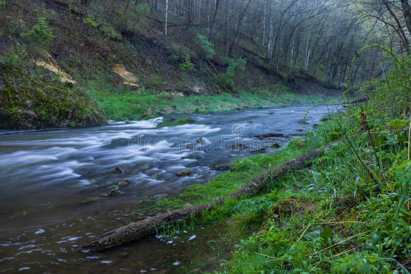
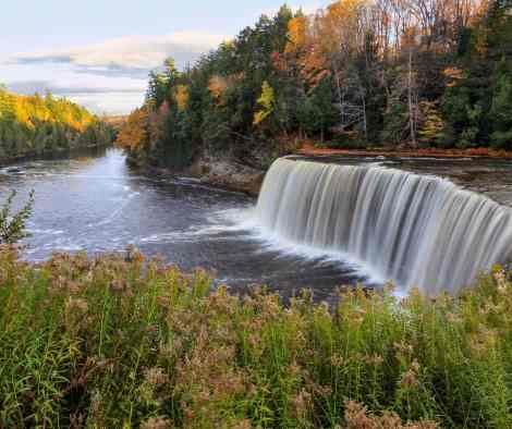
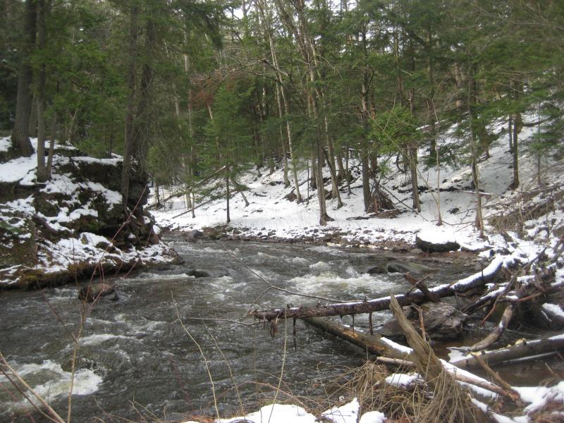
Braided Channel
Carp (Marquette) - B) 'Upper': Carp Lake dam to CR553 (Marquette Mtn.) (2.88 miles) (MI)
Gauge Conditions
Likely too low for reasonable whitewater run. (We need your input! Add a comment about gauge reading and corresponding runnability/difficulty of this run.)
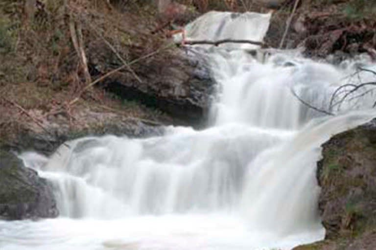
Photo
Description
The river tends to break into braided channels through trees as it approaches the ski area parking lots. Massive amounts of wood tends to accumulate here. There may be an open channel through this mess, but at least as likely, you'll cut your losses (the first time you need to get out of your boat to get around something) if you just head up shore and carry across the parking lot to your vehicle. Or, far more likely, you'll be doing the lower run as well, so carry to somewhere near the highway bridge, where you can find open channel to continue downriver.
In the interest of full disclosure, the 'run length' has been set to the full distance to the 553 bridge, just for the perhaps unlikely event that some channel through this area might exist (after flooding, for instance).
Location
Current Conditions
5-Day Forecast
American Whitewater