Put-in
MI
Put In
Carp (Marquette) - B) 'Upper': Carp Lake dam to CR553 (Marquette Mtn.) (2.88 miles) (MI)
Gauge Conditions
Runnable: 120.0 – 420.0 CFS
Likely too low for reasonable whitewater run. (We need your input! Add a comment about gauge reading and corresponding runnability/difficulty of this run.)
Data from American Whitewater & USGS
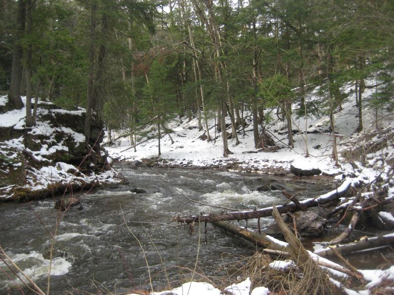
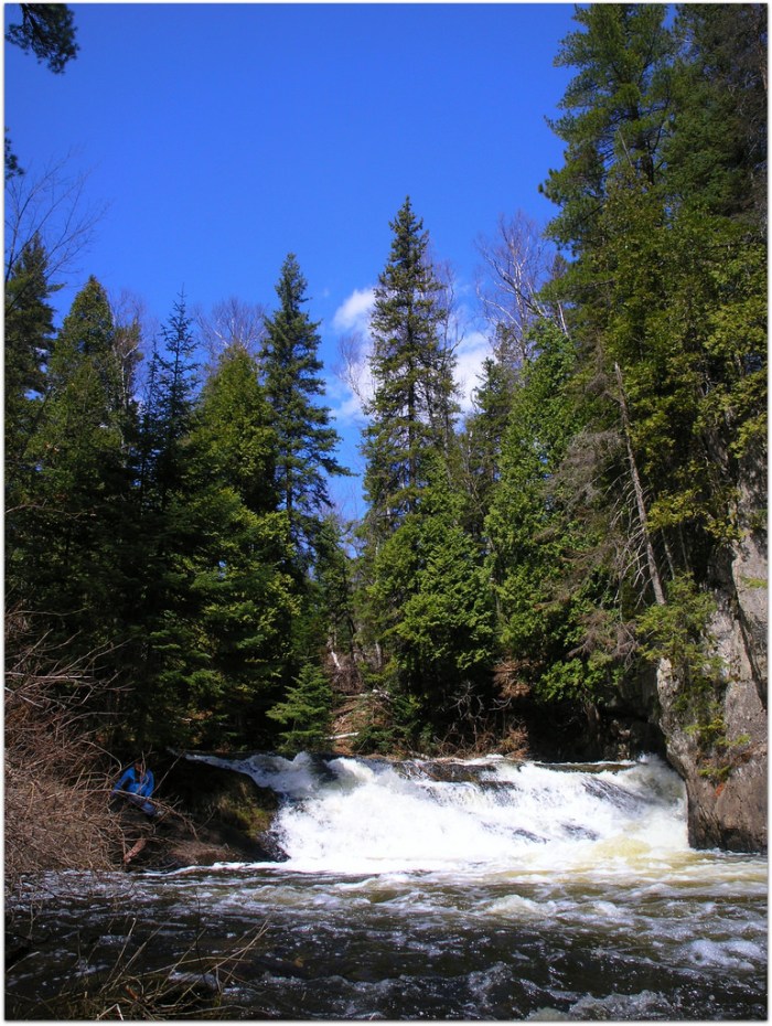
Photo
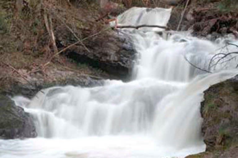
Photo courtesy of American Whitewater
Description
The Put In rapid marks the starting point for the upper Carp River section, characterized by an initial drop and moderate boulder garden that requires precise navigation. Paddlers should be prepared for potential submerged rocks and variable water levels that can significantly alter the rapid's technical complexity, with careful route selection critical to avoiding potential pin or entrapment hazards.
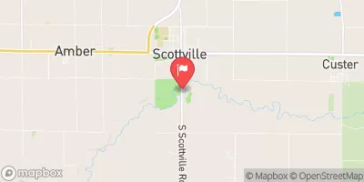
Location
View Full Run
B) 'Upper': Carp Lake dam to CR553 (Marquette Mtn.) (2.88 miles)
Carp (Marquette)
III-V(V+)
2.2 mi
Current Conditions
5-Day Forecast
Whitewater data from
American Whitewater
American Whitewater