Rapid
WI
Bridge: Interstate 41/Hwy.45
Save this feature with the run it belongs to.
Gauge Conditions
Runnable: ? – ? CFS
Approximate - nearest available gauge. Use as general reference only.
Data from American Whitewater & USGS
Photo

Photo courtesy of American Whitewater
Description
This stretch of the Menomonee River near the Interstate 41/Highway 45 bridge appears to be a minimal whitewater feature, likely with limited technical challenges. Paddlers should treat this as a basic waypoint with potential urban river conditions, requiring standard awareness of potential debris or hydraulic variations near infrastructure.
Location
Interactive river map
Loads as you approach this section.
Other Rapids on This Run (20)
Rapid
N/A
Butler Frontier Park
Rapid
N/A
Bridge: 124th Street (60.64 sq.mi.)
 Hazard
N/A
Hazard
N/A
Railroad Culverts
 Hazard
N/A
Hazard
N/A
Massive, Persistent Snag
Rapid
N/A
Bridge: Hampton Avenue
Rapid
N/A
Island
Rapid
N/A
Webster Park
Rapid
N/A
Menomonee River Parkway at W.Congress St.
Rapid
N/A
Bridge: Capitol Drive
 Hazard
N/A
Hazard
N/A
Bridge: Currie Park Golf
 Hazard
N/A
Hazard
N/A
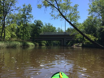
Bridge: Currie Park Golf
 Hazard
N/A
Hazard
N/A
Bridge: Curie Park Golf
Rapid
N/A
Bridge: Hwy.100 / Mayfair Road
Rapid
N/A
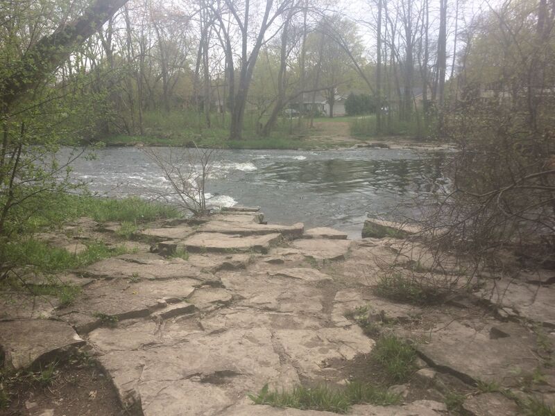
Hartung Park (Menomonee River Parkway) *** Recommended Put-in ***
 Playspot
N/A
Playspot
N/A
Hartung Park Ledge
 Rapid
N/A
Rapid
N/A
Bridge: Burleigh Street
Rapid
N/A
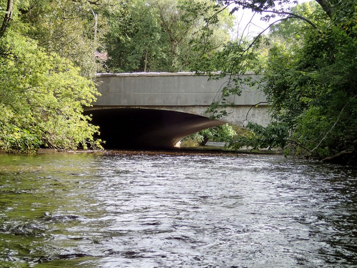
Mt.Mary Shoals
 Rapid
N/A
Rapid
N/A
Bridge: North Ave.
Rapid
N/A
Confluence: Underwood Creek
 Hazard
N/A
Hazard
N/A
Hansen Golf Course Bridge
View Full Run
B) MenWesTosa: Hartung Park to Hart Park (3.66 miles)
Menomonee
I-II
3.5 mi
Current Conditions
5-Day Forecast
Whitewater data from
American Whitewater
American Whitewater