Rapid
WI
Menomonee River Parkway at W.Congress St.
Save this feature with the run it belongs to.
Gauge Conditions
Runnable: ? – ? CFS
Approximate - nearest available gauge. Use as general reference only.
Data from American Whitewater & USGS
Description
The northernmost point of the Menomonee River Parkway is at West Congress Street (midway between Capital Drive and Hampton Avenue).There is very little parking evident along this stretch of road. Additionally, at least at the northernmost end of this area, the area between the river and the road is low swampy floodplain.DON'T EVEN THINK ABOUT TRYING TO ACCESS FROM HERE!
Location
Interactive river map
Loads as you approach this section.
Other Rapids on This Run (20)
Rapid
N/A
Butler Frontier Park
Rapid
N/A
Bridge: 124th Street (60.64 sq.mi.)
 Hazard
N/A
Hazard
N/A
Railroad Culverts
 Rapid
N/A
Rapid
N/A
Bridge: Interstate 41/Hwy.45
 Hazard
N/A
Hazard
N/A
Massive, Persistent Snag
Rapid
N/A
Bridge: Hampton Avenue
Rapid
N/A
Island
Rapid
N/A
Webster Park
Rapid
N/A
Bridge: Capitol Drive
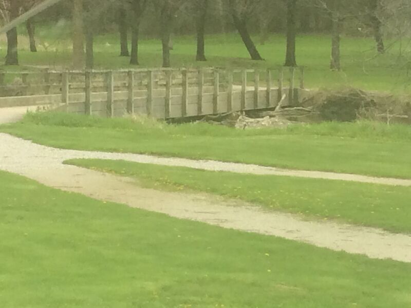 Hazard
N/A
Hazard
N/A
Bridge: Currie Park Golf
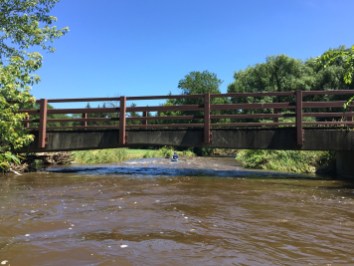 Hazard
N/A
Hazard
N/A
Bridge: Currie Park Golf
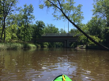 Hazard
N/A
Hazard
N/A
Bridge: Curie Park Golf
Rapid
N/A
Bridge: Hwy.100 / Mayfair Road
Rapid
N/A
Hartung Park (Menomonee River Parkway) *** Recommended Put-in ***
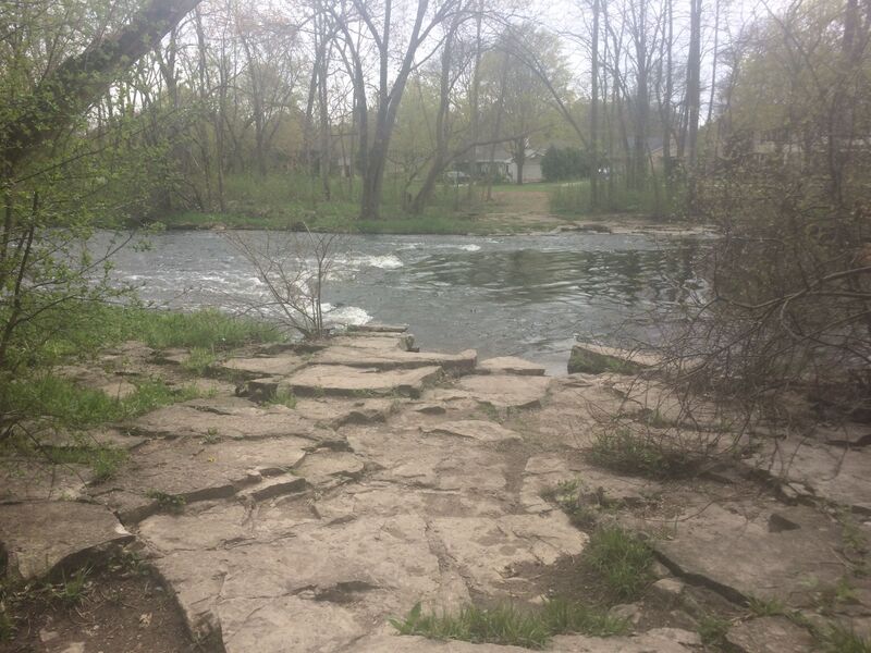 Playspot
N/A
Playspot
N/A
Hartung Park Ledge
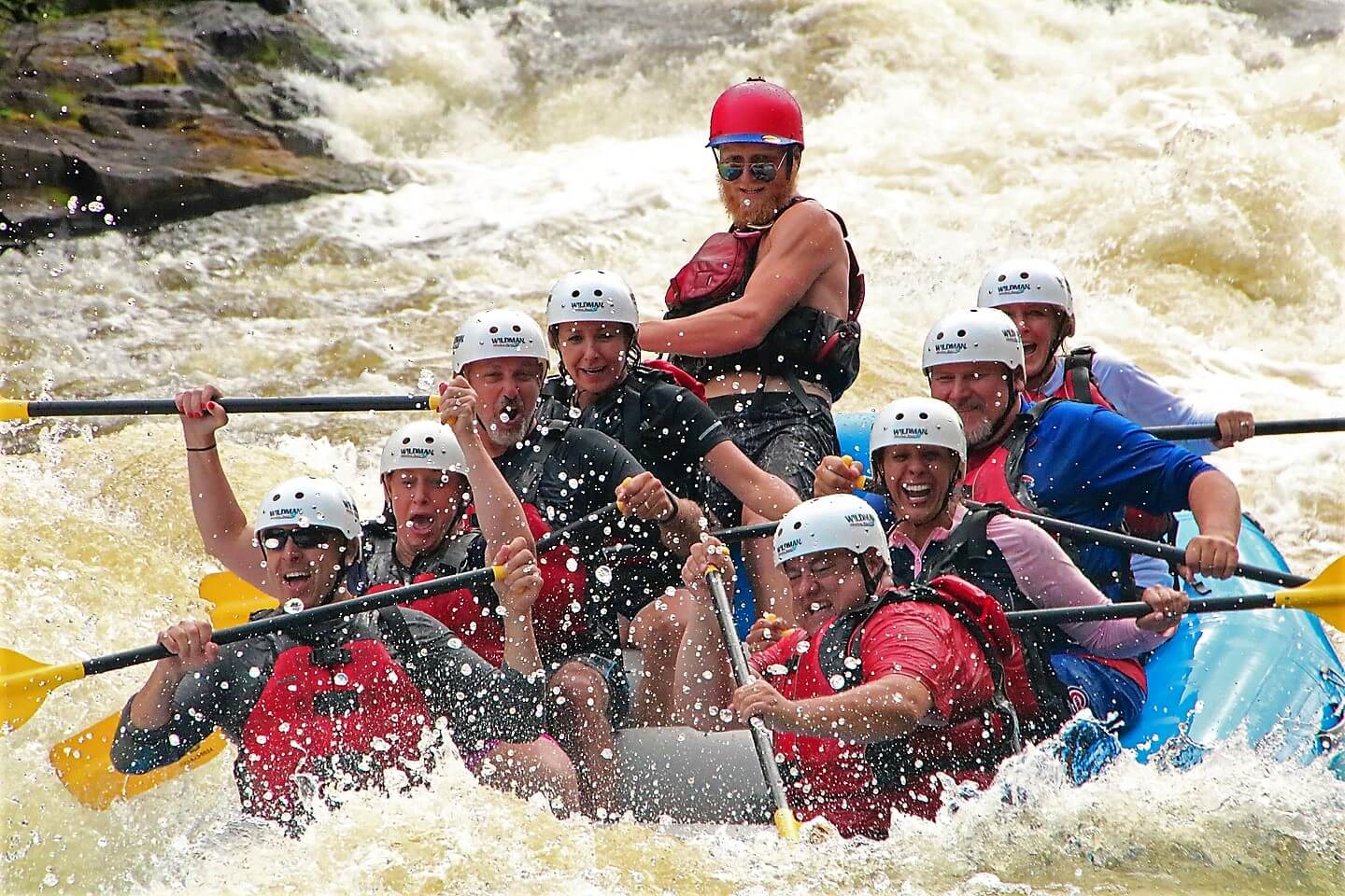 Rapid
N/A
Rapid
N/A
Bridge: Burleigh Street
Rapid
N/A
Mt.Mary Shoals
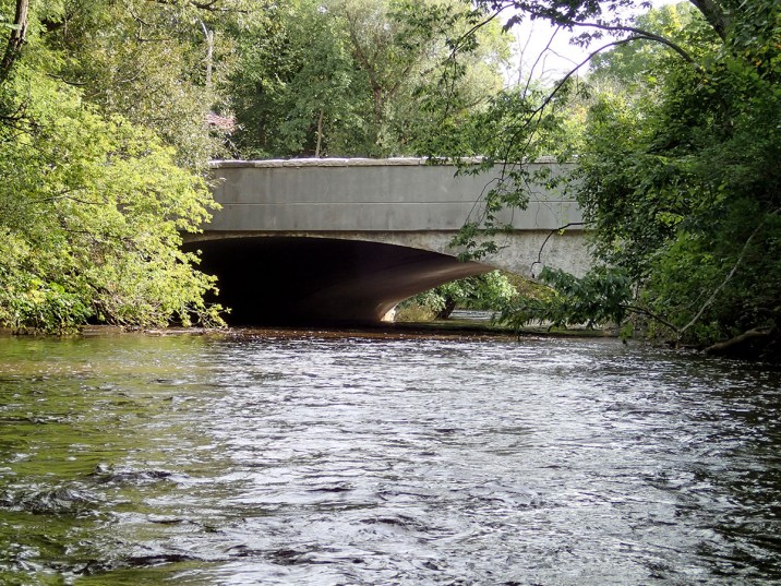 Rapid
N/A
Rapid
N/A
Bridge: North Ave.
Rapid
N/A
Confluence: Underwood Creek
 Hazard
N/A
Hazard
N/A
Hansen Golf Course Bridge
View Full Run
B) MenWesTosa: Hartung Park to Hart Park (3.66 miles)
Menomonee
I-II
3.5 mi
Current Conditions
5-Day Forecast
Whitewater data from
American Whitewater
American Whitewater