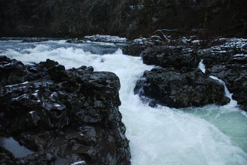
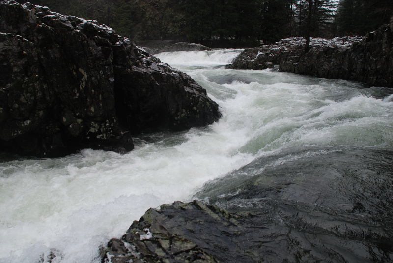
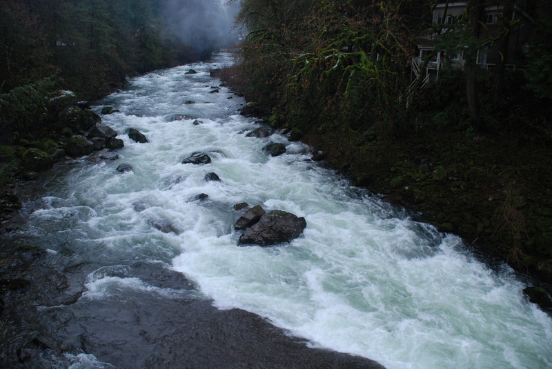
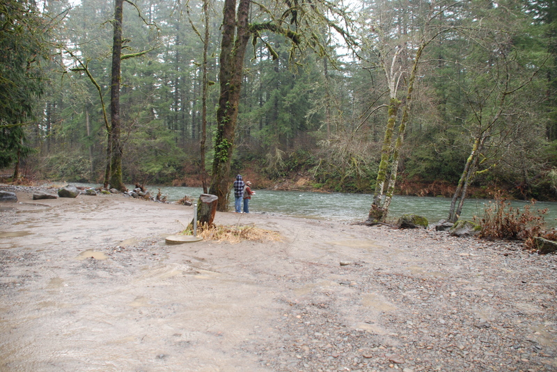
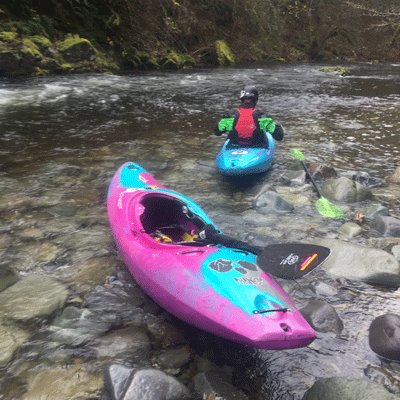
Canyon at Hantwick Bridge
Save this feature with the run it belongs to.
Gauge Conditions
Data from American Whitewater & USGS
Photo
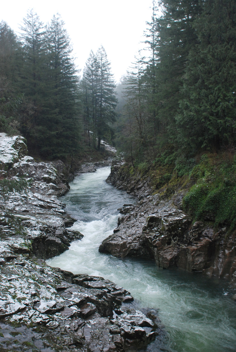
Photo courtesy of American Whitewater
Description
A beautiful little canyon that starts out with a big wave hole then twists and turns through the bedrock.
Location

View Full Run
4 - Moulton Falls to Lewisville Park (Hwy 503)
Lewis, E. Fork
III+(V)
10.1 mi
Current Conditions
5-Day Forecast
Whitewater data from
American Whitewater
American Whitewater