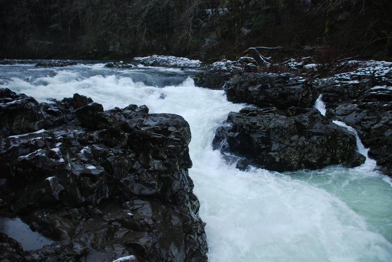
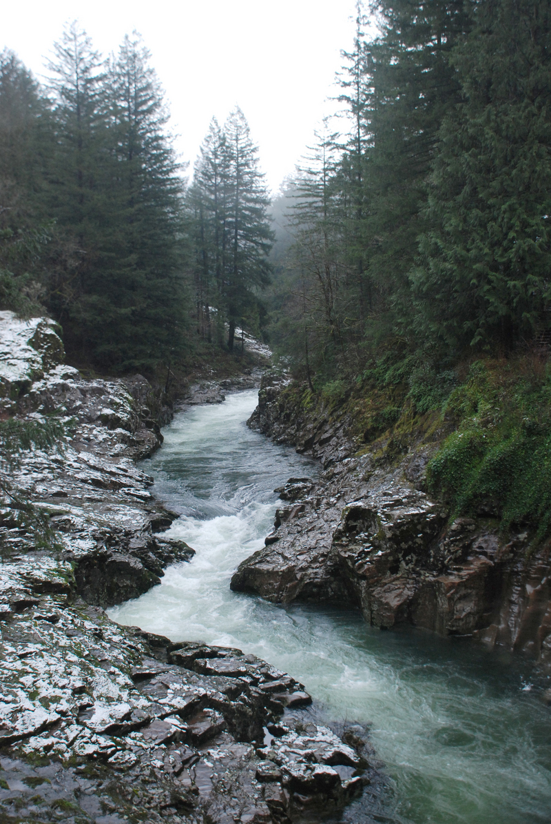
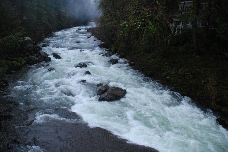
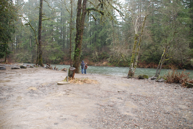
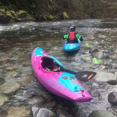
How's Your
River
×
Explore
Explore Map
Water Bodies
Gauges
Access Sites
Tidal Stations
Whitewater
Pricing
Login
Sign Up
Hazard Warning:
Hazard information may be user-submitted and unverified. Conditions change frequently. Always scout rapids and obstacles yourself.
Whitewater
Washington
Lewis, E. Fork - 4 - Moulton Falls to Lewisville Park (Hwy 503)
Lucia Falls
Waterfall
WA
Class V
Lucia Falls
Lewis, E. Fork - 4 - Moulton Falls to Lewisville Park (Hwy 503) (WA)
Monitor this Rapid
Water Body
This Run
Map
Other Rapids
Gauge
Weather
Directions
Gauge Conditions
East Fork Lewis River near Heisson, WA
Downstream
Primary
Runnable: 500.0 – 2,500.0 CFS
Data from
American Whitewater
&
USGS
Photo
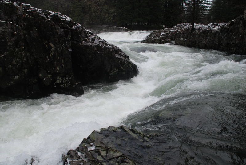
Photo courtesy of
American Whitewater
Description
Lucia Falls has been run although the county posted the area for no water contact recreation. The downstream end of the falls is commonly used as a put-in for a shorter run.
Location
Radar
Counties
Cell
Verizon
AT&T
T-Mobile
Dark
Satellite
Terrain
Other Rapids on This Run (6)
Waterfall
V
Moulton Falls
-25.5 mi
Rapid
III+
Canyon at Hantwick Bridge
-21.9 mi
Rapid
III+
Heisson Bridge Rapid
-19.0 mi
Rapid
Lewisville Park Boat Ramp
-14.3 mi
Rapid
N/A
Put In
0.0 mi
Rapid
N/A
Take Out
11.5 mi
Type
Waterfall
Difficulty
Class V
Mile Marker
-21.5 mi
Directions
Navigate
View Full Run
4 - Moulton Falls to Lewisville Park (Hwy 503)
Lewis, E. Fork
III+(V)
10.1 mi
Current Conditions
5-Day Forecast
Whitewater data from
American Whitewater
Lucia Falls