Hazard
VA
Cattle Fences
Save this feature with the run it belongs to.
Gauge Conditions
Data from American Whitewater & USGS
Photo
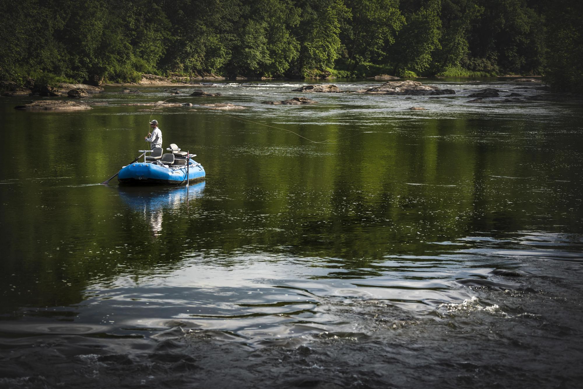
Photo courtesy of American Whitewater
Description
Cattle Fences features a narrow constriction with a technical entry that pushes paddlers toward a series of large, sharp-edged boulders on the river right. The rapid demands precise boat positioning and quick maneuvering to avoid potential pin hazards, with a recommended line that requires careful boat control through a tight, rocky channel.
Location
Interactive river map
Loads as you approach this section.
Other Rapids on This Run (3)
View Full Run
Sperryville to Rock Mills (Rt. 626)
Thornton
II-III
6.5 mi
Hazard — Exercise extreme caution in this area.
Current Conditions
5-Day Forecast
Whitewater data from
American Whitewater
American Whitewater