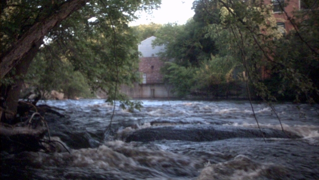
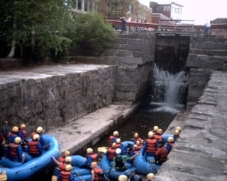
Centennial Island Dam
Save this feature with the run it belongs to.
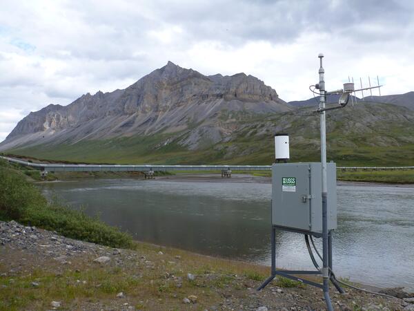
Gauge Conditions
Runnable: 400.0 – 6,000.0 CFS
Data from American Whitewater & USGS
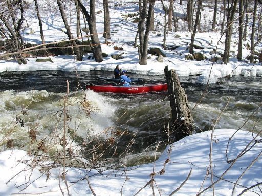
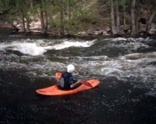
Photo
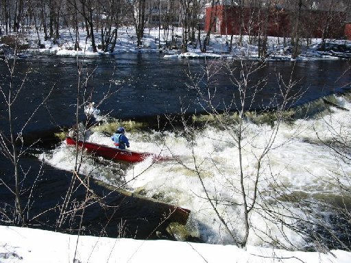
Photo courtesy of American Whitewater
Description
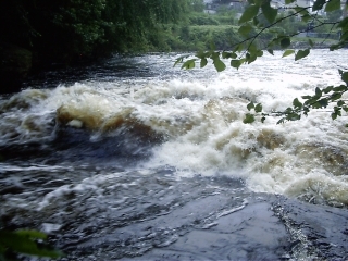
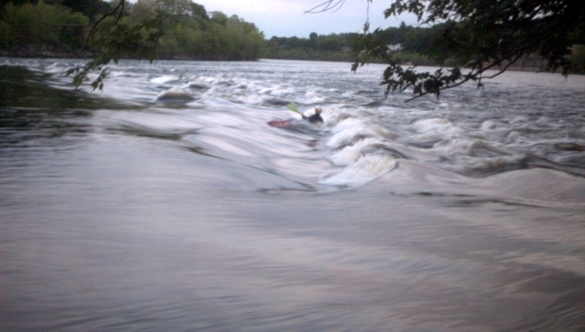
In between the two put-ins is dam used to divert water down the canal for the small power plant. Run the dam approximately 50 feet off the right shore where a V-shaped bend in the dam creates a channel and narrow tongue. Be aware this drop is very rocky and can be full of debris. Make sure you scout it carefully or watch someone else run it. At river levels below 6 feet the run starts to bottom out and gets rocky.
The dam (also called Wamesit Power Company Dam) completed in 1900, is owned by Wamesit Real Estate Trust. Constructed of concrete, rebar, and wooden boards, it is 320 feet long and has a height of 5 feet. Its capacity is 415 acre feet; normal storage is 75 acre feet. The fishway is 79.5' long and was opened in 1991.
The dam (also called Wamesit Power Company Dam) completed in 1900, is owned by Wamesit Real Estate Trust. Constructed of concrete, rebar, and wooden boards, it is 320 feet long and has a height of 5 feet. Its capacity is 415 acre feet; normal storage is 75 acre feet. The fishway is 79.5' long and was opened in 1991.
Location
Interactive river map
Loads as you approach this section.
Other Rapids on This Run (20)
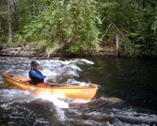
![New [Upper] Put-in](https://howsyourriver.s3.amazonaws.com/images/rapids/new-upper-put-in-concord-ma.jpg) Rapid
Rapid
New [Upper] Put-in
 Rapid
Rapid
Lower Put In
 Playspot
III+
Playspot
III+
Wave above Twisted Sister
Playspot
III+
Wave above Twisted Sister
 Rapid
III
Rapid
III
Twisted Sister (AKA Wamesit Falls)
 Playspot
Surfing Wave
 Rapid
Rapid
Hydroelecric Plant
 Rapid
Rapid
USGS Gage
 Playspot
II
Playspot
II
River-Wide Surfing Wave
 Playspot
III
Playspot
III
Wave at Bottom of Island
Playspot
III
Wave at Bottom of Island
 Playspot
III+
Playspot
III+
Meaty Hole at top of Straight Shot
Playspot
III+
Meaty Hole at top of Straight Shot
 Playspot
III
Playspot
III
Straight Shot (AKA Massic Falls)
 Rapid
Rapid
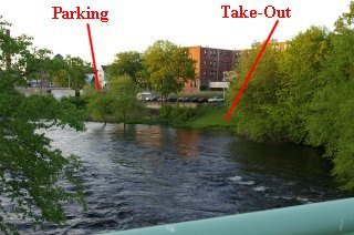
Chestnut Street Take-Out
 Waterfall
IV
Waterfall
IV
Middlesex Dam
 Rapid
Rapid
Warren Street Take-Out
 Rapid
Rapid
Hamilton Canal Locks
Rapid
Hamilton Canal Locks
 Playspot
II+
Playspot
II+
Merrimack River Waves
View Full Run
City of Lowell to Merrimack River
Concord
III+(IV)
2.2 mi
Hazard — Exercise extreme caution in this area.
Current Conditions
5-Day Forecast
Whitewater data from
American Whitewater
American Whitewater