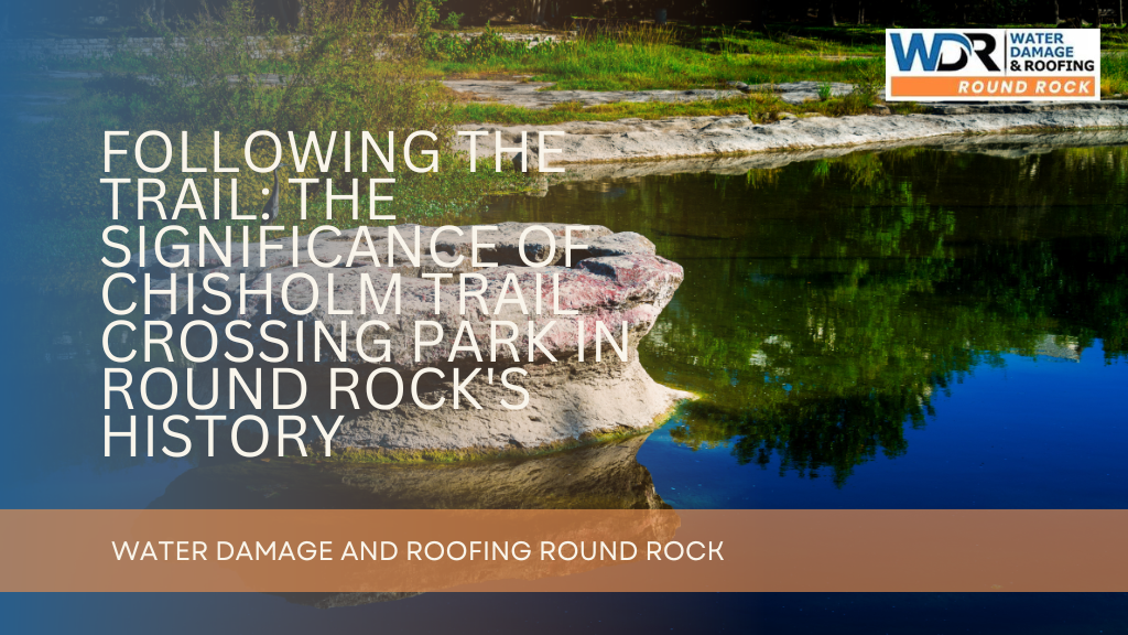
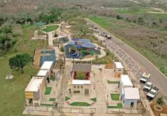
Chisolm Trail Crossing Park
Save this feature with the run it belongs to.
Gauge Conditions
Actual range of best boatability uncertain. Please help your fellow boaters by submitting a comment or report.
Photo
Description
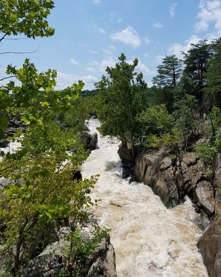
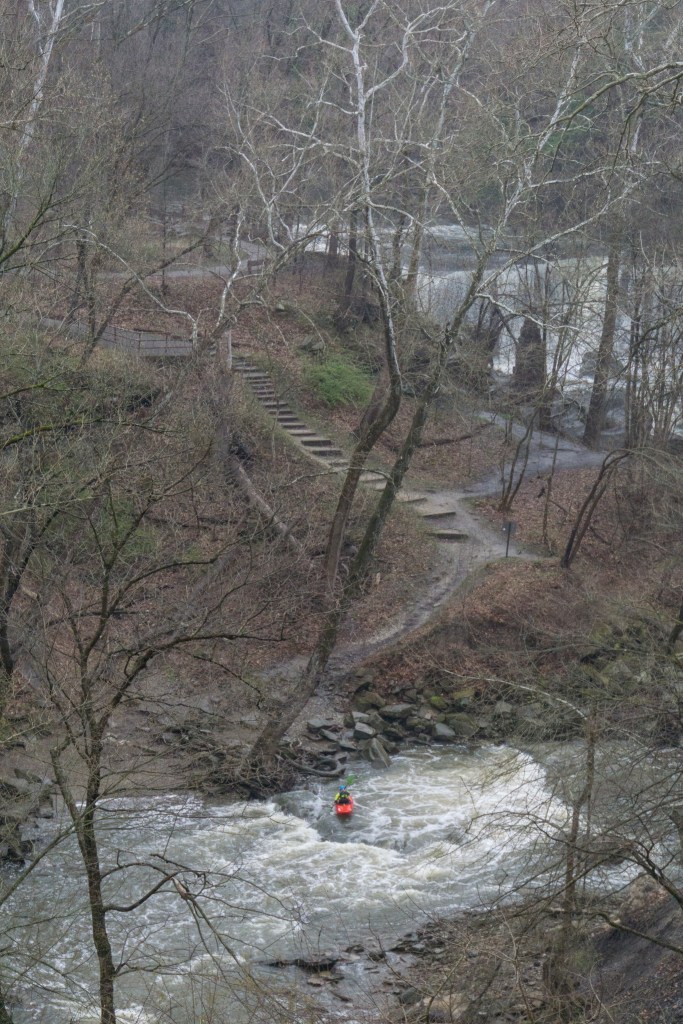
Parking is available at Chisholm Trail Crossing Park, just south of the creek on the west side of the road, or behind the businesses directly along the little lake formed by the dam. Put in below the dam. The dam has a potentially deadly hydraulic even at flows as low as 400 cfs. At those flows, there is still enough headroom to pass through the tunnels under Chisolm Trail Road (but be on the lookout for potential debris piles, especially if the creek has flooded recently.)
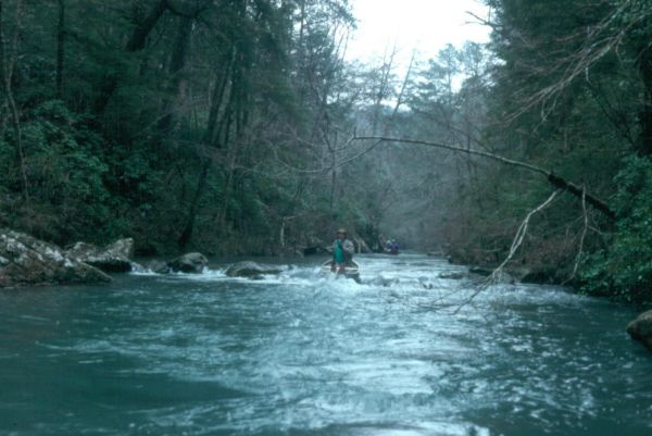
The namesake round rock of Round Rock is located just downstream of Chisholm Trail Road. After the round rock, you will immediately enter shallow, spread-out rapids in which you might drag the bottom at lower flows. Look for the ruts on the left bank, left over from the days when wagons crossed the creek here.
Location
Other Rapids on This Run (11)
 Rapid
N/A
Rapid
N/A
 Hazard
N/A
Hazard
N/A
 Rapid
II+
Rapid
II+
 Rapid
N/A
Rapid
N/A
 Hazard
II+
Hazard
II+
 Rapid
N/A
Rapid
N/A
 Hazard
N/A
Hazard
N/A
 Rapid
N/A
Rapid
N/A
 Rapid
N/A
Rapid
N/A
 Rapid
N/A
Rapid
N/A
 Rapid
N/A
Rapid
N/A
Current Conditions
5-Day Forecast
American Whitewater