Clarks Mills Dam
Save this feature with the run it belongs to.
Gauge Conditions
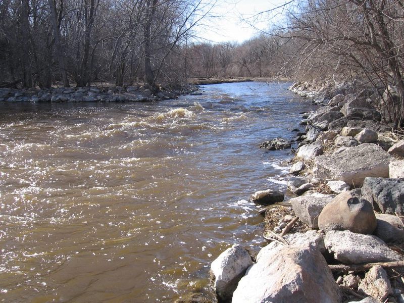
Flatwater float, but gradient will be grungy (likely portage).
Photo
Description
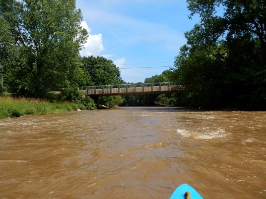
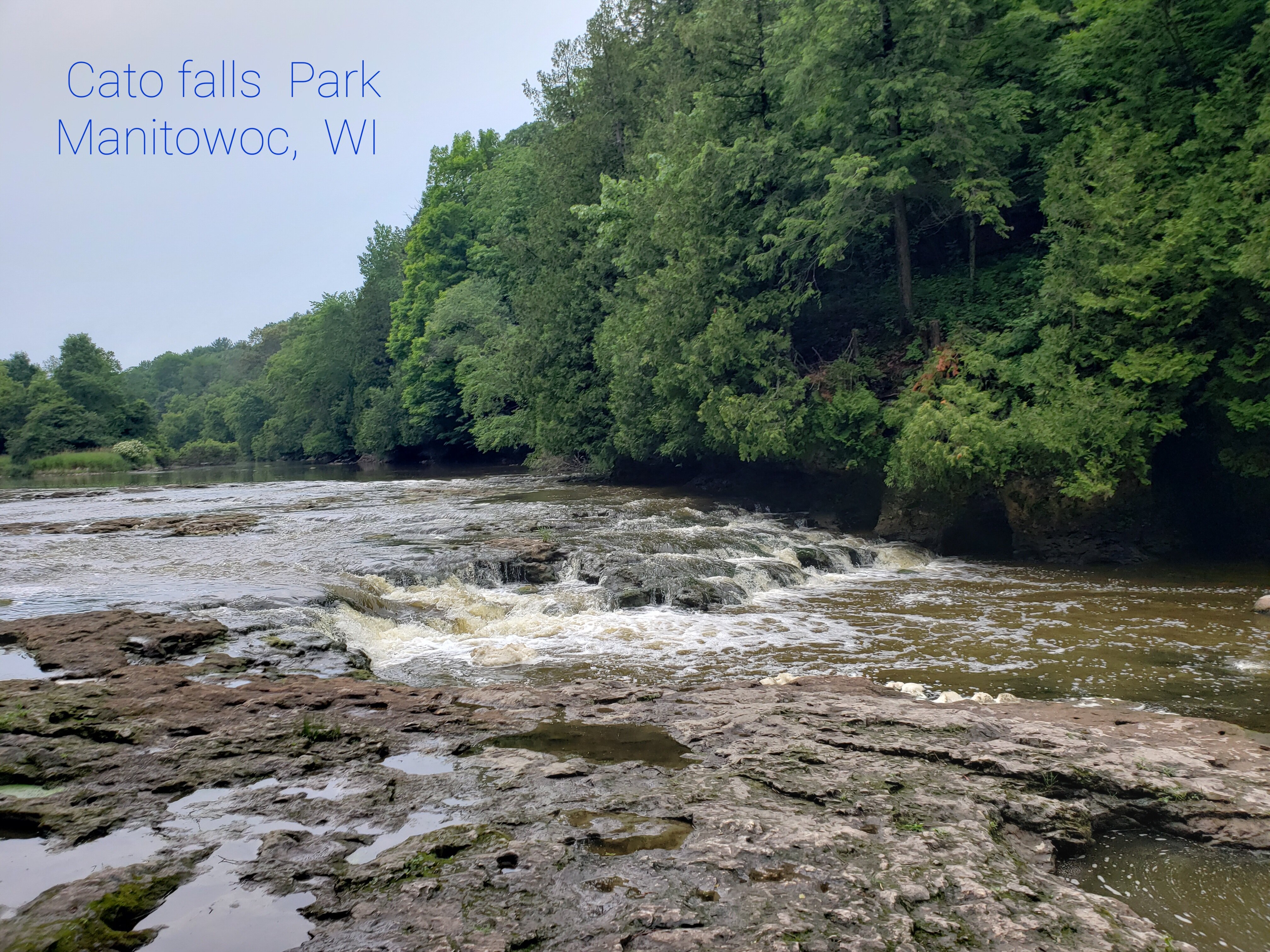
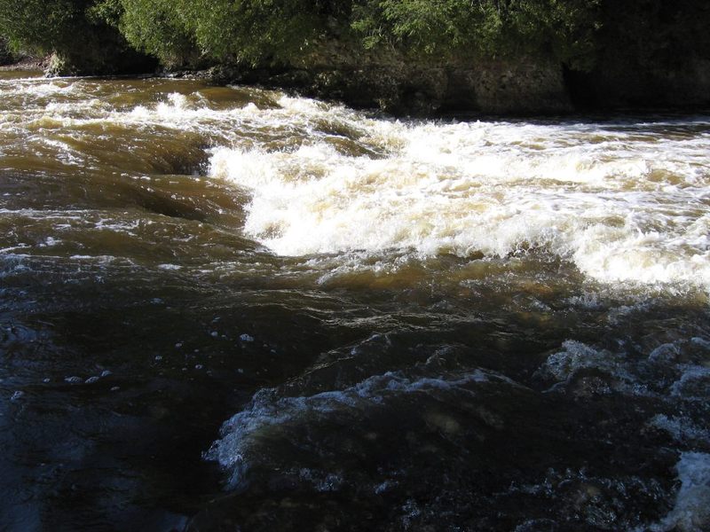
Even though (upper) Cato Falls offers a sweet series of waves and holes to run or play, some paddlers may wish to skip the long lake/backwater/flatwater paddle (which starts not far downstream of those waves) and may opt to use this dam as their put-in instead. There is parking and access here, just off County Trunk Highway (CTH.) J at Mill Street, in the unincorporated village of Clarks Mills.
The dam should NOT be run, as flow drops hard onto a concrete 'splash block' with large rocks immediately backing it up in the outflow. (This 'plunge pool' structure is to reduce or eliminate hydraulic scouring of the riverbed). Put-in well-away from the dam and paddle strongly out into the current. (There may be a persistent eddy trying to pull you upstream toward the dam.)
USGS lists a sampling site just upstream of the dam and shows drainage at this point as 399 square miles.
Location
Current Conditions
5-Day Forecast
American Whitewater