Rapid
WI
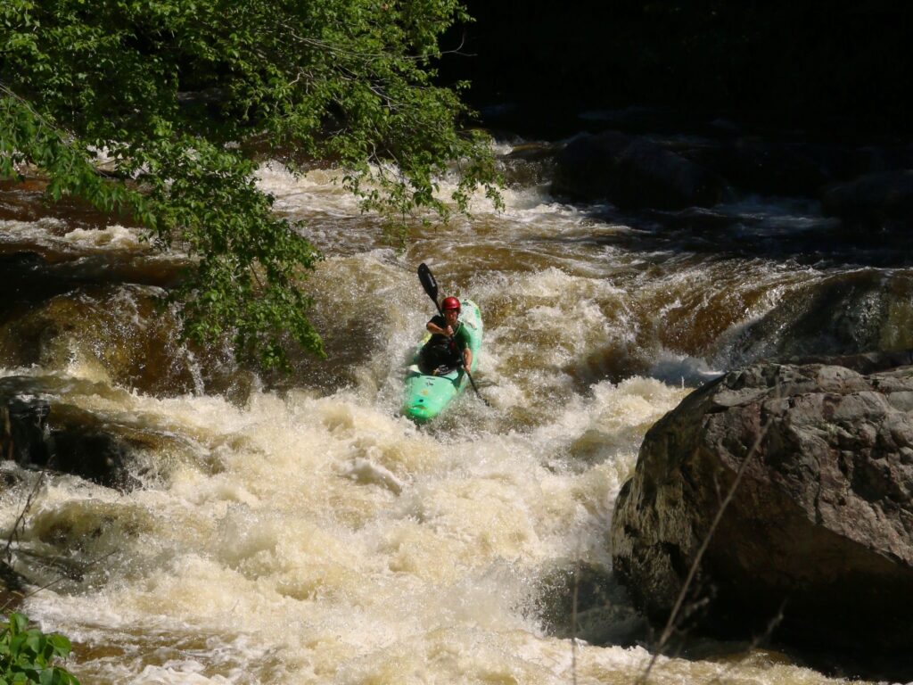
Confluence, N/S Fk
Save this feature with the run it belongs to.
Gauge Conditions
Runnable: ? – ? CFS
Approximate - nearest available gauge. Use as general reference only.
Data from American Whitewater & USGS
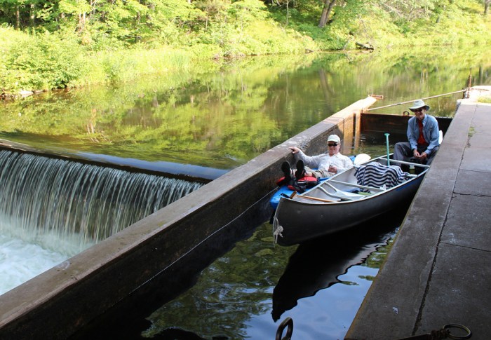
Photo
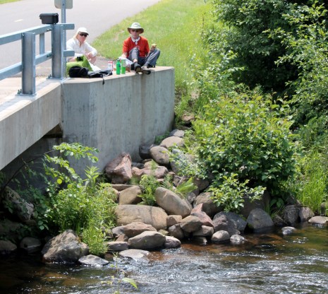
Photo courtesy of American Whitewater
Description
At the confluence of the North and South Forks, paddlers encounter a complex merging of currents that can create unpredictable water dynamics and potential swirling eddies. The intersection of these tributary streams may present shifting channels and potential obstructions, requiring careful navigation and precise boat positioning. Paddlers should scout this section carefully and be prepared for potential route variations depending on current water levels and seasonal flow conditions.
Location
Interactive river map
Loads as you approach this section.
Other Rapids on This Run (9)
View Full Run
A) Channey Rd to CTH.G Landing (5.0 - 8.4 miles)
Eau Claire (Chippewa trib.)
I-II
8.3 mi
Current Conditions
5-Day Forecast
Whitewater data from
American Whitewater
American Whitewater