Rapid
WI
Coon Fork Rapids
Save this feature with the run it belongs to.
Gauge Conditions
Runnable: ? – ? CFS
Approximate - nearest available gauge. Use as general reference only.
Data from American Whitewater & USGS
Description
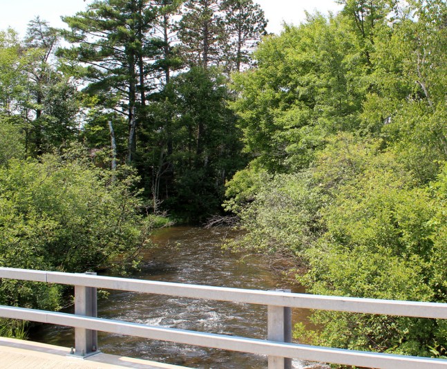
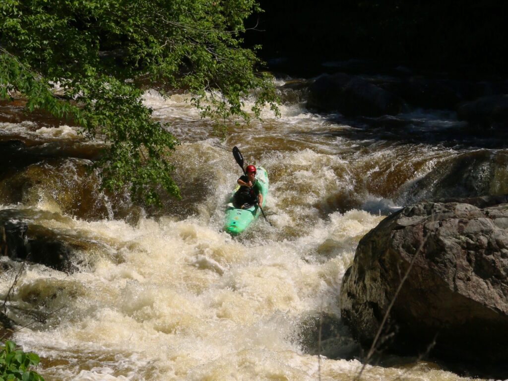
As you encounter a fair-sized wooded island, the second significant rock-garden rapids is encountered. This is named for Coon Fork Creek, which enters river-left a bit downstream. The left side of the island may have the best action early on, while the right side saves it for later (actually at a second island).
Location
Interactive river map
Loads as you approach this section.
Other Rapids on This Run (9)
View Full Run
A) Channey Rd to CTH.G Landing (5.0 - 8.4 miles)
Eau Claire (Chippewa trib.)
I-II
8.3 mi
Current Conditions
5-Day Forecast
Whitewater data from
American Whitewater
American Whitewater