Take-out
TN
Confluence Takeout
Save this feature with the run it belongs to.
Gauge Conditions
Data from American Whitewater & USGS
Photo
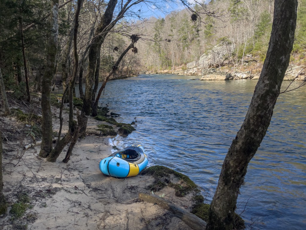
Photo courtesy of American Whitewater
Description
New River and Clear Fork meet at the confluence to form the Big South Fork. This is also the putin for the Big South Fork of the Cumberland. Access to the parking area is by hiking 1/4 mile uphill to the end of John Long Road.
Location
Interactive river map
Loads as you approach this section.
Other Rapids on This Run (2)

View Full Run
3. Burnt Mill Bridge to Confluence with New River
Clear Fork
II+(III)
3.9 mi
Current Conditions
5-Day Forecast
Whitewater data from
American Whitewater
American Whitewater