Rapid
TX
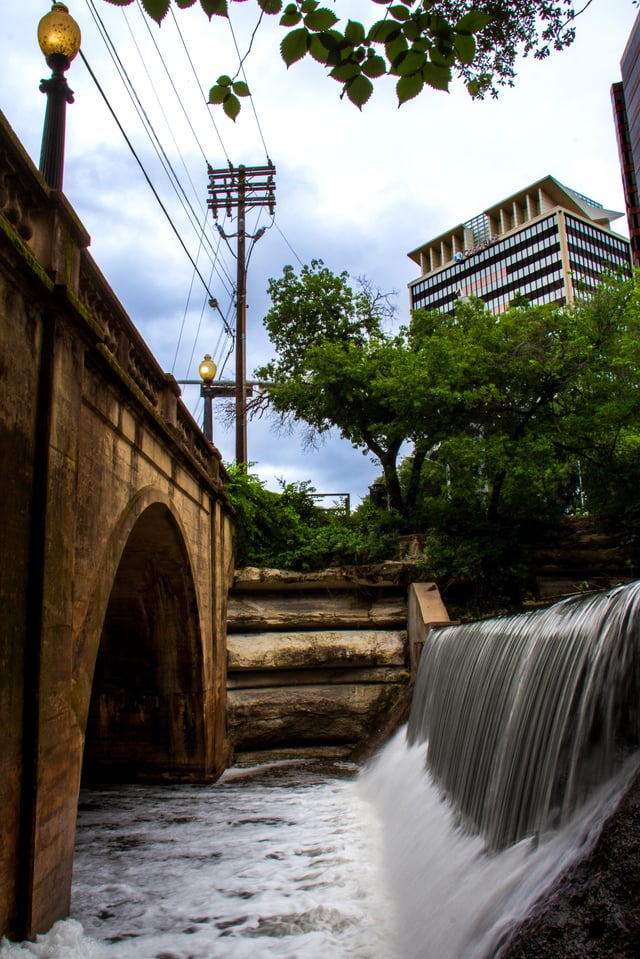
Confluence with Walnut Creek
Save this feature with the run it belongs to.
Gauge Conditions
Runnable: 300.0 – 3,000.0 CFS
Upper limit of recommended boatable flows uncertain. Please contribute a comment or report.
Data from American Whitewater & USGS
Photo
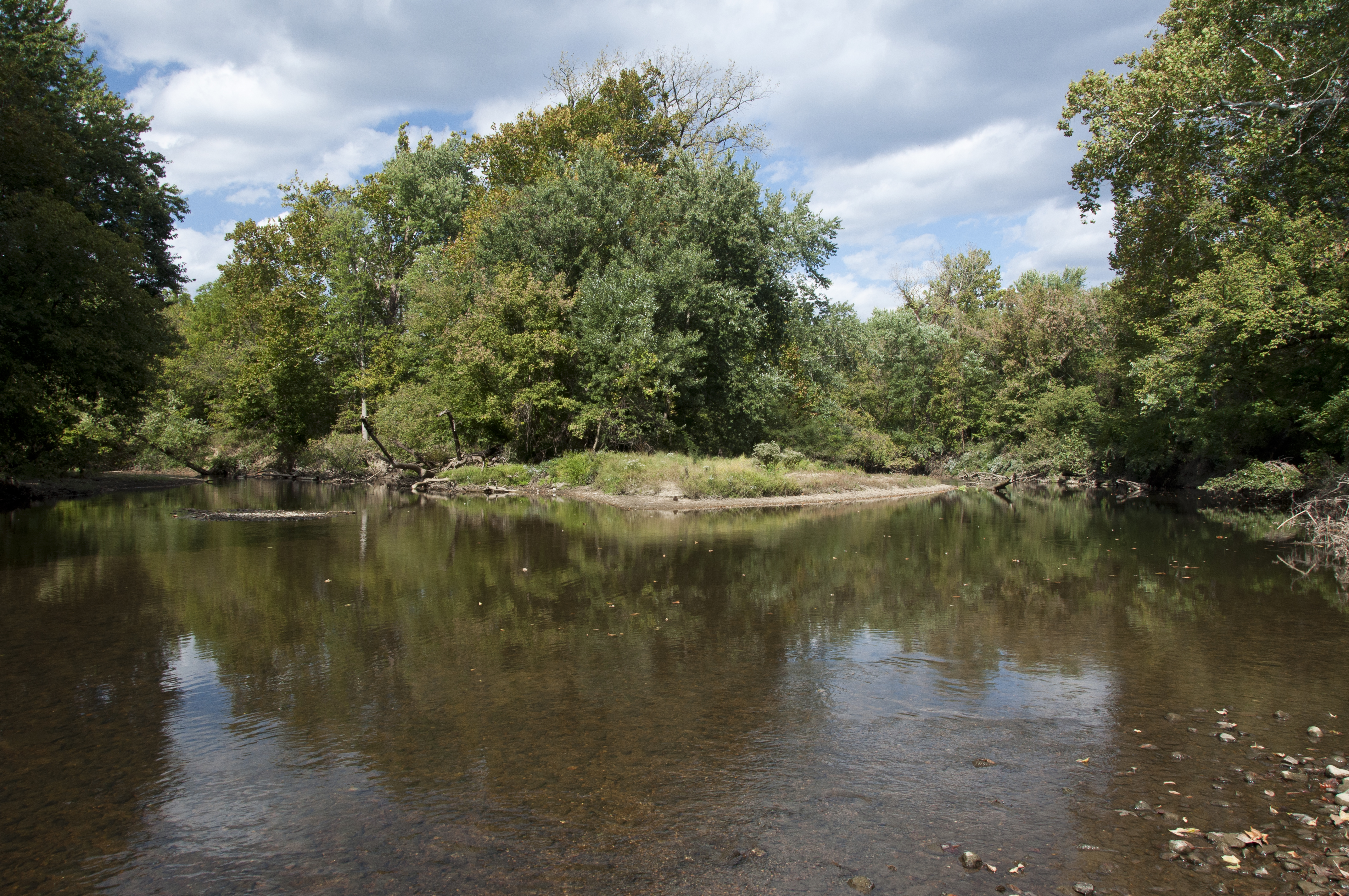
Photo courtesy of American Whitewater
Description
The Confluence with Walnut Creek marks a key reference point where the creek's flow characteristics potentially change, creating a transition zone for paddlers. While specific difficulty and technical features are not detailed, paddlers should be aware of potential water level variations, debris, and potential hydraulic shifts at this location.
Location
View Full Run
Walnut Creek Metropolitan Park to Sprinkle Road (5.1 miles)
Walnut Creek
III
5.1 mi
Current Conditions
5-Day Forecast
Whitewater data from
American Whitewater
American Whitewater