Corner Pocket
Save this feature with the run it belongs to.
Gauge Conditions
Data from American Whitewater & USGS
Photo
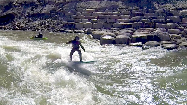
Photo courtesy of American Whitewater
Description
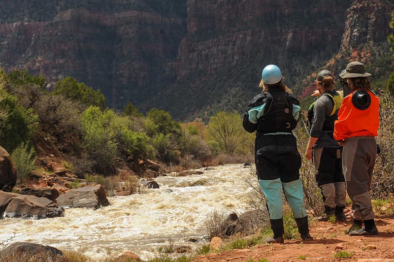
This rapid consistently pushes boaters into a trapped recirculating eddy on the right at the bottom.
Many people walk past this rapid as part of the portage around Cosumnes Falls.
Location
Interactive river map
Loads as you approach this section.
Other Rapids on This Run (17)
 Rapid
N/A
Rapid
N/A
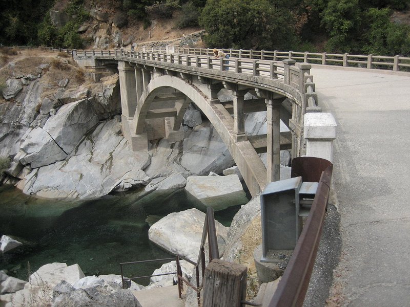
Highway 49 bridge
 Rapid
IV
Rapid
IV
First Mile
 Waterfall
VI
Waterfall
VI
Old and Gray
 Rapid
N/A
Rapid
N/A
Ford
 Rapid
III
Rapid
III
Several Rapids
 Rapid
I
Rapid
I
Long Island
 Rapid
N/A
Rapid
N/A
Latrobe Road
 Portage
N/A
Portage
N/A
Portage Start
 Rapid
IV
Rapid
IV
Commitment
 Waterfall
VI
Waterfall
VI
Cosumnes Falls
 Hazard
IV
Hazard
IV
Stumpy
 Rapid
N/A
Rapid
N/A
End of Falls Portage
 Rapid
III
Rapid
III
Rapid
 Rapid
II+
Rapid
II+
Rapids
 Rapid
I
Rapid
I
Michigan Bar bridge
Hazard
N/A
Diversion Dams
 Rapid
N/A
Rapid
N/A
Jackson Road / Highway 16
View Full Run
Highway 49 to Highway 16
Cosumnes
II-IV(V)
20.0 mi
Hazard — Exercise extreme caution in this area.
Current Conditions
5-Day Forecast
Whitewater data from
American Whitewater
American Whitewater