Hazard
CA
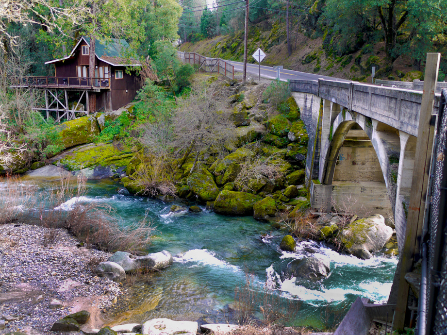
Diversion Dams
Save this feature with the run it belongs to.
Gauge Conditions
Data from American Whitewater & USGS
Description
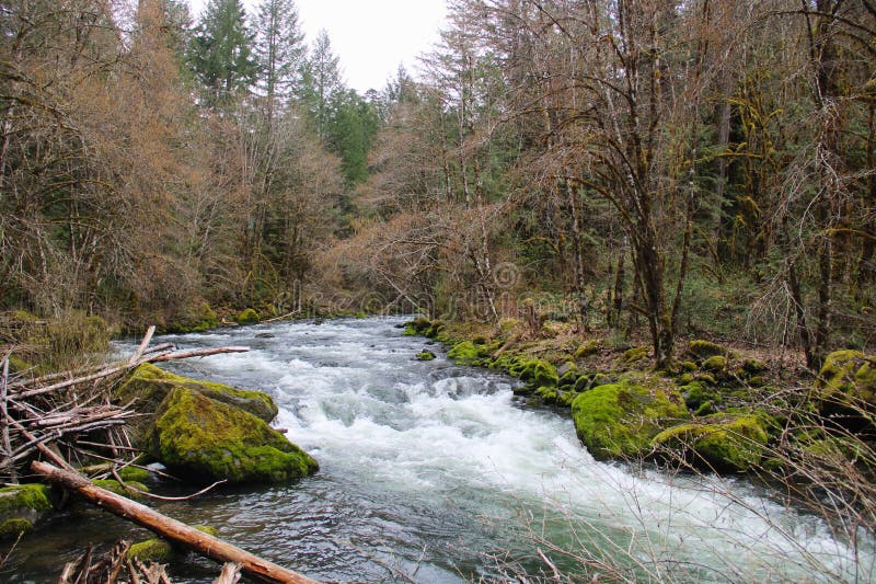
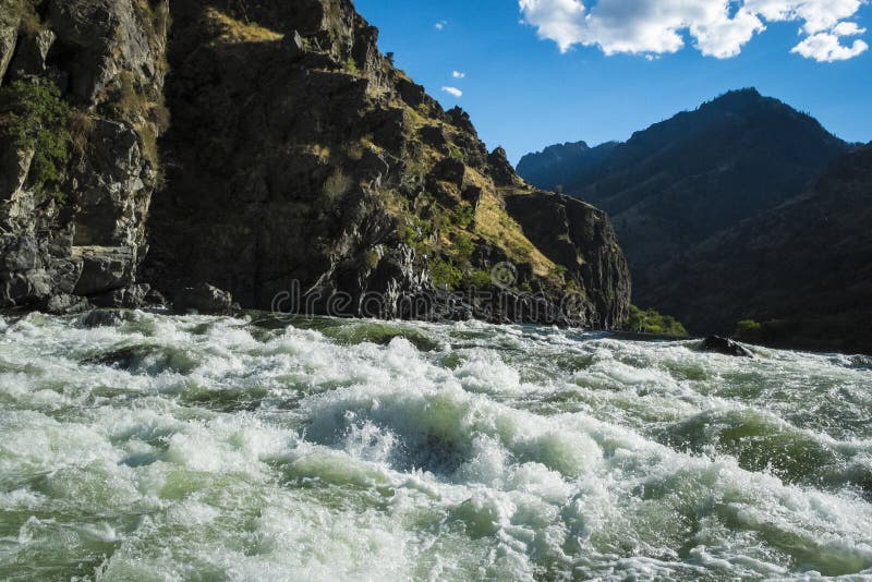
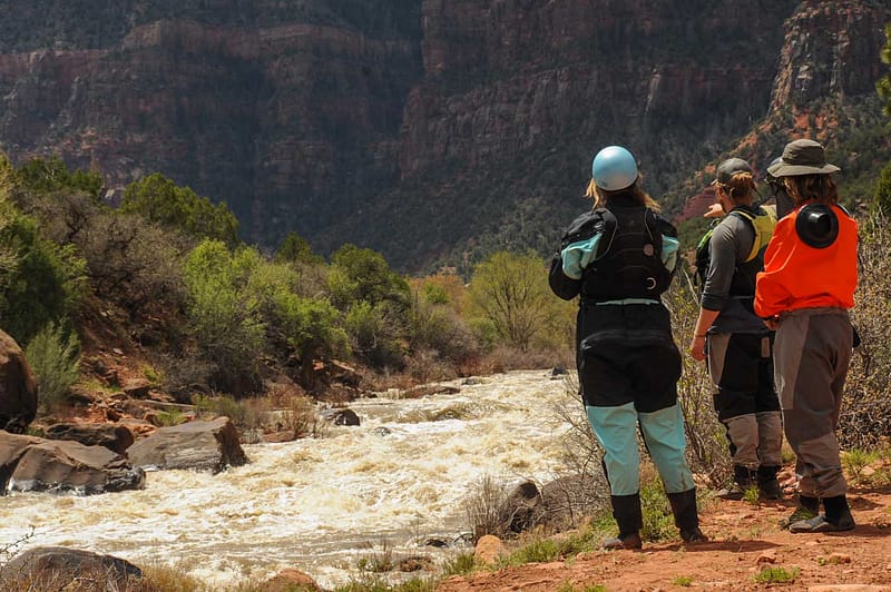
A large island divides the river. Both sides are blocked by dams. The dams create the usual death trap recirculations. Portage across the island down the middle for the easiest walking and access. The flat water from the dams extends upstream about one mile.
Rancho Murieta Community Services district has large pumps and inlets on the north side of the river here. The district diverts water from the Cosumnes River between November and May of each year to Calero, Chesbro and Clementia Reservoirs. All of the District's drinking water is treated before it is supplied to the customer.
Between the diversion dam and Hwy 16 are three or four small but interesting rapids.
Location
Interactive river map
Loads as you approach this section.
Other Rapids on This Run (17)
 Rapid
N/A
Rapid
N/A
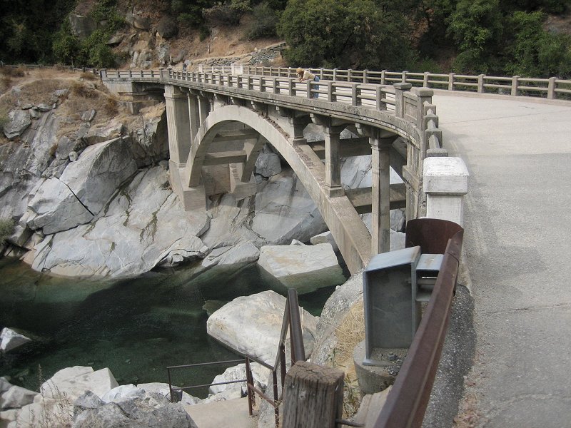
Highway 49 bridge
 Rapid
IV
Rapid
IV
First Mile
 Waterfall
VI
Waterfall
VI
Old and Gray
 Rapid
N/A
Rapid
N/A
Ford
 Rapid
III
Rapid
III
Several Rapids
 Rapid
I
Rapid
I
Long Island
 Rapid
N/A
Rapid
N/A
Latrobe Road
 Portage
N/A
Portage
N/A
Portage Start
 Rapid
IV
Rapid
IV
Commitment
 Waterfall
VI
Waterfall
VI
Cosumnes Falls
 Hazard
IV
Hazard
IV
Stumpy
 Hazard
IV
Hazard
IV
Corner Pocket
 Rapid
N/A
Rapid
N/A
End of Falls Portage
 Rapid
III
Rapid
III
Rapid
 Rapid
II+
Rapid
II+
Rapids
 Rapid
I
Rapid
I
Michigan Bar bridge
 Rapid
N/A
Rapid
N/A
Jackson Road / Highway 16
View Full Run
Highway 49 to Highway 16
Cosumnes
II-IV(V)
20.0 mi
Hazard — Exercise extreme caution. Portage recommended — scout before running.
Current Conditions
5-Day Forecast
Whitewater data from
American Whitewater
American Whitewater