Rapid
CA
Craigs Beach River Access
Save this feature with the run it belongs to.
Gauge Conditions
Data from American Whitewater & USGS
Photo
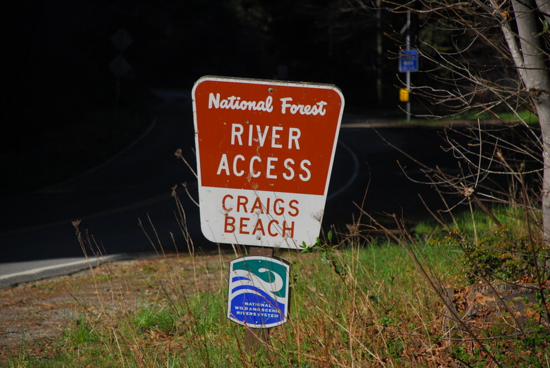
Photo courtesy of American Whitewater
Description
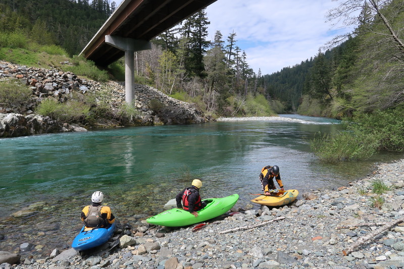
The river is accessed by a 300’ trail to the water. Its narrow width makes it a challenging carry for rafts. The river access includes parking for 20 vehicles, a picnic table, and a vault toilet. It serves as the take-out for the class III run upstream and as the put-in for the class IV/V South Fork Gorge. River mile 1.8.
Location
Interactive river map
Loads as you approach this section.
Other Rapids on This Run (14)
 Rapid
N/A
Rapid
N/A
Steven Memorial Bridge
 Rapid
IV
Rapid
IV
Boulder Creek Rapid
 Rapid
N/A
Rapid
N/A
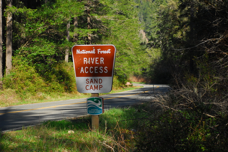
Sand Camp Access
Rapid
II+
G-Spot
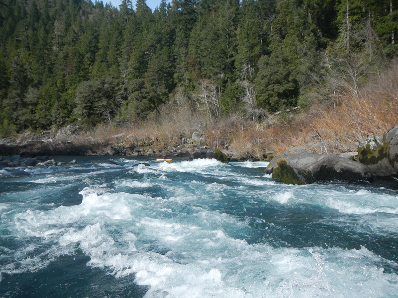 Rapid
III
Rapid
III
Coon Creek
Rapid
III
Broken Paddle
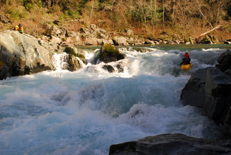 Rapid
III+
Rapid
III+
Surprise
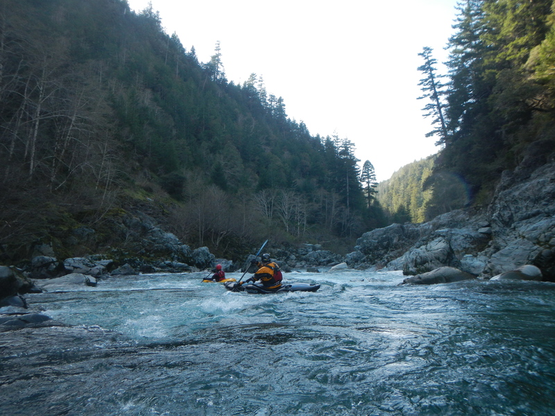 Rapid
IV
Rapid
IV
Slalom Course
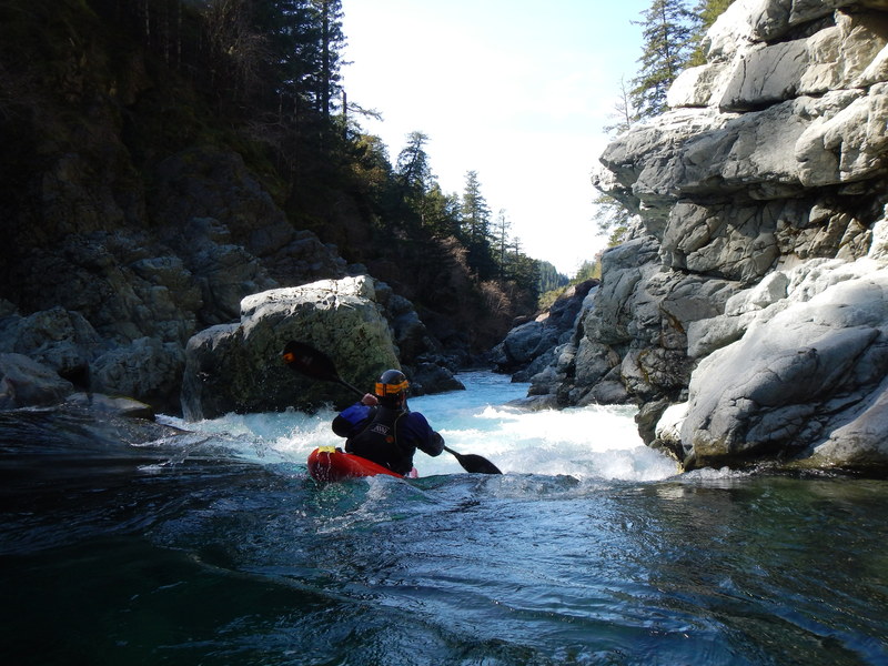 Rapid
IV
Rapid
IV
Gorge Entrance (#1)
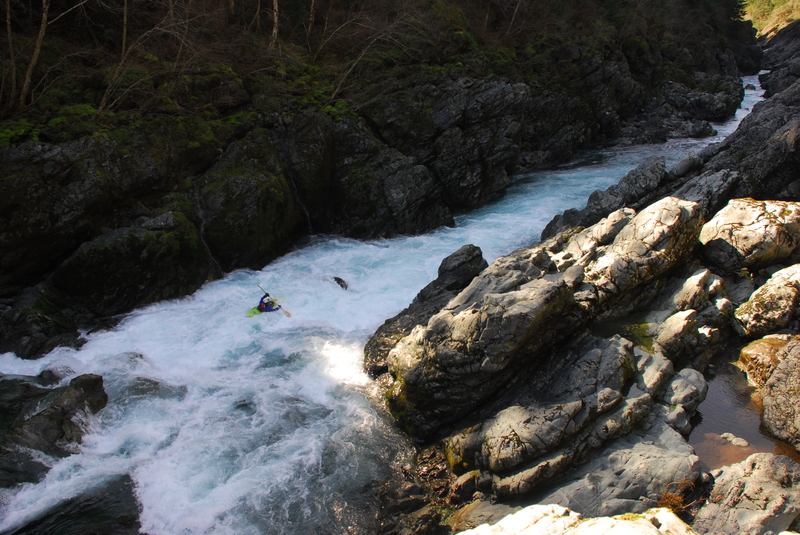 Rapid
V
Rapid
V
Good Luck! (#2)
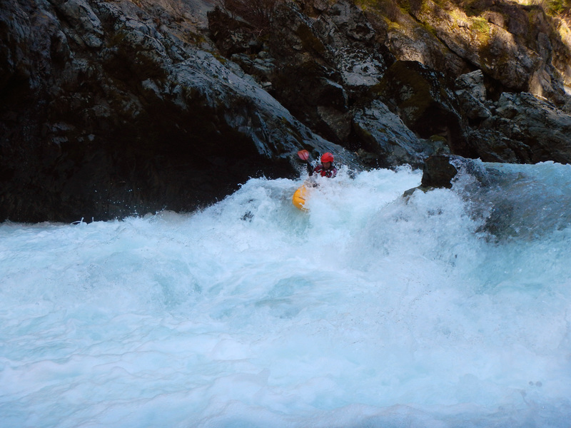 Rapid
IV
Rapid
IV
The Boof (#3)
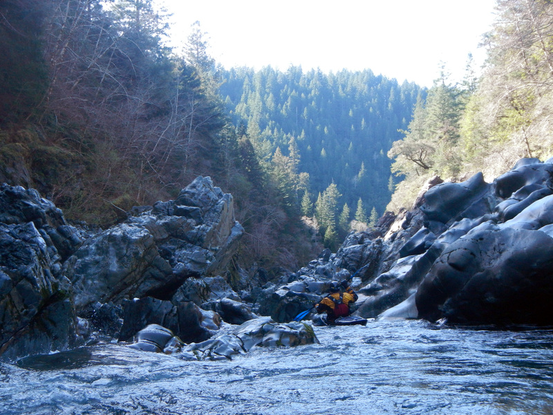 Rapid
IV
Rapid
IV
Slot (#4)
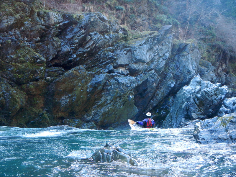 Rapid
IV
Rapid
IV
Final Rapid (#5)
Rapid
N/A
South Fork Road Bridge, Take Out
View Full Run
Stevens Bridge to Craigs Beach River Access
Smith, South Fork
II-IV+
12.0 mi
Current Conditions
5-Day Forecast
Whitewater data from
American Whitewater
American Whitewater