Deliverance Rock
Save this feature with the run it belongs to.
Gauge Conditions
Data from American Whitewater & USGS
Photo
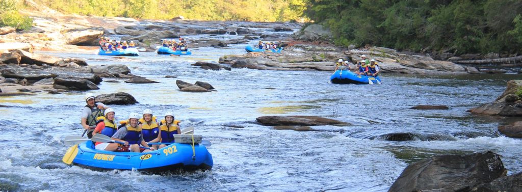
Photo courtesy of American Whitewater
Description
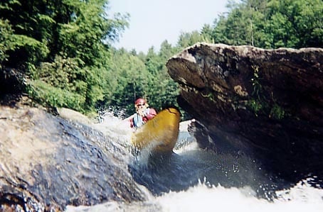
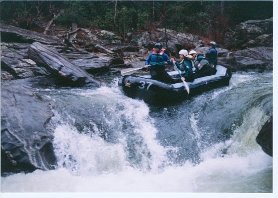
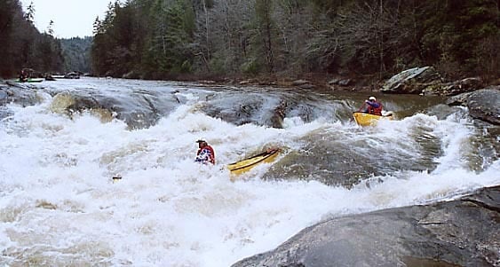
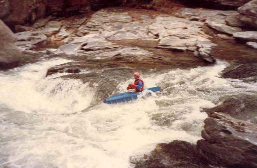
Most people start from the top right, then eddy hop down. The river will eventually go around the left side of a house sized rock. The left side of the rock is mildly undercut. This rapid was seen several times in the film Deliverance. Every time the river goes over 6 feet a new tree gets deposited on top (20 feet up) of the rock. At flows above 4 feet one of the strongest holes on the river is found here.
Location
Interactive river map
Loads as you approach this section.
Other Rapids on This Run (20)
 Rapid
N/A
Rapid
N/A
Highway 76 Put In
 Rapid
IV+
Rapid
IV+
Bull Sluice
 Playspot
III
Playspot
III
Surf Rapid
 Rapid
III
Rapid
III
Screaming Left Turn
 Rapid
III
Rapid
III
Rock Jumble
 Hazard
III+
Hazard
III+
Woodall Shoals
 Playspot
III+
Playspot
III+
The playspot above 7 foot
 Rapid
IV
Rapid
IV
7 Foot Falls
 Rapid
II+
Rapid
II+
Beaver Skull
 Rapid
III+
Rapid
III+
Stekoa Creek Rapid
 Playspot
III
Playspot
III
Long Creek Falls Rapid and Playspot
 Playspot
II+
Playspot
II+
Turtle Head Rock
 Hazard
III+
Hazard
III+
Ravens Chute
 Rapid
II+
Rapid
II+
Tunnel of Love
 Hazard
III
Hazard
III
Hidden Rock
 Rapid
III+
Rapid
III+
Little Woodall
 Rapid
Rapid
Camp Creek
 Rapid
Rapid
Five Falls
 Rapid
IV
Rapid
IV
Entrance
 Rapid
IV+
Rapid
IV+
Corkscrew
View Full Run
Section 4 - Route 76 Bridge to Tugaloo Lake Boat Ramp
Chattooga
II-IV+
8.4 mi
Current Conditions
5-Day Forecast
Whitewater data from
American Whitewater
American Whitewater