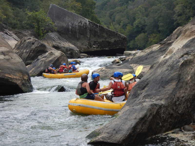
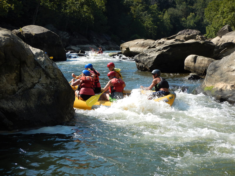
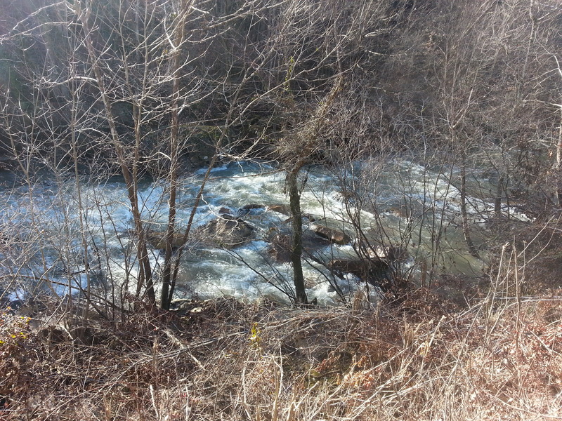
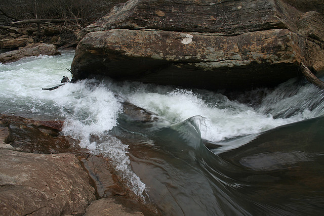
Rapid
KY
Double-track/truck-trail
Save this feature with the run it belongs to.
Gauge Conditions
Runnable: ? – ? CFS
Approximate - nearest available gauge. Use as general reference only.
Data from American Whitewater & USGS
Description
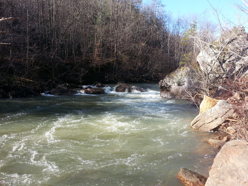
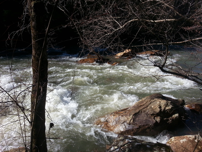
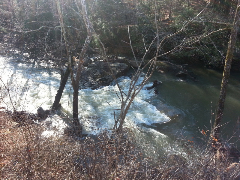
On river-left, the aerial view shows what appears to be a double-track truck trail which may head into/across the creek at this point. (Possible access? Or private? Maybe for powerlines which I think I see crossing at this point?)
Location
Other Rapids on This Run (11)
View Full Run
C) White Oak Junction to Big S. Fork of Cumberland R. (0.6-4 miles)
Rock Creek (Cumberland trib)
II-III(IV)
4.0 mi
Current Conditions
5-Day Forecast
Whitewater data from
American Whitewater
American Whitewater