Rapid
KY
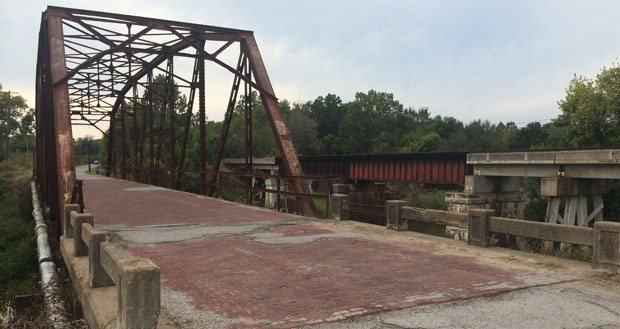
Iron Bridge
Save this feature with the run it belongs to.
Gauge Conditions
Runnable: ? – ? CFS
Approximate - nearest available gauge. Use as general reference only.
Data from American Whitewater & USGS
Photo
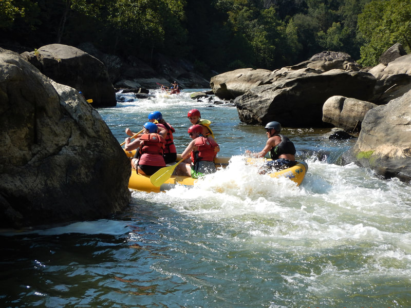
Photo courtesy of American Whitewater
Description
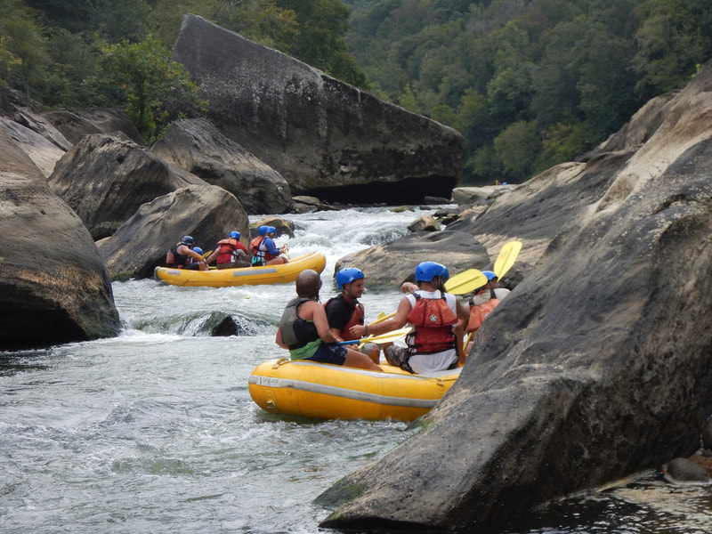
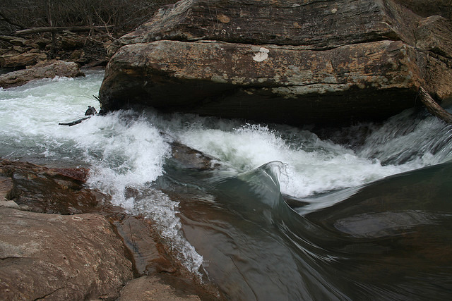
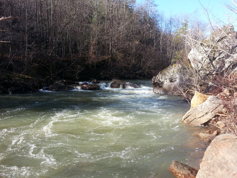
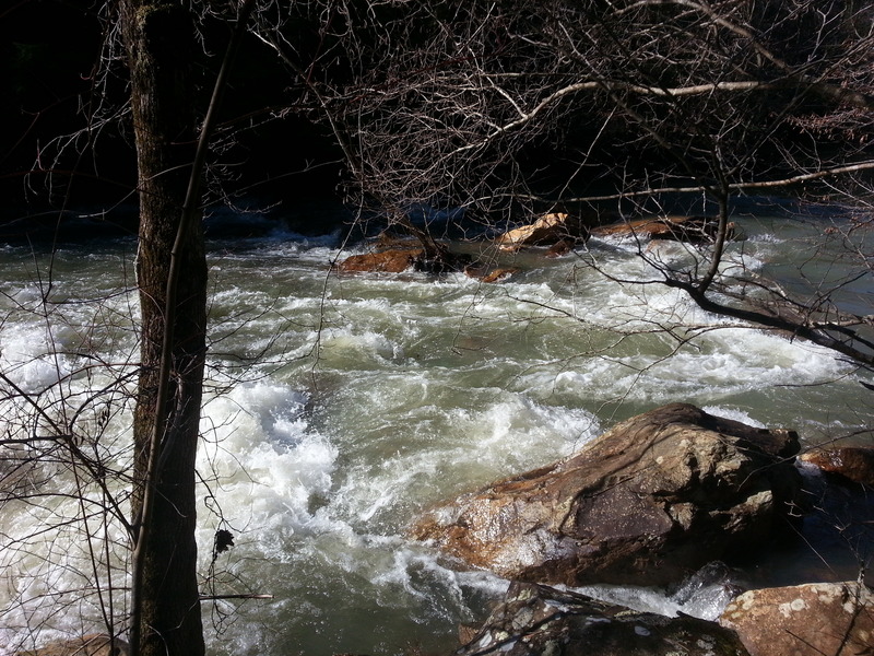
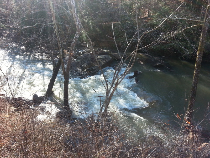
Iron Bridge rapid presents a technical section with multiple mid-stream boulder formations that create complex water breaks and potential pinning hazards. Paddlers should carefully navigate the center-left line to avoid exposed rocks and potential hydraulics near the bridge abutments, with heightened caution required during lower water levels when submerged obstacles become more prominent.
Location
Other Rapids on This Run (11)
View Full Run
C) White Oak Junction to Big S. Fork of Cumberland R. (0.6-4 miles)
Rock Creek (Cumberland trib)
II-III(IV)
4.0 mi
Current Conditions
5-Day Forecast
Whitewater data from
American Whitewater
American Whitewater