Rapid
WI
Drainage Area: 28.7 square miles
Save this feature with the run it belongs to.
Gauge Conditions
Runnable: ? – ? CFS
Approximate - nearest available gauge. Use as general reference only.
Data from American Whitewater & USGS
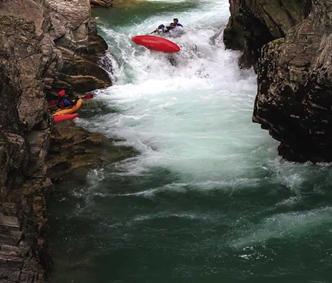
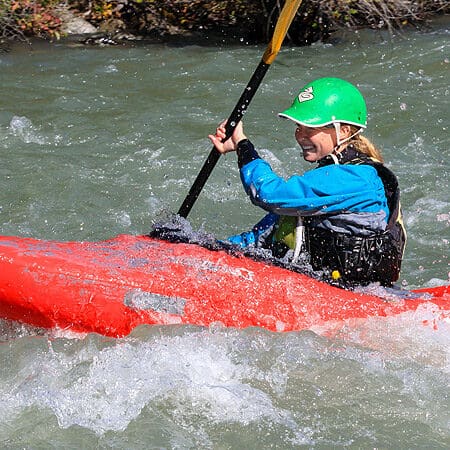
Photo
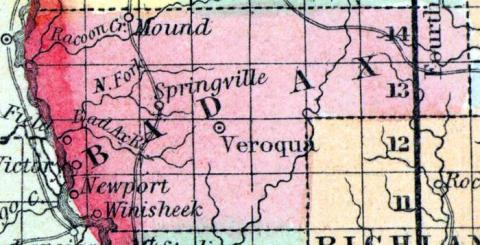
Photo courtesy of American Whitewater
Description
Drainage just below CTH.Y and the dam is ~28.7 square miles. By our listed take-out, it has increased to 57.4 square miles (exactly double!).
A video of a trip which used different start and end points, but should be generally quite representative of this run is available on YouTube: https://youtu.be/L7GrN__JhVk
A video of a trip which used different start and end points, but should be generally quite representative of this run is available on YouTube: https://youtu.be/L7GrN__JhVk
Location
Other Rapids on This Run (2)
View Full Run
B) CTH.Y to Upper Newton Road (4.5 miles)
Bad Axe, N.Fk.
I-II
4.2 mi
Current Conditions
5-Day Forecast
Whitewater data from
American Whitewater
American Whitewater