Rapid
MI
Drainage area ~54 square miles.
Save this feature with the run it belongs to.
No sufficiently local live gauge linked. 1 automated match was excluded because locality could not be verified. Use the parent run and local sources before making a trip decision.
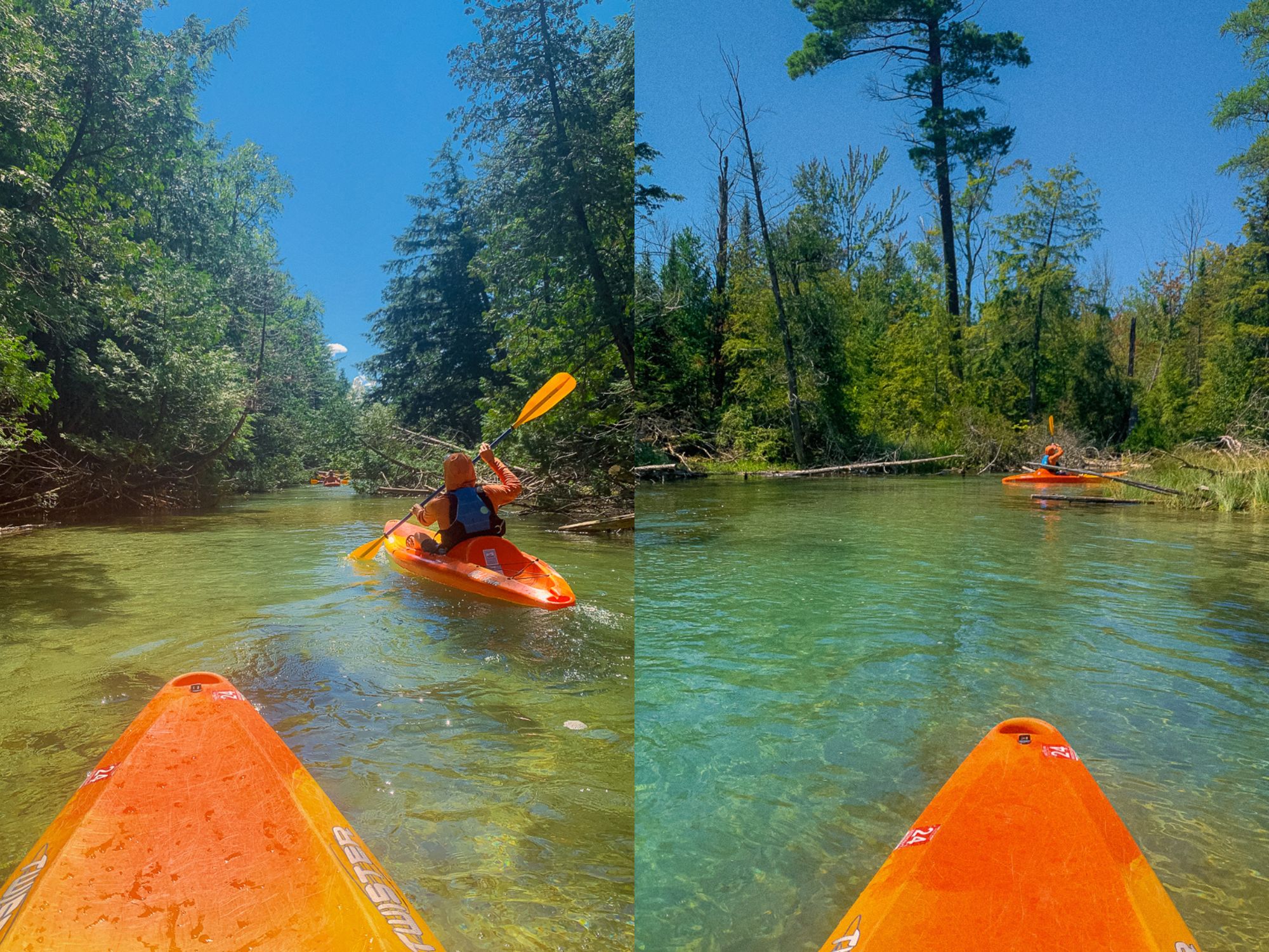
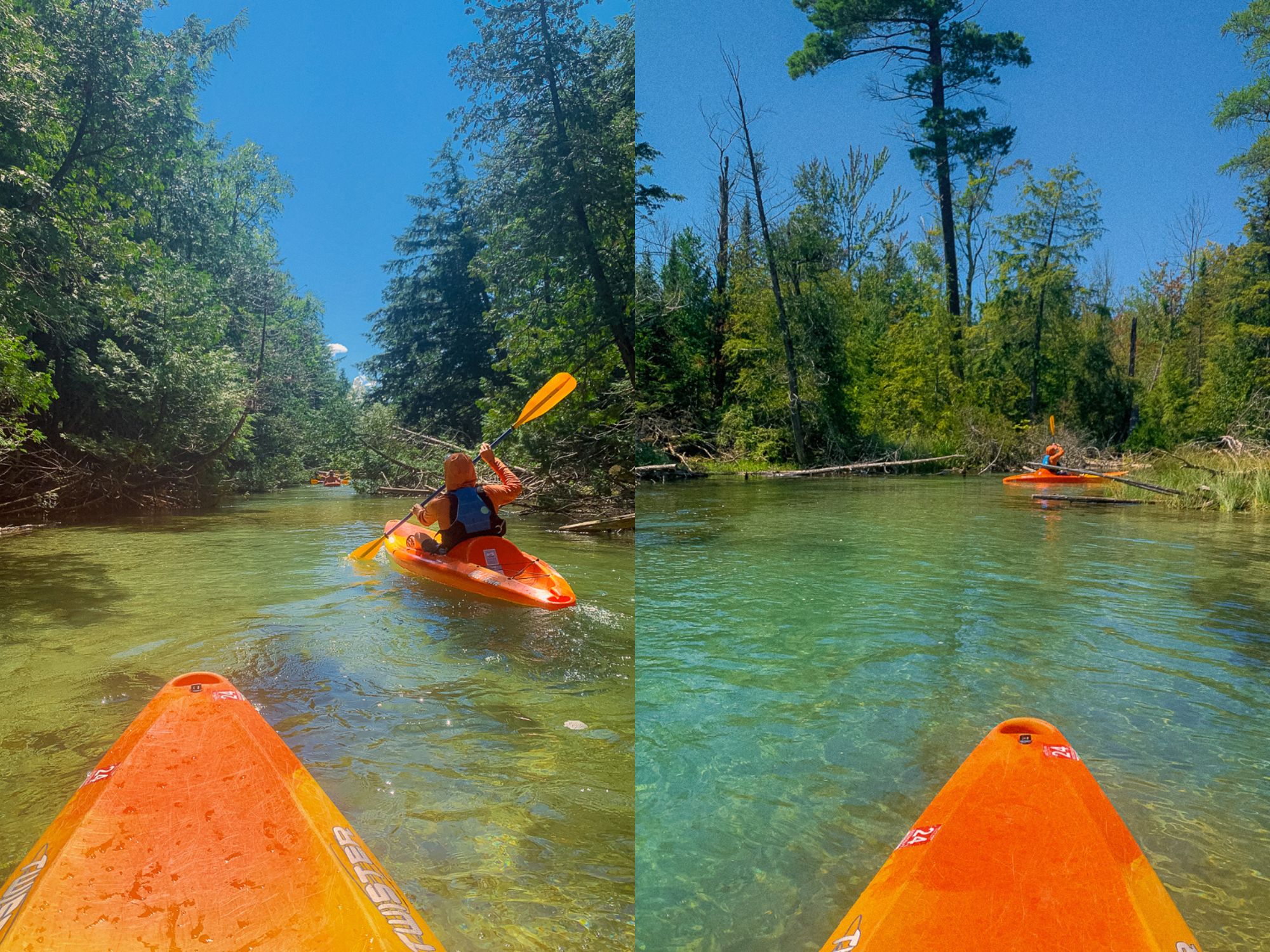
Photo

Photo courtesy of American Whitewater
Description
The Chocolay River rapid at Highway 41 presents a relatively unknown stretch with potential technical navigation through potential rock gardens and tight turns. While specific difficulty ratings are unavailable, paddlers should anticipate careful route selection and potential shallow or obstructed passages given the modest drainage area. Local scouting and water level assessment are recommended before attempting this section.
Location
Other Rapids on This Run (4)


View Full Run
Hwy.41 to Cty Road BH (Green Garden Rd) (5.7 miles)
Chocolay
I-II(III)
5.2 mi
Current Conditions
5-Day Forecast
Whitewater data from
American Whitewater
American Whitewater